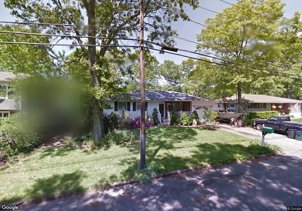
183 Cherokee St Ronkonkoma, NY 11779
Estimated Value: $562,671 - $666,000
3
Beds
1
Bath
1,200
Sq Ft
$509/Sq Ft
Est. Value
About This Home
This home is located at 183 Cherokee St, Ronkonkoma, NY 11779 and is currently estimated at $611,168, approximately $509 per square foot. 183 Cherokee St is a home located in Suffolk County with nearby schools including Cherokee Street Elementary School, Ronkonkoma Middle School, and Connetquot High School.
Ownership History
Date
Name
Owned For
Owner Type
Purchase Details
Closed on
Sep 14, 2018
Sold by
Litsakis Demetrios and Litsakis Evonne
Bought by
Booras Kevin M
Current Estimated Value
Home Financials for this Owner
Home Financials are based on the most recent Mortgage that was taken out on this home.
Original Mortgage
$256,080
Outstanding Balance
$218,494
Interest Rate
4.5%
Mortgage Type
New Conventional
Estimated Equity
$392,674
Create a Home Valuation Report for This Property
The Home Valuation Report is an in-depth analysis detailing your home's value as well as a comparison with similar homes in the area
Home Values in the Area
Average Home Value in this Area
Purchase History
| Date | Buyer | Sale Price | Title Company |
|---|---|---|---|
| Booras Kevin M | $264,000 | -- |
Source: Public Records
Mortgage History
| Date | Status | Borrower | Loan Amount |
|---|---|---|---|
| Open | Booras Kevin M | $256,080 |
Source: Public Records
Tax History Compared to Growth
Tax History
| Year | Tax Paid | Tax Assessment Tax Assessment Total Assessment is a certain percentage of the fair market value that is determined by local assessors to be the total taxable value of land and additions on the property. | Land | Improvement |
|---|---|---|---|---|
| 2024 | -- | $33,850 | $10,500 | $23,350 |
| 2023 | -- | $33,850 | $10,500 | $23,350 |
| 2022 | $8,357 | $33,850 | $10,500 | $23,350 |
| 2021 | $8,357 | $33,850 | $10,500 | $23,350 |
| 2020 | $8,357 | $33,850 | $10,500 | $23,350 |
| 2019 | $8,357 | $0 | $0 | $0 |
| 2018 | -- | $33,850 | $10,500 | $23,350 |
| 2017 | $7,759 | $33,850 | $10,500 | $23,350 |
| 2016 | $7,751 | $33,850 | $10,500 | $23,350 |
| 2015 | -- | $33,850 | $10,500 | $23,350 |
| 2014 | -- | $33,850 | $10,500 | $23,350 |
Source: Public Records
Map
Nearby Homes
- 45 Richmond Blvd Unit 4A
- 43 Richmond Blvd Unit 2A
- 277 Shelter Rd
- 231 Shelter Rd
- 3 Broadway
- 159 Mohawk St
- 63 Richmond Blvd Unit 4B
- 57 Richmond Blvd Unit 2B
- 48 W 5th St
- 130 N Huron St
- 187 N Huron St
- 70 W 8th St
- 53 W 8th St
- 143 Belle Ave
- 268 Haven Ave
- 87 Richmond Blvd Unit 2B
- 281 Fir Grove Rd Unit 4
- 394 Central Islip Blvd
- 84 Broadway
- 99 W 2nd St
- 179 Cherokee St
- 187 Cherokee St
- 176 N Ontario St
- 168 N Ontario St
- 175 Cherokee St
- 191 Cherokee St
- 162 N Ontario St
- 189 Seminole St
- 190 N Ontario St
- 183 Seminole St
- 195 Cherokee St
- 195 Seminole St
- 21 Mohican Ave
- 156 N Ontario St
- 171 N Ontario St
- 177 Seminole St
- 201 Seminole St
- 155 N Ontario St
- 205 Cherokee St
- 187 N Ontario St