183 Circle M Farm Ln Mocksville, NC 27028
Estimated Value: $196,000 - $709,273
2
Beds
--
Bath
762
Sq Ft
$566/Sq Ft
Est. Value
About This Home
This home is located at 183 Circle M Farm Ln, Mocksville, NC 27028 and is currently estimated at $431,091, approximately $565 per square foot. 183 Circle M Farm Ln is a home with nearby schools including William R. Davie Elementary School, North Davie Middle School, and Davie County High School.
Ownership History
Date
Name
Owned For
Owner Type
Purchase Details
Closed on
Jul 1, 2023
Sold by
Motley Investments Llc
Bought by
Landyield Us I Llc
Current Estimated Value
Purchase Details
Closed on
Dec 29, 2021
Sold by
Christine Motley Danielle
Bought by
Motley Samuel Bryant and Motley John David
Purchase Details
Closed on
Nov 1, 1970
Purchase Details
Closed on
Jul 1, 1968
Purchase Details
Closed on
Jun 1, 1968
Create a Home Valuation Report for This Property
The Home Valuation Report is an in-depth analysis detailing your home's value as well as a comparison with similar homes in the area
Home Values in the Area
Average Home Value in this Area
Purchase History
| Date | Buyer | Sale Price | Title Company |
|---|---|---|---|
| Landyield Us I Llc | -- | None Listed On Document | |
| Landyield Us I Llc | -- | None Listed On Document | |
| Motley Samuel Bryant | -- | Brewer Edward Y | |
| -- | -- | -- | |
| -- | -- | -- | |
| -- | -- | -- |
Source: Public Records
Tax History Compared to Growth
Tax History
| Year | Tax Paid | Tax Assessment Tax Assessment Total Assessment is a certain percentage of the fair market value that is determined by local assessors to be the total taxable value of land and additions on the property. | Land | Improvement |
|---|---|---|---|---|
| 2025 | $2,075 | $300,900 | $0 | $0 |
| 2024 | $1,883 | $243,080 | $0 | $0 |
| 2023 | $1,889 | $243,080 | $0 | $0 |
| 2022 | $1,889 | $243,080 | $0 | $0 |
| 2021 | $1,889 | $243,080 | $0 | $0 |
| 2020 | $2,047 | $261,830 | $0 | $0 |
| 2019 | $2,088 | $261,830 | $0 | $0 |
| 2018 | $2,037 | $261,830 | $0 | $0 |
| 2017 | $2,026 | $261,830 | $0 | $0 |
| 2016 | $2,155 | $278,560 | $0 | $0 |
| 2015 | $2,154 | $278,560 | $0 | $0 |
| 2014 | $1,851 | $278,560 | $0 | $0 |
| 2013 | -- | $278,560 | $0 | $0 |
Source: Public Records
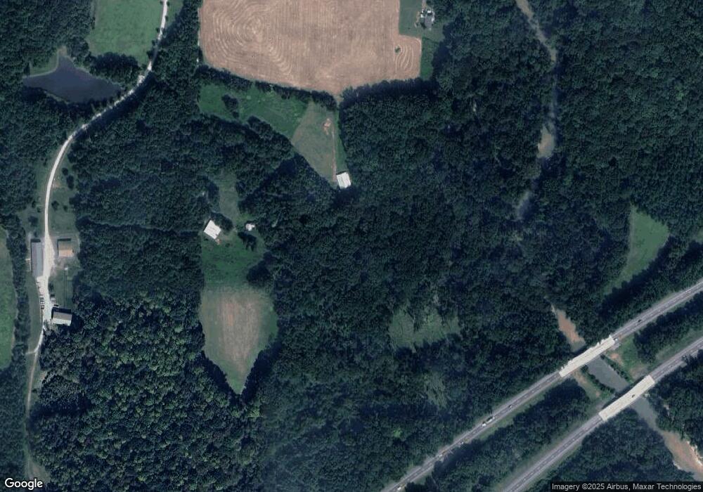
Map
Nearby Homes
- 567 Godbey Rd
- 00 Oakland Ave
- 128 Oak Tree Dr
- 172 Oak Tree Dr Unit 98
- 172 Oak Tree Dr
- 128 Oak Tree Dr Unit 145
- 152 Oak Tree Dr
- 2082 US Highway 64 W
- 1418 E Memorial Hwy
- 833 Calahaln Rd
- 460 Mr Henry Rd
- 311 Society Rd
- 219 Society Rd
- 192 Culloden Dr
- 400 Ratledge Rd
- 190 Campground Rd
- 286 Edwards Rd
- 100 N Wentworth Dr
- 0 Ralph Ratledge Rd
- 168 Murphy Rd
- 1147 Godbey Rd
- 129 Woodvale Dr
- 150 Woodvale Dr
- 1234 Godbey Rd
- 1302 Godbey Rd
- 213 Hodges Dr
- 173 Woodvale Dr
- 1320 Godbey Rd
- 212 Pine Forest Ln
- 220 Pine Forest Ln
- 200 Hodges Dr
- 220 Woodvale Dr
- 230 Pine Forest Ln
- 107 Davie Farms Trail
- 155 Pine Forest Ln
- 157 Davie Farms Trail
- 1422 Godbey Rd
- 175 Pine Forest Ln
- 1493 Godbey Rd
- 217 Davie Farms Trail