

183 College Ave Unit 1 Somerville, MA 02144
4
Beds
1
Bath
9,999
Sq Ft
3,528
Sq Ft Lot
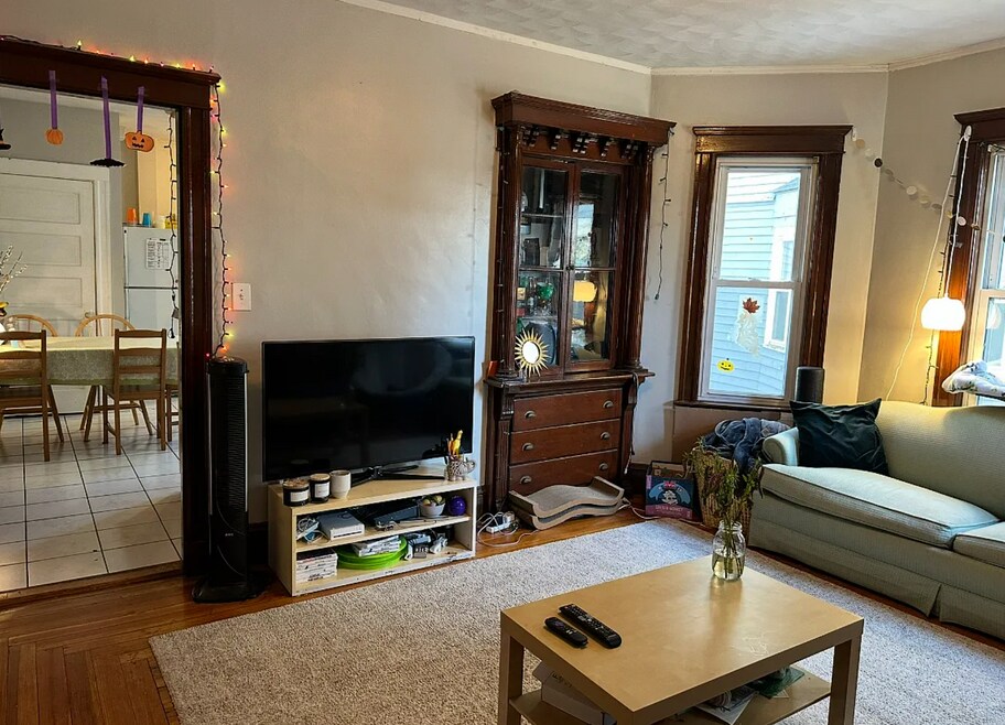
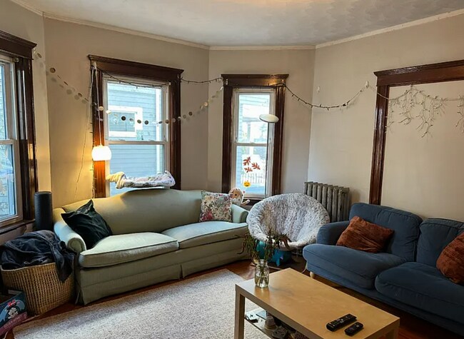
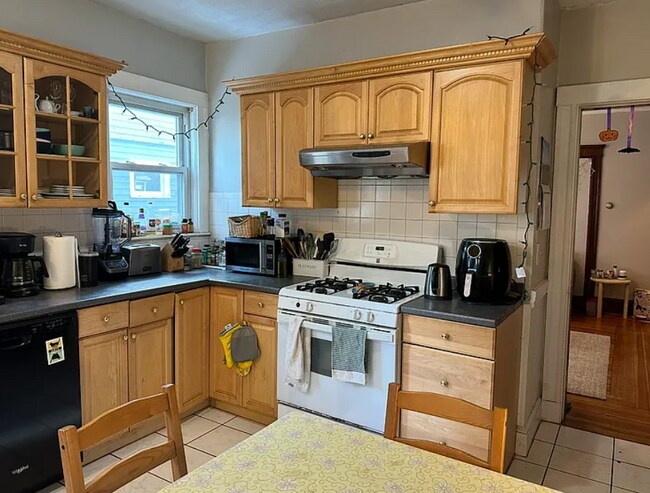
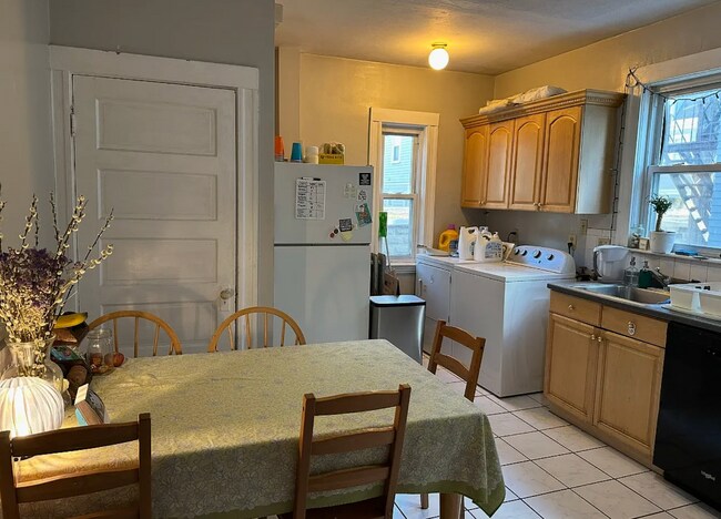
About This Home
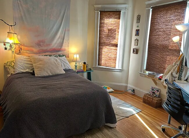
This apartment is located at 183 College Ave Unit 1, Somerville, MA 02144 and is currently priced between $5,600. This property was built in 1900. 183 College Ave Unit 1 is a home located in Middlesex County with nearby schools including Somerville High School and St. Clement Elementary School.
Listing Provided By

Map
Nearby Homes
- 111 Pearson Rd
- 26 Warner St
- 15 Colby St
- 23 Ossipee Rd
- 22 Ossipee Rd Unit 2
- 20 Electric Ave Unit 2
- 81 Princeton St
- 9 Kidder Ave Unit 2
- 57 Packard Ave Unit B
- 55 Packard Ave Unit 1
- 54 Lowden Ave Unit 2
- 32 Hall Ave Unit 1
- 31 Wareham St
- 122 Burget Ave
- 74 Windsor Rd
- 159 Harvard St Unit 1R
- 12 Wellesley St
- 122 Holland St Unit 4
- 39 Rogers Ave
- 11 Bonner Ave Unit 2
- 66 Bromfield Rd Unit 1
- 78 Bromfield Rd Unit 2
- 195 College Ave Unit 2
- 50 Bromfield Rd Unit 1
- 65 Bromfield Rd
- 69 Bromfield Rd Unit 2
- 69 Bromfield Rd
- 61 Bromfield Rd Unit 1
- 86 Bromfield Rd Unit 1
- 57 Bromfield Rd Unit 2
- 201 College Ave Unit 1
- 42 Bromfield Rd Unit 2
- 42 Bromfield Rd Unit 2
- 205 College Ave Unit 2
- 37 Bromfield Rd Unit 1
- 116 Pearson Rd Unit 2
- 77 Pearson Rd
- 29 Bromfield Rd Unit U1
- 115 Pearson Rd Unit 2
- 24 Dearborn Rd Unit 2