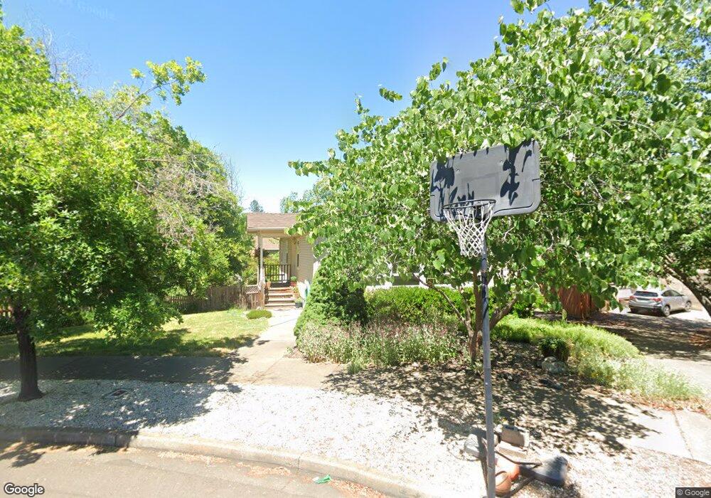
183 Crispin St Ashland, OR 97520
Cottage District NeighborhoodEstimated Value: $520,388 - $635,000
4
Beds
2
Baths
1,869
Sq Ft
$305/Sq Ft
Est. Value
About This Home
This home is located at 183 Crispin St, Ashland, OR 97520 and is currently estimated at $570,597, approximately $305 per square foot. 183 Crispin St is a home located in Jackson County with nearby schools including Walker Elementary School, Ashland Middle School, and Ashland High School.
Ownership History
Date
Name
Owned For
Owner Type
Purchase Details
Closed on
Apr 23, 1999
Sold by
Bradshaw Roger B and Bradshaw Karen L
Bought by
Snyder Dennis G and Snyder Harriet W
Current Estimated Value
Home Financials for this Owner
Home Financials are based on the most recent Mortgage that was taken out on this home.
Original Mortgage
$74,500
Outstanding Balance
$18,959
Interest Rate
7.1%
Estimated Equity
$551,638
Create a Home Valuation Report for This Property
The Home Valuation Report is an in-depth analysis detailing your home's value as well as a comparison with similar homes in the area
Home Values in the Area
Average Home Value in this Area
Purchase History
| Date | Buyer | Sale Price | Title Company |
|---|---|---|---|
| Snyder Dennis G | $174,500 | Jackson County Title |
Source: Public Records
Mortgage History
| Date | Status | Borrower | Loan Amount |
|---|---|---|---|
| Open | Snyder Dennis G | $74,500 |
Source: Public Records
Tax History Compared to Growth
Tax History
| Year | Tax Paid | Tax Assessment Tax Assessment Total Assessment is a certain percentage of the fair market value that is determined by local assessors to be the total taxable value of land and additions on the property. | Land | Improvement |
|---|---|---|---|---|
| 2025 | $4,458 | $287,510 | $88,780 | $198,730 |
| 2024 | $4,458 | $279,140 | $86,200 | $192,940 |
| 2023 | $4,312 | $271,010 | $83,690 | $187,320 |
| 2022 | $4,174 | $271,010 | $83,690 | $187,320 |
| 2021 | $4,032 | $263,120 | $81,260 | $181,860 |
| 2020 | $3,919 | $255,460 | $78,900 | $176,560 |
| 2019 | $3,857 | $240,800 | $74,370 | $166,430 |
| 2018 | $3,643 | $233,790 | $72,210 | $161,580 |
| 2017 | $3,617 | $233,790 | $72,210 | $161,580 |
| 2016 | $3,523 | $220,380 | $68,080 | $152,300 |
| 2015 | $3,387 | $220,380 | $68,080 | $152,300 |
| 2014 | $3,277 | $207,740 | $64,170 | $143,570 |
Source: Public Records
Map
Nearby Homes
- 500 Poplar Place
- 224 Alicia St
- 767 Oak St
- 391 Clinton St Unit 5200
- 401 Clinton St
- 403 Briscoe Place
- 520 Helman St
- 419 Clinton St
- 453 Williamson Way
- 165 Water St
- 173 Helman St
- 237 B St
- 496 Starflower Ln
- 252 B St
- 292 B St
- 166 Mountain View Dr
- 411 N Mountain Ave
- 380 Hemlock Ln
- 175 Lithia Way Unit 200
- 586 B St
- 187 Crispin St
- 191 Crispin St
- 179 Crispin St
- 204 Jessica Ln
- 198 Jessica Ln
- 210 Jessica Ln
- 190 Crispin St
- 195 Crispin St
- 190 Jessica Ln
- 175 Crispin St
- 218 Jessica Ln
- 184 Jessica Ln
- 178 Crispin St
- 215 Patterson St
- 176 Jessica Ln
- 198 Crispin St
- 217 Patterson St
- 224 Jessica Ln
- 171 Crispin St
- 557 Carol St