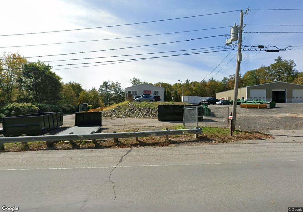
183 E County Rd Rutland, MA 01543
3
Beds
1
Bath
800
Sq Ft
65,340
Sq Ft Lot
About This Home
This home is located at 183 E County Rd, Rutland, MA 01543. 183 E County Rd is a home located in Worcester County with nearby schools including Wachusett Regional High School.
Ownership History
Date
Name
Owned For
Owner Type
Purchase Details
Closed on
Jul 14, 2003
Sold by
Moosehill Corp
Bought by
Route 68 Corp
Purchase Details
Closed on
May 25, 2000
Sold by
Moosehill Corp
Bought by
Curtis Marc D and Curtis Christopher R
Home Financials for this Owner
Home Financials are based on the most recent Mortgage that was taken out on this home.
Original Mortgage
$20,000
Interest Rate
8.1%
Mortgage Type
Commercial
Purchase Details
Closed on
Jun 11, 1999
Sold by
Merrill Lynch Mtg Cap
Bought by
Moosehill Corp
Purchase Details
Closed on
Apr 13, 1999
Sold by
Delaurie John R
Bought by
Merrill Lynch Mtg Cap
Create a Home Valuation Report for This Property
The Home Valuation Report is an in-depth analysis detailing your home's value as well as a comparison with similar homes in the area
Home Values in the Area
Average Home Value in this Area
Purchase History
| Date | Buyer | Sale Price | Title Company |
|---|---|---|---|
| Route 68 Corp | -- | -- | |
| Route 68 Corp | $57,000 | -- | |
| Route 68 Corp | -- | -- | |
| Curtis Marc D | $50,000 | -- | |
| Curtis Marc D | $50,000 | -- | |
| Moosehill Corp | $38,000 | -- | |
| Moosehill Corp | $38,000 | -- | |
| Merrill Lynch Mtg Cap | $27,300 | -- | |
| Merrill Lynch Mtg Cap | $27,300 | -- |
Source: Public Records
Mortgage History
| Date | Status | Borrower | Loan Amount |
|---|---|---|---|
| Previous Owner | Merrill Lynch Mtg Cap | $20,000 |
Source: Public Records
Tax History
| Year | Tax Paid | Tax Assessment Tax Assessment Total Assessment is a certain percentage of the fair market value that is determined by local assessors to be the total taxable value of land and additions on the property. | Land | Improvement |
|---|---|---|---|---|
| 2025 | $7,628 | $535,700 | $112,500 | $423,200 |
| 2024 | $6,840 | $461,200 | $105,000 | $356,200 |
| 2023 | $6,494 | $473,300 | $105,000 | $368,300 |
| 2022 | $7,473 | $473,300 | $105,000 | $368,300 |
| 2021 | $7,817 | $468,100 | $105,000 | $363,100 |
| 2020 | $7,065 | $401,200 | $85,100 | $316,100 |
| 2019 | $6,920 | $386,800 | $81,000 | $305,800 |
| 2018 | $7,013 | $386,800 | $81,000 | $305,800 |
| 2017 | $10,990 | $387,000 | $81,000 | $306,000 |
| 2016 | $6,389 | $367,800 | $76,800 | $291,000 |
| 2015 | $6,492 | $367,800 | $76,800 | $291,000 |
| 2014 | $6,293 | $367,800 | $76,800 | $291,000 |
Source: Public Records
Map
Nearby Homes
- 569 E County Rd
- 14 Grizzly Dr
- 35 Brintnal Dr
- 8 Vista Cir
- 14 Richards Ave
- 5 Miles Rd
- 39 Laurelwood Rd
- 22 Village Way
- 20 Fernwood Dr
- 27 Lewis St
- 11 Lewis St
- 21 Lewis St
- 12 Lewis St
- 6 Lewis St
- 28 Forest Hill Dr
- 9 Stagecoach Rd
- 100 Brooks Station Rd
- 5 Karen Way
- 85 Maple Ave Unit A
- 132 Fidelity Dr Unit 61
- 183 E County Rd Unit 1
- 167 E County Rd
- 192 E County Rd
- 196 E County Rd
- 182 E County Rd
- 0 E Cr 178 Unit 164806
- 200 E County Rd
- 18 Michael Dr
- 16A Michae4l Dr
- 204 E County Rd
- 16 Michael Dr
- 191A E County Rd
- 176 E County Rd
- 20 Michael Dr
- 24 Michael Dr
- 24 Michael Dr
- 22 Michael Dr
- 208 E County Rd
- 10 Michael Dr
- 26 Michael Dr
Your Personal Tour Guide
Ask me questions while you tour the home.