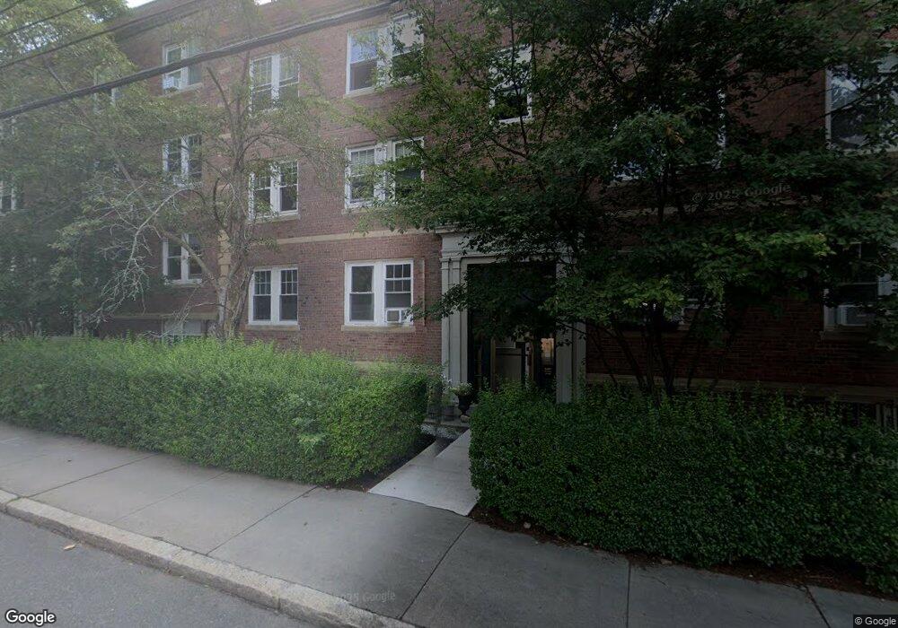
183 Kent St Unit 5 Brookline, MA 02446
Coolidge Corner NeighborhoodEstimated Value: $565,170 - $764,000
2
Beds
1
Bath
631
Sq Ft
$1,050/Sq Ft
Est. Value
About This Home
This home is located at 183 Kent St Unit 5, Brookline, MA 02446 and is currently estimated at $662,543, approximately $1,049 per square foot. 183 Kent St Unit 5 is a home located in Norfolk County with nearby schools including Amos A. Lawrence School, St. Mary of the Assumption Elementary School, and Winsor School.
Ownership History
Date
Name
Owned For
Owner Type
Purchase Details
Closed on
Jun 25, 2008
Sold by
Chu Chiu C and Chu May C
Bought by
Chu Andy C
Current Estimated Value
Purchase Details
Closed on
Jun 4, 1990
Sold by
Richman Howard R
Bought by
Chu Chiu C
Home Financials for this Owner
Home Financials are based on the most recent Mortgage that was taken out on this home.
Original Mortgage
$74,900
Interest Rate
10.25%
Mortgage Type
Purchase Money Mortgage
Create a Home Valuation Report for This Property
The Home Valuation Report is an in-depth analysis detailing your home's value as well as a comparison with similar homes in the area
Home Values in the Area
Average Home Value in this Area
Purchase History
| Date | Buyer | Sale Price | Title Company |
|---|---|---|---|
| Chu Andy C | -- | -- | |
| Chu Chiu C | $107,000 | -- |
Source: Public Records
Mortgage History
| Date | Status | Borrower | Loan Amount |
|---|---|---|---|
| Previous Owner | Chu Chiu C | $56,000 | |
| Previous Owner | Chu Chiu C | $74,900 |
Source: Public Records
Tax History Compared to Growth
Tax History
| Year | Tax Paid | Tax Assessment Tax Assessment Total Assessment is a certain percentage of the fair market value that is determined by local assessors to be the total taxable value of land and additions on the property. | Land | Improvement |
|---|---|---|---|---|
| 2025 | $4,690 | $475,200 | $0 | $475,200 |
| 2024 | $4,552 | $465,900 | $0 | $465,900 |
| 2023 | $4,516 | $453,000 | $0 | $453,000 |
| 2022 | $4,525 | $444,100 | $0 | $444,100 |
| 2021 | $4,309 | $439,700 | $0 | $439,700 |
| 2020 | $4,115 | $435,400 | $0 | $435,400 |
| 2019 | $3,885 | $414,600 | $0 | $414,600 |
| 2018 | $3,672 | $388,200 | $0 | $388,200 |
| 2017 | $3,551 | $359,400 | $0 | $359,400 |
| 2016 | $3,404 | $326,700 | $0 | $326,700 |
| 2015 | $3,172 | $297,000 | $0 | $297,000 |
| 2014 | $3,116 | $273,600 | $0 | $273,600 |
Source: Public Records
Map
Nearby Homes
- 216 Aspinwall Ave
- 214 Aspinwall Ave Unit 2
- 65 Francis St Unit 65
- 65 Francis St
- 151 Longwood Ave Unit 1
- 106 Brook St
- 120 Brook St Unit 1
- 58 Kent St Unit 302
- 58 Kent St Unit 404
- 58 Kent St Unit 305
- 58 Kent St Unit 303
- 20 Chapel St Unit APH4
- 20 Chapel St Unit B712
- 20 Chapel St Unit B811
- 14 Linden St Unit 8
- 390 Riverway Unit 24
- 39 Kent St Unit B
- 820-824 Huntington Ave
- 30 Stearns Rd Unit 302
- 60 Longwood Ave Unit 802
- 183 Kent St Unit 6
- 183 Kent St Unit 4
- 183 Kent St Unit 3
- 183 Kent St Unit 2
- 183 Kent St Unit 1
- 183 Kent St Unit B
- 183 Kent St Unit ID1238044P
- 183 Kent St Unit ID1237993P
- 183 Kent St Unit 23##
- 183 Kent St Unit 37
- 183 Kent St Unit 183,2
- 183 Kent St Unit 3, 183
- 183 Kent St Unit 1 183
- 183 Kent St Unit 2
- 179 Kent St Unit 1A
- 179 Kent St Unit 6
- 179 Kent St Unit 5
- 179 Kent St Unit 4
- 179 Kent St Unit 3
- 179 Kent St Unit 2