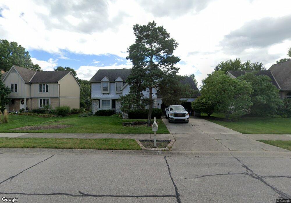
183 Muladore Dr Powell, OH 43065
Liberty AreaEstimated Value: $555,000 - $692,000
About This Home
This home is located at 183 Muladore Dr, Powell, OH 43065 and is currently estimated at $615,357, approximately $186 per square foot. 183 Muladore Dr is a home located in Delaware County with nearby schools including Wyandot Run Elementary School, Olentangy Liberty Middle School, and Olentangy High School.
Ownership History
We collect this data history from publicly available records. To have your information removed, we recommend requesting removal directly through your county’s website.
Purchase Details
Home Financials for this Owner
Home Financials are based on the most recent Mortgage that was taken out on this home.Home Values in the Area
Average Home Value in this Area
Purchase History
We collect this data history from publicly available records. To have your information removed, we recommend requesting removal directly through your county’s website.
| Date | Buyer | Sale Price | Title Company |
|---|---|---|---|
| $316,000 | -- |
Mortgage History
We collect this data history from publicly available records. To have your information removed, we recommend requesting removal directly through your county’s website.
| Date | Status | Borrower | Loan Amount |
|---|---|---|---|
| Open | $310,000 | ||
| Closed | $300,000 |
Tax History
We collect this data history from publicly available records. To have your information removed, we recommend requesting removal directly through your county’s website.
| Year | Tax Paid | Tax Assessment Tax Assessment Total Assessment is a certain percentage of the fair market value that is determined by local assessors to be the total taxable value of land and additions on the property. | Land | Improvement |
|---|---|---|---|---|
| 2025 | $8,989 | $153,200 | $34,830 | $118,370 |
| 2024 | $8,551 | $153,200 | $34,830 | $118,370 |
| 2023 | $8,571 | $153,200 | $34,830 | $118,370 |
| 2022 | $8,006 | $120,680 | $26,180 | $94,500 |
| 2021 | $8,626 | $120,680 | $26,180 | $94,500 |
| 2020 | $8,640 | $120,680 | $26,180 | $94,500 |
| 2019 | $7,305 | $104,930 | $22,750 | $82,180 |
| 2018 | $7,370 | $104,930 | $22,750 | $82,180 |
| 2017 | $7,116 | $99,610 | $18,690 | $80,920 |
| 2016 | $7,468 | $99,610 | $18,690 | $80,920 |
| 2015 | $6,819 | $99,610 | $18,690 | $80,920 |
| 2014 | $6,885 | $99,610 | $18,690 | $80,920 |
| 2013 | $6,774 | $95,760 | $18,690 | $77,070 |
Map
- 150 Barrington Place
- 130 Barrington Place
- 222 Beech Ridge Dr
- 52 Beech Ridge Dr
- 323 Village Ridge Dr
- 252 Hopewell Dr
- 129 Meadow Ridge Ct
- 104 Encore Park Bend S
- 121 Encore Park Bend N
- 122 Encore Park Bend N
- 122 Encore Park Bend
- 116 Encore Park Bend
- 116 Encore Park Bend S
- 121 Encore Park Bend
- 80 Brookehill Dr
- 7421 Phoebe Ln
- 7349 Celebration Dr
- 7312 Celebration Dr
- 171 W Case St
- 6384 Davis Cir
- 193 Muladore Dr
- 187 Muladore Dr
- 201 Muladore Dr
- 149 Chedworth Row
- 211 Muladore Dr
- 196 Muladore Dr
- 155 Chedworth Row
- 180 Barrington Place
- 199 Paddock Cir W
- 154 Chedworth Row
- 217 Muladore Dr
- 179 Muladore Dr
- 218 Muladore Dr
- 205 Paddock Cir W
- 221 Muladore Dr
- 80 Grace Dr
- 80 Grace Dr Unit F
- 175 Muladore Dr
- 228 Muladore Dr
- 164 Chedworth Row
Ask me questions while you tour the home.