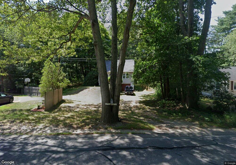
183 Parker St Unit A Maynard, MA 01754
Estimated Value: $496,000 - $576,000
3
Beds
1
Bath
966
Sq Ft
$561/Sq Ft
Est. Value
About This Home
This home is located at 183 Parker St Unit A, Maynard, MA 01754 and is currently estimated at $542,261, approximately $561 per square foot. 183 Parker St Unit A is a home located in Middlesex County with nearby schools including Green Meadow School, Fowler School, and Maynard High School.
Ownership History
Date
Name
Owned For
Owner Type
Purchase Details
Closed on
Jun 11, 1993
Sold by
Commercial Solutions
Bought by
Barry David J and Barry Shelly A
Current Estimated Value
Home Financials for this Owner
Home Financials are based on the most recent Mortgage that was taken out on this home.
Original Mortgage
$109,250
Interest Rate
7.41%
Mortgage Type
Purchase Money Mortgage
Create a Home Valuation Report for This Property
The Home Valuation Report is an in-depth analysis detailing your home's value as well as a comparison with similar homes in the area
Home Values in the Area
Average Home Value in this Area
Purchase History
We collect this data history from publicly available records. To have your information removed, we recommend requesting removal directly through your county’s website.
| Date | Buyer | Sale Price | Title Company |
|---|---|---|---|
| Barry David J | $115,000 | -- |
Source: Public Records
Mortgage History
We collect this data history from publicly available records. To have your information removed, we recommend requesting removal directly through your county’s website.
| Date | Status | Borrower | Loan Amount |
|---|---|---|---|
| Closed | Barry David J | $109,250 | |
| Previous Owner | Barry David J | $10,000 | |
| Previous Owner | Barry David J | $100,000 |
Source: Public Records
Tax History
| Year | Tax Paid | Tax Assessment Tax Assessment Total Assessment is a certain percentage of the fair market value that is determined by local assessors to be the total taxable value of land and additions on the property. | Land | Improvement |
|---|---|---|---|---|
| 2025 | $8,967 | $502,900 | $300,200 | $202,700 |
| 2024 | $8,484 | $474,500 | $286,100 | $188,400 |
| 2023 | $8,425 | $444,100 | $272,400 | $171,700 |
| 2022 | $8,009 | $390,300 | $229,200 | $161,100 |
| 2021 | $7,913 | $392,700 | $229,200 | $163,500 |
| 2020 | $7,783 | $377,100 | $207,600 | $169,500 |
| 2019 | $7,478 | $355,400 | $198,400 | $157,000 |
| 2018 | $6,955 | $307,200 | $180,600 | $126,600 |
| 2017 | $6,761 | $307,200 | $180,600 | $126,600 |
| 2016 | $6,715 | $316,000 | $180,600 | $135,400 |
Source: Public Records
Map
Nearby Homes
- 42 Ironworks Rd
- 355 Maynard Rd
- 167 Belcher Dr
- 64 Cudworth Ln
- 55 Widow Rites Ln
- 45 Webster Cir
- 48 Chanticleer Rd
- 17 Sunset Path
- 5 Harvard Dr
- 30 Harness Ln
- 9 Priest Rd
- 64 Parker St
- 16 Maybury Rd
- 4 Oak Ridge Dr Unit 6
- 419 Hudson Rd
- 26 Maplewood Ave
- 13 Arthur St Unit 15
- 51 Atkinson Ln
- 62 Waltham St
- 2 Dartmouth Ct Unit 2
Your Personal Tour Guide
Ask me questions while you tour the home.