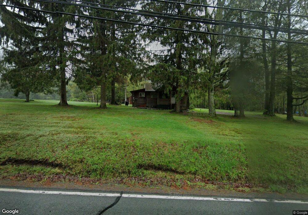
183 Route 390 Tafton, PA 18464
Estimated Value: $143,621 - $170,000
1
Bed
1
Bath
627
Sq Ft
$250/Sq Ft
Est. Value
About This Home
This home is located at 183 Route 390, Tafton, PA 18464 and is currently estimated at $156,811, approximately $250 per square foot. 183 Route 390 is a home with nearby schools including Wallenpaupack Area High School and Son-Shine Christian School.
Ownership History
Date
Name
Owned For
Owner Type
Purchase Details
Closed on
Dec 9, 2019
Sold by
Davis Linda S
Bought by
Miller Larry
Current Estimated Value
Home Financials for this Owner
Home Financials are based on the most recent Mortgage that was taken out on this home.
Original Mortgage
$88,175
Interest Rate
3.7%
Mortgage Type
Seller Take Back
Purchase Details
Closed on
Jun 28, 2019
Sold by
Davis Linda S
Bought by
Estate Of Sharon S Robinson
Create a Home Valuation Report for This Property
The Home Valuation Report is an in-depth analysis detailing your home's value as well as a comparison with similar homes in the area
Home Values in the Area
Average Home Value in this Area
Purchase History
| Date | Buyer | Sale Price | Title Company |
|---|---|---|---|
| Miller Larry | $67,452 | None Available | |
| Davis Linda S | -- | None Available | |
| Estate Of Sharon S Robinson | -- | None Available |
Source: Public Records
Mortgage History
| Date | Status | Borrower | Loan Amount |
|---|---|---|---|
| Closed | Miller Larry | $88,175 |
Source: Public Records
Tax History Compared to Growth
Tax History
| Year | Tax Paid | Tax Assessment Tax Assessment Total Assessment is a certain percentage of the fair market value that is determined by local assessors to be the total taxable value of land and additions on the property. | Land | Improvement |
|---|---|---|---|---|
| 2025 | $1,228 | $11,000 | $4,030 | $6,970 |
| 2024 | $1,228 | $11,000 | $4,030 | $6,970 |
| 2023 | $1,182 | $11,000 | $4,030 | $6,970 |
| 2022 | $1,154 | $11,000 | $4,030 | $6,970 |
| 2021 | $1,367 | $13,410 | $6,440 | $6,970 |
| 2020 | $1,367 | $13,410 | $6,440 | $6,970 |
| 2019 | $1,333 | $13,510 | $6,460 | $7,050 |
| 2018 | $1,297 | $13,510 | $6,460 | $7,050 |
| 2017 | $1,249 | $13,510 | $6,460 | $7,050 |
| 2016 | $0 | $13,510 | $6,460 | $7,050 |
| 2014 | -- | $13,510 | $6,460 | $7,050 |
Source: Public Records
Map
Nearby Homes
- 717 Paper Birch N
- Lot 762 Mountain Snow Cir
- 763764 Mountain Snow Cir
- 763/764 Mountain Snow Cir
- 225 Pennsylvania 390
- 0 Chamonix Ln
- 126 Koch Rd
- 217 Upper Park Rd
- 688 Elk Mountain Terrace
- 104 Steamboat Springs Ln
- 138 Tuckermans Ravine
- 182 Soose Way
- Lot 726 Paper Birch N
- 0 Paper Birch Rd N
- 115 Dirk Rd
- Lot 45 Soose Way
- 128 Copper Mountain Dr
- 0 Pennsylvania 507
- 143 Marquise Dr
- Lot 810 Tuckerman Ln E
- 101 Meadowbrook Rd
- 190 Route 390
- 100 Meadowbrook Rd
- 107 Meadowbrook Rd
- 173 Pennsylvania 390
- 106 Meadowbrook Rd
- 173 Route 390
- 190 Pennsylvania 390
- 103 Paper Birch N
- 713 Paper Birch N
- 711 Paper Birch Rd N
- 111 Meadowbrook Rd
- 112 Meadowbrook Rd
- 109 Paper Birch N
- 517 Paper Birch N
- 539 Paper Birch Rd N
- 100 Paper Birch N
- 115 Meadowbrook Rd
- 167 Route 390
- 113 Paper Birch N