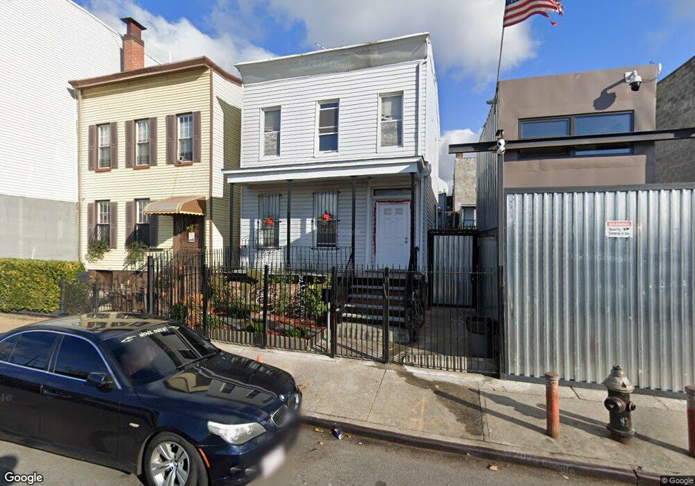
183 Sheffield Ave Unit 187 Brooklyn, NY 11207
Brownsville NeighborhoodEstimated Value: $552,000 - $771,000
--
Bed
2
Baths
1,200
Sq Ft
$520/Sq Ft
Est. Value
About This Home
This home is located at 183 Sheffield Ave Unit 187, Brooklyn, NY 11207 and is currently estimated at $624,598, approximately $520 per square foot. 183 Sheffield Ave Unit 187 is a home located in Kings County with nearby schools including J.H.S 292 Margaret S. Douglas, Hyde Leadership Charter School-Brooklyn, and Uncommon Schools Leadership Preparatory Ocean Hill Charter School.
Ownership History
Date
Name
Owned For
Owner Type
Purchase Details
Closed on
Jan 3, 2022
Sold by
Torres Jose P
Bought by
Marin Trustee Marisol and Torres Trust, Dated November 29, 2021
Current Estimated Value
Purchase Details
Closed on
Oct 28, 2021
Sold by
Santiago Yolanda
Bought by
Torres Jose P
Home Financials for this Owner
Home Financials are based on the most recent Mortgage that was taken out on this home.
Original Mortgage
$399,200
Interest Rate
2.88%
Mortgage Type
Purchase Money Mortgage
Create a Home Valuation Report for This Property
The Home Valuation Report is an in-depth analysis detailing your home's value as well as a comparison with similar homes in the area
Home Values in the Area
Average Home Value in this Area
Purchase History
| Date | Buyer | Sale Price | Title Company |
|---|---|---|---|
| Marin Trustee Marisol | -- | -- | |
| Torres Jose P | $499,000 | -- |
Source: Public Records
Mortgage History
| Date | Status | Borrower | Loan Amount |
|---|---|---|---|
| Previous Owner | Torres Jose P | $399,200 |
Source: Public Records
Tax History Compared to Growth
Tax History
| Year | Tax Paid | Tax Assessment Tax Assessment Total Assessment is a certain percentage of the fair market value that is determined by local assessors to be the total taxable value of land and additions on the property. | Land | Improvement |
|---|---|---|---|---|
| 2025 | $1,662 | $35,340 | $15,360 | $19,980 |
| 2024 | $1,662 | $27,900 | $15,360 | $12,540 |
| 2023 | $1,586 | $32,280 | $15,360 | $16,920 |
| 2022 | $1,213 | $33,180 | $15,360 | $17,820 |
| 2021 | $1,174 | $35,700 | $15,360 | $20,340 |
| 2020 | $880 | $29,820 | $15,360 | $14,460 |
| 2019 | $428 | $29,880 | $15,360 | $14,520 |
| 2018 | $365 | $6,506 | $2,780 | $3,726 |
| 2017 | $954 | $6,148 | $3,905 | $2,243 |
| 2016 | $854 | $5,820 | $4,294 | $1,526 |
| 2015 | $480 | $5,820 | $3,706 | $2,114 |
| 2014 | $480 | $5,746 | $3,922 | $1,824 |
Source: Public Records
Map
Nearby Homes
- 34&36 Marginal St
- 297 Pennsylvania Ave
- 243 Wyona St
- 317 Pennsylvania Ave
- 45 Hinsdale St
- 459 Belmont Ave
- 663 Sutter Ave
- 667 Sutter Ave
- 159 Wyona St
- 207 Bradford St
- 342 Wyona St
- 353 Pennsylvania Ave
- 22 Hinsdale St
- 444 New Jersey Ave
- 2210 Pitkin Ave
- 637 Blake Ave
- 90 Wyona St
- 439 Vermont St
- 297 Hinsdale St
- 279 van Siclen Ave
- 183 Sheffield Ave
- 187 Sheffield Ave
- 181 Sheffield Ave
- 189 Sheffield Ave
- 177 Sheffield Ave
- 193 Sheffield Ave
- 202 Pennsylvania Ave
- 200 Pennsylvania Ave
- 196 Pennsylvania Ave
- 195 Sheffield Ave
- 197 Sheffield Ave
- 206 Pennsylvania Ave
- 204 Pennsylvania Ave
- 205 Sheffield Ave
- 208 Pennsylvania Ave
- 203 Sheffield Ave
- 184 Sheffield Ave
- 182 Sheffield Ave
- 199 Sheffield Ave
- 210 Pennsylvania Ave