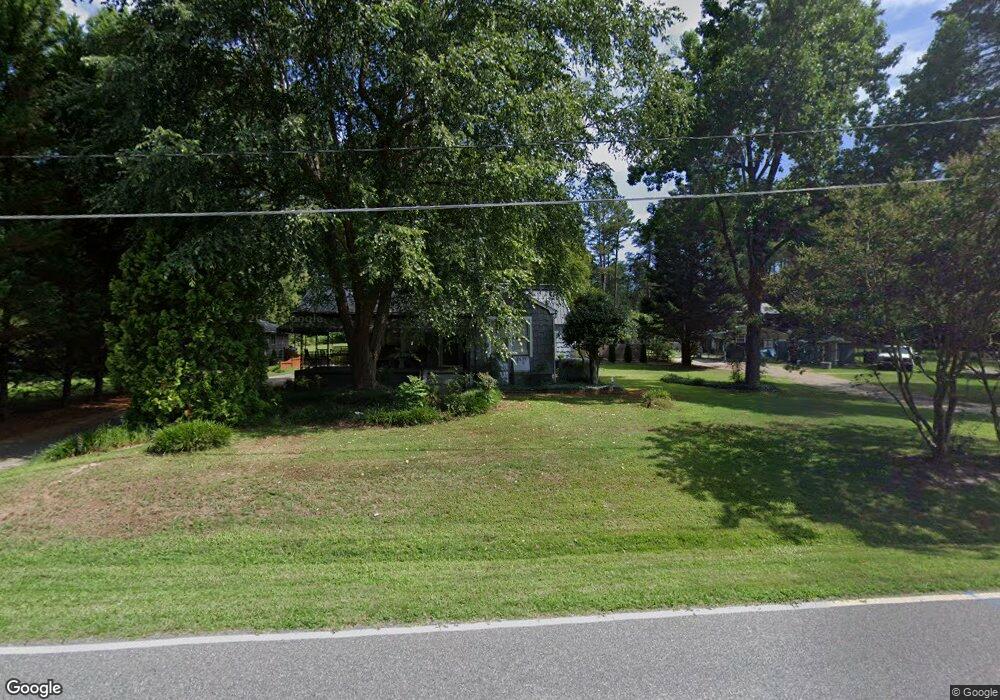
183 Wayside Dr Winston Salem, NC 27107
Estimated Value: $217,000 - $302,000
8
Beds
6
Baths
4,108
Sq Ft
$63/Sq Ft
Est. Value
About This Home
This home is located at 183 Wayside Dr, Winston Salem, NC 27107 and is currently estimated at $256,841, approximately $62 per square foot. 183 Wayside Dr is a home located in Forsyth County with nearby schools including Hall-Woodward Elementary School, Southeast Middle School, and R.B. Glenn High School.
Ownership History
Date
Name
Owned For
Owner Type
Purchase Details
Closed on
Oct 29, 2021
Sold by
Berard Hedrick Janine Elizabeth and Hedrick John C
Bought by
Hedrick John C
Current Estimated Value
Home Financials for this Owner
Home Financials are based on the most recent Mortgage that was taken out on this home.
Original Mortgage
$123,100
Outstanding Balance
$94,679
Interest Rate
2.15%
Mortgage Type
New Conventional
Estimated Equity
$162,162
Purchase Details
Closed on
Apr 15, 2004
Sold by
Manring Terry L and Manring Kimberly P
Bought by
Hedrick John C and Hedrick Elisa D
Home Financials for this Owner
Home Financials are based on the most recent Mortgage that was taken out on this home.
Original Mortgage
$122,510
Interest Rate
5.54%
Mortgage Type
FHA
Create a Home Valuation Report for This Property
The Home Valuation Report is an in-depth analysis detailing your home's value as well as a comparison with similar homes in the area
Home Values in the Area
Average Home Value in this Area
Purchase History
| Date | Buyer | Sale Price | Title Company |
|---|---|---|---|
| Hedrick John C | -- | First American Title Company | |
| Hedrick John C | $130,000 | -- |
Source: Public Records
Mortgage History
| Date | Status | Borrower | Loan Amount |
|---|---|---|---|
| Open | Hedrick John C | $123,100 | |
| Closed | Hedrick John C | $122,510 |
Source: Public Records
Tax History Compared to Growth
Tax History
| Year | Tax Paid | Tax Assessment Tax Assessment Total Assessment is a certain percentage of the fair market value that is determined by local assessors to be the total taxable value of land and additions on the property. | Land | Improvement |
|---|---|---|---|---|
| 2025 | $1,703 | $316,900 | $28,500 | $288,400 |
| 2024 | $1,625 | $121,400 | $17,500 | $103,900 |
| 2023 | $1,625 | $121,400 | $17,500 | $103,900 |
| 2022 | $1,595 | $121,400 | $17,500 | $103,900 |
| 2021 | $1,525 | $118,200 | $17,500 | $100,700 |
| 2020 | $1,570 | $113,700 | $16,000 | $97,700 |
| 2019 | $1,581 | $113,700 | $16,000 | $97,700 |
| 2018 | $1,502 | $113,700 | $16,000 | $97,700 |
| 2016 | $1,263 | $96,018 | $9,600 | $86,418 |
| 2015 | $1,244 | $96,018 | $9,600 | $86,418 |
| 2014 | $1,207 | $96,018 | $9,600 | $86,418 |
Source: Public Records
Map
Nearby Homes
- 3514 Landis St SE
- 3520 Landis St SE
- 3532 Landis St SE
- 3538 Landis St SE
- 3544 Landis St SE
- 3422 Robindale Dr
- 3428 Robindale Dr
- 3435 Robindale Dr
- 421 Robindale Ct
- 3441 Robindale Dr
- 3458 Robindale Dr
- 3447 Robindale Dr
- 3453 Robindale Dr
- 3471 Robindale Dr
- 3598 Robindale Dr
- 137 Vogler Dr
- 301 Bedford Park Dr
- Ashe Plan at Robindale
- Erie Plan at Robindale
- Camden Plan at Robindale
- 181 Wayside Dr
- 173 Wayside Dr
- 176 Wayside Dr
- 147 Wayside Dr
- 160 Wayside Dr
- 3800 Thornaby Cir
- 347 Wayside Dr
- 3810 Thornaby Cir
- 3790 Thornaby Cir
- 3790 Thornaby Cir Unit 47
- 3526 Landis St SE
- 224 Wayside Dr
- 144 Wayside Dr
- 3780 Thornaby Cir
- 306 Wayside Dr
- 3820 Thornaby Cir
- 139 Wayside Dr
- 3770 Thornaby Cir
- 311 Wayside Dr
- 220 Taunton Dr