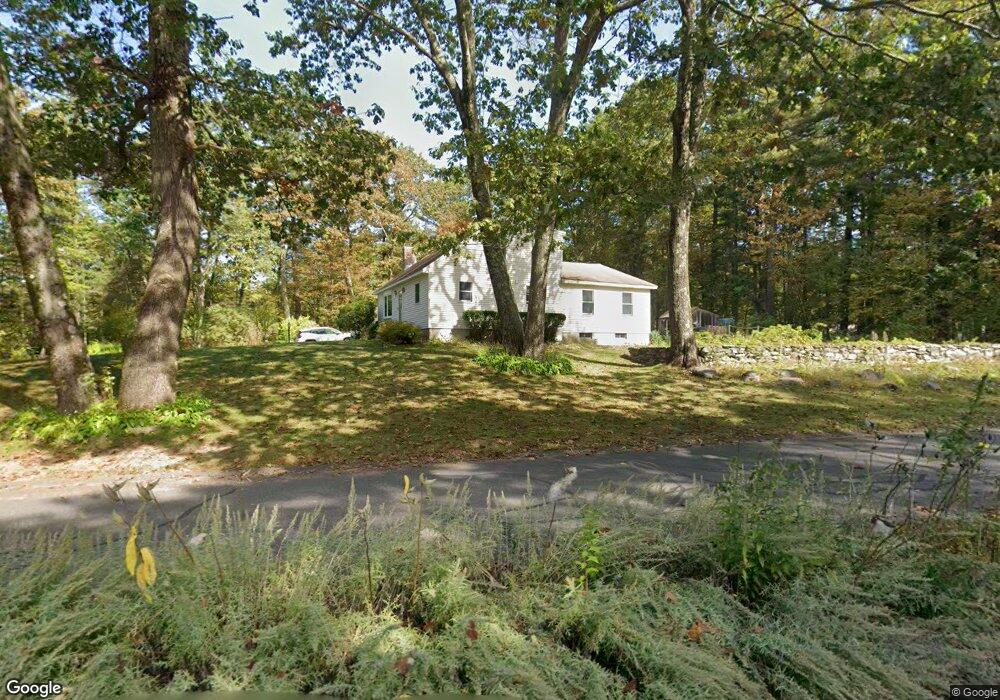
183 Worcester Rd Princeton, MA 01541
Estimated Value: $541,755 - $588,000
3
Beds
2
Baths
1,640
Sq Ft
$340/Sq Ft
Est. Value
About This Home
This home is located at 183 Worcester Rd, Princeton, MA 01541 and is currently estimated at $557,439, approximately $339 per square foot. 183 Worcester Rd is a home located in Worcester County with nearby schools including Wachusett Regional High School.
Ownership History
Date
Name
Owned For
Owner Type
Purchase Details
Closed on
Jun 26, 2018
Sold by
Eramo David and Eramo Denise
Bought by
Eramo David
Current Estimated Value
Purchase Details
Closed on
Sep 15, 1997
Sold by
Halloran James A and Halloran Cynthia
Bought by
Eramo David and Eramo Denise
Home Financials for this Owner
Home Financials are based on the most recent Mortgage that was taken out on this home.
Original Mortgage
$110,000
Interest Rate
7.31%
Mortgage Type
Purchase Money Mortgage
Purchase Details
Closed on
Oct 23, 1991
Sold by
Smith Craig C and Smith Cynthia
Bought by
Halloran James and Halloran Cynthia
Create a Home Valuation Report for This Property
The Home Valuation Report is an in-depth analysis detailing your home's value as well as a comparison with similar homes in the area
Home Values in the Area
Average Home Value in this Area
Purchase History
| Date | Buyer | Sale Price | Title Company |
|---|---|---|---|
| Eramo David | -- | -- | |
| Eramo David | $146,900 | -- | |
| Halloran James | $129,500 | -- |
Source: Public Records
Mortgage History
| Date | Status | Borrower | Loan Amount |
|---|---|---|---|
| Previous Owner | Halloran James | $121,000 | |
| Previous Owner | Halloran James | $121,500 | |
| Previous Owner | Halloran James | $110,000 |
Source: Public Records
Tax History
| Year | Tax Paid | Tax Assessment Tax Assessment Total Assessment is a certain percentage of the fair market value that is determined by local assessors to be the total taxable value of land and additions on the property. | Land | Improvement |
|---|---|---|---|---|
| 2025 | $6,287 | $432,700 | $126,500 | $306,200 |
| 2024 | $5,918 | $421,800 | $124,200 | $297,600 |
| 2023 | $5,649 | $373,100 | $99,100 | $274,000 |
| 2022 | $5,406 | $344,800 | $99,100 | $245,700 |
| 2021 | $5,237 | $324,900 | $99,100 | $225,800 |
| 2020 | $5,077 | $320,300 | $99,100 | $221,200 |
| 2019 | $5,045 | $314,900 | $96,100 | $218,800 |
| 2018 | $4,977 | $288,000 | $79,400 | $208,600 |
| 2017 | $3,936 | $221,400 | $116,900 | $104,500 |
| 2016 | $3,941 | $221,400 | $116,900 | $104,500 |
| 2015 | $3,773 | $218,100 | $119,000 | $99,100 |
Source: Public Records
Map
Nearby Homes
- 9 Stagecoach Rd
- 100 Brooks Station Rd
- 19 Hubbardston Rd
- 20 Mountain Rd
- 13 Goodnow Rd
- 376 Elmwood Ave
- 56 Hubbardston Rd
- 147 E County Rd Unit 149
- 134 Mountain Rd
- 139 E County Rd Unit 139
- 0 North St
- 569 E County Rd
- 386 Redemption Rock Trail
- 287 Laurel St
- 30 Duxbury Dr
- 129 Quinapoxet St
- 45 Old Colony Rd
- 35 Laurel Hill Ln
- 64 Rivington Dr
- 40 Princeton St
- 179 Worcester Rd
- 2 Sharon Dr
- 3 Pinewood Dr
- 187 Worcester Rd
- 5 Pinewood Dr
- 177 Worcester Rd
- 8 Sharon Dr
- 184 Worcester Rd
- Lot 26 Pinewood Dr
- 191 Worcester Rd
- 11 Sharon Dr
- 6 Pinewood Dr
- 12 Sharon Dr
- 0 End of Sharon Dr
- 171 Worcester Rd
- 194 Worcester Rd
- 197 Worcester Rd
- 10 Pinewood Dr
- 16 Sharon Dr
- 1 Redwood Dr
Your Personal Tour Guide
Ask me questions while you tour the home.