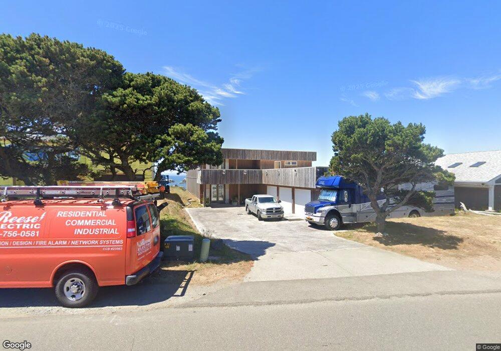
1830 Beach Loop Dr SW Bandon, OR 97411
Estimated Value: $1,496,182
3
Beds
4
Baths
3,990
Sq Ft
$375/Sq Ft
Est. Value
About This Home
This home is located at 1830 Beach Loop Dr SW, Bandon, OR 97411 and is currently estimated at $1,496,182, approximately $374 per square foot. 1830 Beach Loop Dr SW is a home located in Coos County with nearby schools including Ocean Crest Elementary School, Harbor Lights Middle School, and Bandon Senior High School.
Ownership History
Date
Name
Owned For
Owner Type
Purchase Details
Closed on
Aug 31, 2004
Sold by
Minnewashta Development
Bought by
Deatherage James F
Current Estimated Value
Home Financials for this Owner
Home Financials are based on the most recent Mortgage that was taken out on this home.
Original Mortgage
$495,000
Interest Rate
6.06%
Mortgage Type
Seller Take Back
Create a Home Valuation Report for This Property
The Home Valuation Report is an in-depth analysis detailing your home's value as well as a comparison with similar homes in the area
Home Values in the Area
Average Home Value in this Area
Purchase History
| Date | Buyer | Sale Price | Title Company |
|---|---|---|---|
| Deatherage James F | $585,000 | Fidelity National Title Co |
Source: Public Records
Mortgage History
| Date | Status | Borrower | Loan Amount |
|---|---|---|---|
| Closed | Deatherage James F | $495,000 |
Source: Public Records
Tax History Compared to Growth
Tax History
| Year | Tax Paid | Tax Assessment Tax Assessment Total Assessment is a certain percentage of the fair market value that is determined by local assessors to be the total taxable value of land and additions on the property. | Land | Improvement |
|---|---|---|---|---|
| 2025 | $10,010 | $908,580 | -- | -- |
| 2024 | $9,902 | $882,120 | -- | -- |
| 2023 | $9,643 | $856,430 | $0 | $0 |
| 2022 | $9,681 | $831,490 | $0 | $0 |
| 2021 | $9,302 | $807,280 | $0 | $0 |
| 2020 | $8,445 | $807,280 | $0 | $0 |
| 2019 | $8,418 | $760,950 | $0 | $0 |
| 2018 | $7,916 | $738,790 | $0 | $0 |
| 2017 | $7,965 | $738,790 | $0 | $0 |
| 2016 | $7,719 | $717,280 | $0 | $0 |
| 2015 | $7,285 | $696,390 | $0 | $0 |
| 2014 | $7,285 | $676,110 | $0 | $0 |
Source: Public Records
Map
Nearby Homes
- 1950 Beach Loop Dr SW
- 1312 Village Loop
- 2131 Beach Loop Dr SW
- 1575 Beach Loop Dr SW
- 1313 Village Loop
- 1323 Village Loop
- 0 Beach Loop Dr SW Unit 201837812
- 2485 Beach Loop Rd
- 0 Whale Watch Way Unit 602 722957860
- 2778 Colony Cir
- 2732 Lincoln Ave SW Unit 500
- 875 12th St SW
- 00 Harrison Ave Lot B
- 2710 Lincoln Ave SW Unit 200
- 937 Carter St SW
- 2732 Lincoln Ave Unit 500&200
- 2776 Lincoln Ave
- 2669 Cedar Loop
- 835 SW 11th
- 2653 Spinnaker Dr
- 1860 Beach Loop Dr SW
- 1812 Beach Loop Dr SW
- 1880 Beach Loop Dr SW
- 1860 Beach Loop Rd
- 1880 Beach Loop Rd
- 1930 Beach Loop Dr SW
- 1760 Beach Loop Dr SW
- 1865 Beach Loop Rd
- 1940 Beach Loop Dr SW
- 1740 Beach Loop Dr SW
- 1946 Beach Loop Dr SW
- 1720 Beach Loop Dr SW
- 1700 Beach Loop Dr SW
- 1660 Beach Loop Dr SW
- 1396 Face Rock Rd
- 1980 Beach Loop Dr SW
- 1977 Beach Loop Dr SW
- 1388 Face Rock Dr
- 1640 Beach Loop Dr SW
- 1650 Beach Loop Dr SW