1830 Main St Unit 54 Tewksbury, MA 01876
Estimated Value: $459,000 - $470,000
2
Beds
3
Baths
1,198
Sq Ft
$387/Sq Ft
Est. Value
About This Home
This home is located at 1830 Main St Unit 54, Tewksbury, MA 01876 and is currently estimated at $464,121, approximately $387 per square foot. 1830 Main St Unit 54 is a home located in Middlesex County with nearby schools including John W. Wynn Middle School, John F. Ryan Elementary School, and Tewksbury Memorial High School.
Ownership History
Date
Name
Owned For
Owner Type
Purchase Details
Closed on
Mar 29, 2007
Sold by
Roderick David P
Bought by
Vetrano Pamela A
Current Estimated Value
Home Financials for this Owner
Home Financials are based on the most recent Mortgage that was taken out on this home.
Original Mortgage
$179,625
Interest Rate
6.33%
Mortgage Type
Purchase Money Mortgage
Purchase Details
Closed on
Feb 27, 2001
Sold by
Turri David A and Turri Brenda L
Bought by
Roderick David P
Home Financials for this Owner
Home Financials are based on the most recent Mortgage that was taken out on this home.
Original Mortgage
$161,400
Interest Rate
6.89%
Mortgage Type
Purchase Money Mortgage
Purchase Details
Closed on
Nov 18, 1991
Sold by
S B K R Inc
Bought by
Turri David A and Brenda L Riessle
Home Financials for this Owner
Home Financials are based on the most recent Mortgage that was taken out on this home.
Original Mortgage
$82,260
Interest Rate
8.8%
Mortgage Type
Purchase Money Mortgage
Create a Home Valuation Report for This Property
The Home Valuation Report is an in-depth analysis detailing your home's value as well as a comparison with similar homes in the area
Home Values in the Area
Average Home Value in this Area
Purchase History
| Date | Buyer | Sale Price | Title Company |
|---|---|---|---|
| Vetrano Pamela A | $239,500 | -- | |
| Roderick David P | $169,900 | -- | |
| Turri David A | $91,400 | -- |
Source: Public Records
Mortgage History
| Date | Status | Borrower | Loan Amount |
|---|---|---|---|
| Open | Turri David A | $185,000 | |
| Closed | Vetrano Pamela A | $179,625 | |
| Previous Owner | Turri David A | $162,000 | |
| Previous Owner | Turri David A | $161,400 | |
| Previous Owner | Turri David A | $82,260 |
Source: Public Records
Tax History Compared to Growth
Tax History
| Year | Tax Paid | Tax Assessment Tax Assessment Total Assessment is a certain percentage of the fair market value that is determined by local assessors to be the total taxable value of land and additions on the property. | Land | Improvement |
|---|---|---|---|---|
| 2025 | $5,550 | $419,800 | $0 | $419,800 |
| 2024 | $5,194 | $387,900 | $0 | $387,900 |
| 2023 | $4,807 | $340,900 | $0 | $340,900 |
| 2022 | $4,824 | $317,400 | $0 | $317,400 |
| 2021 | $4,729 | $300,800 | $0 | $300,800 |
| 2020 | $4,488 | $281,000 | $0 | $281,000 |
| 2019 | $3,762 | $237,500 | $0 | $237,500 |
| 2018 | $3,545 | $219,800 | $0 | $219,800 |
| 2017 | $3,267 | $200,300 | $0 | $200,300 |
| 2016 | $3,226 | $197,300 | $0 | $197,300 |
| 2015 | $2,893 | $176,700 | $0 | $176,700 |
| 2014 | $2,897 | $179,800 | $0 | $179,800 |
Source: Public Records
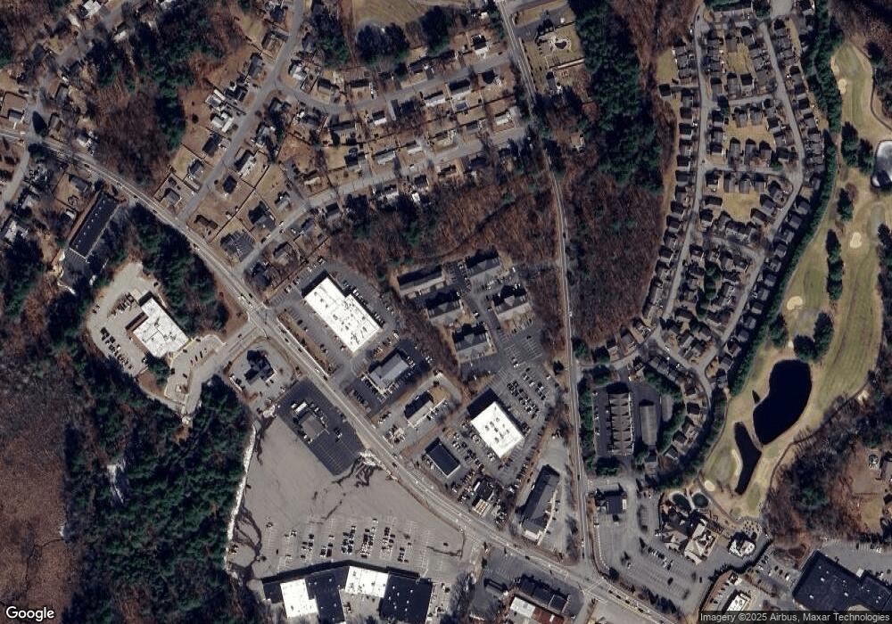
Map
Nearby Homes
- 16 Eagle Dr
- 93 Fairway Dr
- 127 Caddy Ct
- 14 Hinckley Rd
- 6 Stonebury Way Unit 6
- 7 Wamesit Rd
- 906 Old Shawsheen St
- 70 Ronald Dr
- 261 Apache Way
- 640 South St
- 142 Patrick Rd
- 111 Patrick Rd Unit 111
- 71 Apache Way Unit 71
- 610 South St
- 1455 Main St Unit 8
- 1455 Main St Unit 4
- 1455 Main St Unit 10
- 1418 Main St Unit 201
- 72 Patrick Rd Unit 72
- 109 Apache Way
- 1830 Main St Unit 55
- 1830 Main St Unit 53
- 1830 Main St Unit 52
- 1830 Main St Unit 51
- 1830 Main St Unit 50
- 1830 Main St Unit 49
- 1830 Main St Unit 48
- 1830 Main St Unit 47
- 1830 Main St Unit 46
- 1830 Main St Unit 45
- 1830 Main St Unit 44
- 1830 Main St Unit 43
- 1830 Main St Unit 42
- 1830 Main St Unit 41
- 1830 Main St Unit 40
- 1830 Main St Unit 39
- 1830 Main St Unit 38
- 1830 Main St Unit 37
- 1830 Main St Unit 36
- 1830 Main St Unit 35