1830 Manchester Way Unit G2 Myrtle Beach, SC 29575
South Myrtle Beach NeighborhoodEstimated Value: $338,687 - $348,000
3
Beds
2
Baths
1,776
Sq Ft
$193/Sq Ft
Est. Value
About This Home
This home is located at 1830 Manchester Way Unit G2, Myrtle Beach, SC 29575 and is currently estimated at $342,172, approximately $192 per square foot. 1830 Manchester Way Unit G2 is a home located in Horry County with nearby schools including Lakewood Elementary, Socastee Middle, and Socastee High School.
Ownership History
Date
Name
Owned For
Owner Type
Purchase Details
Closed on
Nov 6, 2007
Sold by
Schuster Gary B
Bought by
Ernst Carol Ann and Ernst Richard
Current Estimated Value
Purchase Details
Closed on
Nov 6, 2000
Sold by
Seacoast Properties Inc
Bought by
Schuster Gary B
Home Financials for this Owner
Home Financials are based on the most recent Mortgage that was taken out on this home.
Original Mortgage
$159,190
Interest Rate
7.83%
Mortgage Type
Purchase Money Mortgage
Create a Home Valuation Report for This Property
The Home Valuation Report is an in-depth analysis detailing your home's value as well as a comparison with similar homes in the area
Home Values in the Area
Average Home Value in this Area
Purchase History
| Date | Buyer | Sale Price | Title Company |
|---|---|---|---|
| Ernst Carol Ann | $252,500 | None Available | |
| Schuster Gary B | $198,988 | -- |
Source: Public Records
Mortgage History
| Date | Status | Borrower | Loan Amount |
|---|---|---|---|
| Previous Owner | Schuster Gary B | $159,190 |
Source: Public Records
Tax History Compared to Growth
Tax History
| Year | Tax Paid | Tax Assessment Tax Assessment Total Assessment is a certain percentage of the fair market value that is determined by local assessors to be the total taxable value of land and additions on the property. | Land | Improvement |
|---|---|---|---|---|
| 2024 | -- | $18,774 | $0 | $18,774 |
| 2023 | $0 | $21,525 | $0 | $21,525 |
| 2021 | $676 | $21,525 | $0 | $21,525 |
| 2020 | $584 | $21,525 | $0 | $21,525 |
| 2019 | $584 | $21,525 | $0 | $21,525 |
| 2018 | $517 | $19,110 | $0 | $19,110 |
| 2017 | $502 | $19,110 | $0 | $19,110 |
| 2016 | -- | $19,110 | $0 | $19,110 |
| 2015 | $502 | $7,280 | $0 | $7,280 |
| 2014 | $464 | $7,280 | $0 | $7,280 |
Source: Public Records
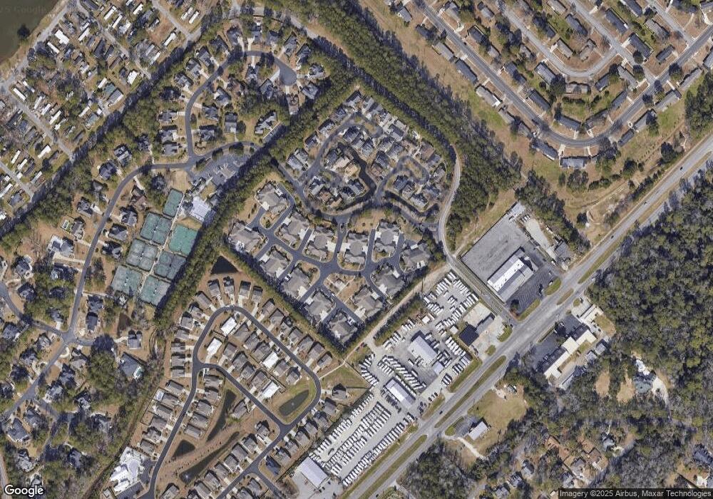
Map
Nearby Homes
- 2019 Balfour Ct Unit L-4
- 183 Coral Beach Cir
- 4811 S Kings Hwy
- 5036 S Kings Hwy Unit 5036
- 1517 Pisces Ln
- 4907 Woodview Ln
- 5308 S Kings Hwy Unit 5308
- 324 Saint Catherine Bay Ct
- 3766 Spruce Dr Unit 3766
- 4909 Yaupon Cir
- 539 Redwood Ave Unit 539
- 361 Saint Catherine Bay Ct Unit 361
- 3645 Cypress Cir Unit 3645
- 2737 Capricorn Dr
- 2700 Capricorn Dr
- 2705 Capricorn Dr
- 645 Hemlock Ave Unit 645
- 5211 S Kings Hwy Unit 5211
- 1615 S Ocean Blvd Unit 4
- 512B S Ocean Blvd
- 2000 Rimsdale Dr Unit G3
- 1828 Manchester Way Unit G1 Manchester P
- 1828 Manchester Way Unit G1
- 1828 Manchester Way Unit G1 Manchester Place
- 1828 Manchester Way Unit G1
- 2004 Rimsdale Dr Unit G4
- 1920 Rimsdale Dr Unit E2
- 2008 Rimsdale Dr Unit H1
- 2008 Rimsdale Dr Unit H-2
- 1829 Rimsdale Dr Unit E-4
- 1831 Manchester Way Unit E3
- 1829 Manchester Way
- 1829 Manchester Way Unit E-4
- 2012 Rimsdale Dr Unit 2012 Rimsdale Dr.
- 2012 Rimsdale Dr Unit H2
- 1604 Sunning Dale Ct
- 2020 Rimsdale Dr Unit H4
- 2020 Rimsdale Dr Unit MANCHESTER PLACE / P
- 2020 Rimsdale Dr Unit H3
- 1602 Sunning Dale Ct