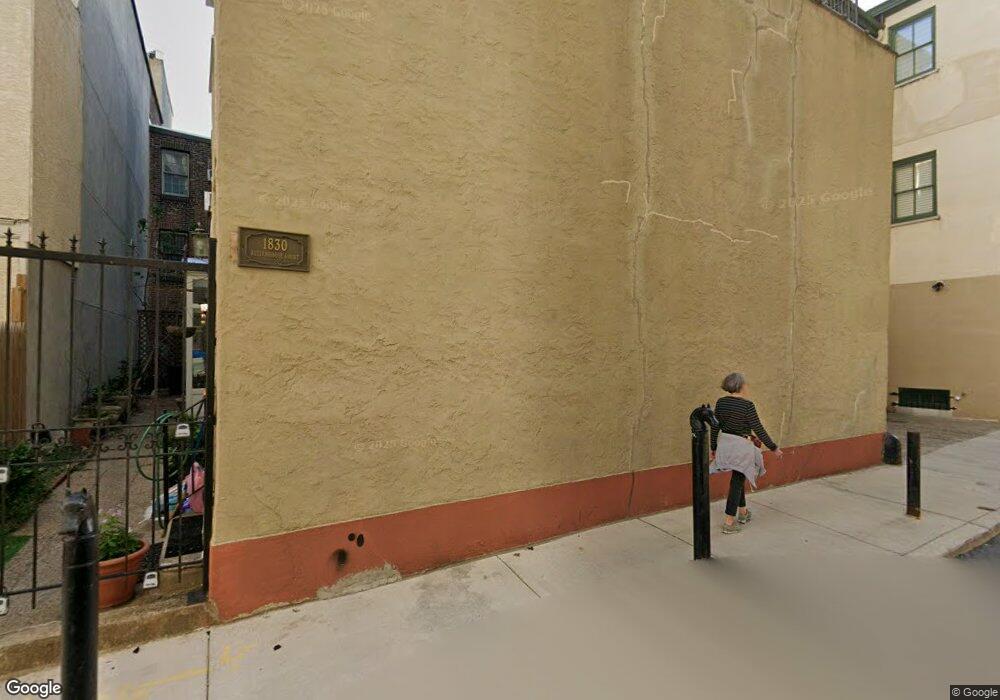
1830 Manning St Unit 2 Philadelphia, PA 19103
Rittenhouse Square NeighborhoodEstimated Value: $571,535 - $749,000
2
Beds
2
Baths
880
Sq Ft
$708/Sq Ft
Est. Value
About This Home
This home is located at 1830 Manning St Unit 2, Philadelphia, PA 19103 and is currently estimated at $622,884, approximately $707 per square foot. 1830 Manning St Unit 2 is a home located in Philadelphia County with nearby schools including Albert M Greenfield School, Benjamin Franklin High School, and Russell Byers Charter School.
Ownership History
Date
Name
Owned For
Owner Type
Purchase Details
Closed on
Jul 24, 2013
Sold by
Ashburn Katie
Bought by
Lieber Robert T and Lieber Eileen B
Current Estimated Value
Home Financials for this Owner
Home Financials are based on the most recent Mortgage that was taken out on this home.
Original Mortgage
$306,400
Outstanding Balance
$227,707
Interest Rate
4.45%
Mortgage Type
New Conventional
Estimated Equity
$395,177
Purchase Details
Closed on
Oct 17, 2011
Sold by
Ashburn Katie
Bought by
Ashburn Katie
Purchase Details
Closed on
Jun 2, 1999
Sold by
Stpeter Donald M and Stpeter Steven
Bought by
Chercass Wendy L
Purchase Details
Closed on
Feb 28, 1997
Sold by
Vanarke Megan L and Jones Megan L
Bought by
Stpeter Steven and Stpeter Donald M
Create a Home Valuation Report for This Property
The Home Valuation Report is an in-depth analysis detailing your home's value as well as a comparison with similar homes in the area
Home Values in the Area
Average Home Value in this Area
Purchase History
| Date | Buyer | Sale Price | Title Company |
|---|---|---|---|
| Lieber Robert T | $383,000 | None Available | |
| Ashburn Katie | -- | None Available | |
| Chercass Wendy L | $129,900 | -- | |
| Stpeter Steven | $94,120 | -- |
Source: Public Records
Mortgage History
| Date | Status | Borrower | Loan Amount |
|---|---|---|---|
| Open | Lieber Robert T | $306,400 |
Source: Public Records
Tax History Compared to Growth
Tax History
| Year | Tax Paid | Tax Assessment Tax Assessment Total Assessment is a certain percentage of the fair market value that is determined by local assessors to be the total taxable value of land and additions on the property. | Land | Improvement |
|---|---|---|---|---|
| 2025 | $7,241 | $626,700 | $125,340 | $501,360 |
| 2024 | $7,241 | $626,700 | $125,340 | $501,360 |
| 2023 | $7,241 | $517,300 | $103,460 | $413,840 |
| 2022 | $5,536 | $517,300 | $103,460 | $413,840 |
| 2021 | $5,536 | $0 | $0 | $0 |
| 2020 | $5,536 | $0 | $0 | $0 |
| 2019 | $5,358 | $0 | $0 | $0 |
| 2018 | $4,765 | $0 | $0 | $0 |
| 2017 | $4,765 | $0 | $0 | $0 |
| 2016 | $4,765 | $0 | $0 | $0 |
| 2015 | $4,561 | $0 | $0 | $0 |
| 2014 | -- | $340,400 | $29,082 | $311,318 |
| 2012 | -- | $30,976 | $5,531 | $25,445 |
Source: Public Records
Map
Nearby Homes
- 1806-18 Rittenhouse Square Unit 1906-07
- 1806 Rittenhouse Square Unit 1605
- 1810 18 Rittenhouse Square Unit 803
- 1810 18 Rittenhouse Square Unit 2005
- 1810 Rittenhouse Square Unit 1106
- 1806 18 Rittenhouse Square Unit 2009
- 1800 Rittenhouse Square Unit 1101
- 1800 Rittenhouse Square Unit 902
- 1820 00 Rittenhouse Square Unit 1601
- 1820 Rittenhouse Square Unit 1802
- 1805 Spruce St
- 1830 Rittenhouse Square Unit 1C
- 1830 Rittenhouse Square Unit 12C AND 12D
- 1830 Rittenhouse Square Unit 1E
- 1830 Rittenhouse Square Unit 17B
- 1830 Rittenhouse Square Unit 3AB
- 1831 Mutli-Unit Spruce St
- 1833 Spruce St
- 275 S 19th St Unit PENTHOUSE
- 237 47 S 18th St Unit 20A
- 1830 Manning St Unit 32
- 1830 Manning St Unit 2
- 1830 Manning St Unit 1
- 1830 Manning St
- 1829 Spruce St
- 1829 Spruce St Unit 1R
- 1829 2R Spruce St Unit 2F
- 1829 2F Spruce St Unit 2F
- 1831 Spruce St Unit 1
- 1831 Spruce St Unit 1
- 1831 Spruce St Unit 2
- 1831 Spruce St
- 1831 Spruce St Unit 2
- 1831 Spruce St
- 1827 Spruce St
- 1827 Spruce St Unit 2F
- 1827 Spruce St Unit 2R
- 1827 Spruce St Unit 4
- 1827 Spruce St Unit 1R
- 1827 Spruce St Unit 4F
