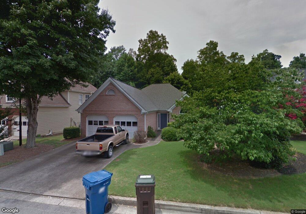
1830 Millstone Ct Alpharetta, GA 30004
Estimated Value: $497,000 - $550,000
3
Beds
2
Baths
1,668
Sq Ft
$311/Sq Ft
Est. Value
About This Home
This home is located at 1830 Millstone Ct, Alpharetta, GA 30004 and is currently estimated at $519,494, approximately $311 per square foot. 1830 Millstone Ct is a home located in Fulton County with nearby schools including Manning Oaks Elementary School, Hopewell Middle School, and Alpharetta High School.
Ownership History
Date
Name
Owned For
Owner Type
Purchase Details
Closed on
Jul 11, 2019
Sold by
Eads David C
Bought by
Eads David C and Chhatpar Hema G
Current Estimated Value
Purchase Details
Closed on
Aug 30, 2003
Sold by
Brown Nellie K T
Bought by
Brown James T
Create a Home Valuation Report for This Property
The Home Valuation Report is an in-depth analysis detailing your home's value as well as a comparison with similar homes in the area
Home Values in the Area
Average Home Value in this Area
Purchase History
| Date | Buyer | Sale Price | Title Company |
|---|---|---|---|
| Eads David C | -- | -- | |
| Brown James T | -- | -- |
Source: Public Records
Tax History Compared to Growth
Tax History
| Year | Tax Paid | Tax Assessment Tax Assessment Total Assessment is a certain percentage of the fair market value that is determined by local assessors to be the total taxable value of land and additions on the property. | Land | Improvement |
|---|---|---|---|---|
| 2025 | $1,050 | $179,280 | $47,600 | $131,680 |
| 2023 | $5,156 | $182,680 | $40,720 | $141,960 |
| 2022 | $3,577 | $135,960 | $29,960 | $106,000 |
| 2021 | $4,292 | $130,520 | $31,680 | $98,840 |
| 2020 | $3,871 | $116,000 | $30,640 | $85,360 |
| 2019 | $667 | $116,000 | $30,640 | $85,360 |
| 2018 | $2,028 | $131,600 | $30,640 | $100,960 |
| 2017 | $2,096 | $71,840 | $17,600 | $54,240 |
| 2016 | $1,746 | $71,840 | $17,600 | $54,240 |
| 2015 | $1,966 | $71,840 | $17,600 | $54,240 |
| 2014 | $1,811 | $71,840 | $17,600 | $54,240 |
Source: Public Records
Map
Nearby Homes
- 6023 Coventry Cir
- 2741 Ashleigh Ln
- 4821 Devon Ln
- 2791 Ashleigh Ln Unit 179
- 1055 Poppy Pointe
- 1035 Arborhill Ln
- 1050 Essex Ct
- 3053 Westwood Way
- 4053 Whitehall Way
- 5091 N Somerset Ln
- 4042 Whitehall Way
- 1519 Planters Ridge Ln
- 2847 Ashleigh Ln
- 3036 Westwood Way
- 2060 Monroe Dr
- 1630 Homestead Trail
- 225 Jayne Ellen Way
- 320 Jayne Ellen Way Unit 3
- 220 Water Oak Place
- 247 Water Oak Place
- 1840 Millstone Ct
- 1850 Millstone Ct
- 1810 Millstone Ct
- 0 Millstone Ct Unit 8581836
- 0 Millstone Ct Unit 8654099
- 1305 Millstone Dr
- 1315 Millstone Dr
- 1860 Millstone Ct
- 1800 Millstone Ct
- 1325 Millstone Dr
- 1835 Millstone Ct
- 1845 Millstone Ct
- 1855 Millstone Ct
- 1815 Millstone Ct Unit 2
- 1870 Millstone Ct
- 1335 Millstone Dr
- 1865 Millstone Ct
- 1875 Millstone Ct
- 1880 Millstone Ct
- 1300 Millstone Dr