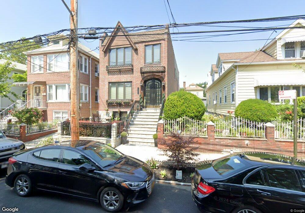
1830 Paulding Ave Bronx, NY 10462
Morris Park NeighborhoodEstimated Value: $812,000 - $1,015,000
Studio
--
Bath
2,352
Sq Ft
$407/Sq Ft
Est. Value
About This Home
This home is located at 1830 Paulding Ave, Bronx, NY 10462 and is currently estimated at $957,662, approximately $407 per square foot. 1830 Paulding Ave is a home located in Bronx County with nearby schools including P.S. 083 The Donald Hertz School, Icahn Charter School 2, and St. Clare of Assisi School.
Ownership History
Date
Name
Owned For
Owner Type
Purchase Details
Closed on
Mar 26, 1996
Sold by
Day Joan F and Day Roosevelt
Bought by
Aikens Deborah Day and Aikens Rudolph B
Current Estimated Value
Home Financials for this Owner
Home Financials are based on the most recent Mortgage that was taken out on this home.
Original Mortgage
$120,000
Interest Rate
7.39%
Create a Home Valuation Report for This Property
The Home Valuation Report is an in-depth analysis detailing your home's value as well as a comparison with similar homes in the area
Home Values in the Area
Average Home Value in this Area
Purchase History
| Date | Buyer | Sale Price | Title Company |
|---|---|---|---|
| Aikens Deborah Day | -- | First Ny Title & Abstract | |
| Aikens Deborah Day | -- | First Ny Title & Abstract |
Source: Public Records
Mortgage History
| Date | Status | Borrower | Loan Amount |
|---|---|---|---|
| Closed | Aikens Deborah Day | $120,000 |
Source: Public Records
Tax History
| Year | Tax Paid | Tax Assessment Tax Assessment Total Assessment is a certain percentage of the fair market value that is determined by local assessors to be the total taxable value of land and additions on the property. | Land | Improvement |
|---|---|---|---|---|
| 2025 | $8,847 | $46,656 | $7,347 | $39,309 |
| 2024 | $8,847 | $45,446 | $7,744 | $37,702 |
| 2023 | $8,500 | $43,254 | $7,882 | $35,372 |
| 2022 | $6,682 | $52,440 | $9,600 | $42,840 |
| 2021 | $7,879 | $45,120 | $9,600 | $35,520 |
| 2020 | $6,582 | $42,960 | $9,600 | $33,360 |
| 2019 | $7,630 | $41,760 | $9,600 | $32,160 |
| 2018 | $7,050 | $36,045 | $9,408 | $26,637 |
| 2017 | $6,632 | $34,006 | $9,562 | $24,444 |
| 2016 | $6,167 | $32,400 | $9,600 | $22,800 |
| 2015 | $3,650 | $33,453 | $9,573 | $23,880 |
| 2014 | $3,650 | $31,560 | $10,680 | $20,880 |
Source: Public Records
Map
Nearby Homes
- 1831 Paulding Ave
- 1833 Hone Ave
- 1850 Hone Ave
- 930 Morris Park Ave
- 1925 Radcliff Ave
- 928 Rhinelander Ave
- 1917 Haight Ave
- 1912 Haight Ave
- 1116 Rhinelander Ave
- 1818 Tomlinson Ave
- 1646 Radcliff Ave
- 986 Neill Ave
- 1641 Hone Ave
- 1649 Lurting Ave
- 1639 Hone Ave
- - Morris Park Ave
- 1863 Williamsbridge Rd
- 1942 Haight Ave
- 1059 Neill Ave
- 868 Morris Park Ave
- 1820 Paulding Ave
- 1832 Paulding Ave
- 1818 Paulding Ave Unit 1
- 1818 Paulding Ave
- 1836 Paulding Ave
- 1825 Hone Ave
- 1823 Hone Ave
- 1838 Paulding Ave
- 1827 Hone Ave
- 1827 Hone Ave Unit 1
- 1827 Hone Ave Unit 2
- 1821 Hone Ave
- 1816 Paulding Ave
- 1829 Hone Ave
- 1840 Paulding Ave
- 1819 Hone Ave
- 1812 Paulding Ave
- 1842 Paulding Ave
- 1815 Hone Ave
- 1831 Paulding Ave Unit 1
Your Personal Tour Guide
Ask me questions while you tour the home.