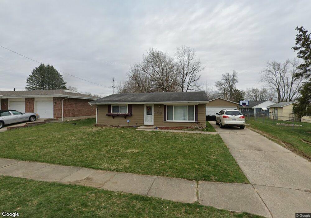
1830 Portage Path Springfield, OH 45506
Estimated Value: $74,000 - $145,000
3
Beds
1
Bath
925
Sq Ft
$125/Sq Ft
Est. Value
About This Home
This home is located at 1830 Portage Path, Springfield, OH 45506 and is currently estimated at $115,524, approximately $124 per square foot. 1830 Portage Path is a home located in Clark County with nearby schools including Perrin Woods Elementary School, Hayward Middle School, and Springfield High School.
Ownership History
Date
Name
Owned For
Owner Type
Purchase Details
Closed on
Jul 15, 2009
Sold by
Jenks Jason and Burgoyne Jenks Terri
Bought by
Niclin Group Llc
Current Estimated Value
Purchase Details
Closed on
Dec 30, 2008
Sold by
Secretary Of Housing & Urban Development
Bought by
Jenks Jason
Purchase Details
Closed on
Oct 5, 2007
Sold by
Massie Brian K and Massie Linda A
Bought by
Hud
Purchase Details
Closed on
Apr 23, 1996
Sold by
Altick & Assoc
Bought by
Massie Brian K
Home Financials for this Owner
Home Financials are based on the most recent Mortgage that was taken out on this home.
Original Mortgage
$50,672
Interest Rate
7.44%
Mortgage Type
FHA
Purchase Details
Closed on
Nov 30, 1995
Sold by
Miracle Tony
Bought by
Altick & Assoc
Create a Home Valuation Report for This Property
The Home Valuation Report is an in-depth analysis detailing your home's value as well as a comparison with similar homes in the area
Home Values in the Area
Average Home Value in this Area
Purchase History
| Date | Buyer | Sale Price | Title Company |
|---|---|---|---|
| Niclin Group Llc | -- | None Available | |
| Jenks Jason | $34,500 | Lakeside Title & Escrow | |
| Hud | $26,667 | None Available | |
| Massie Brian K | $50,000 | -- | |
| Altick & Assoc | $50,000 | -- |
Source: Public Records
Mortgage History
| Date | Status | Borrower | Loan Amount |
|---|---|---|---|
| Previous Owner | Massie Brian K | $50,672 |
Source: Public Records
Tax History
| Year | Tax Paid | Tax Assessment Tax Assessment Total Assessment is a certain percentage of the fair market value that is determined by local assessors to be the total taxable value of land and additions on the property. | Land | Improvement |
|---|---|---|---|---|
| 2025 | $1,236 | $28,320 | $5,330 | $22,990 |
| 2024 | -- | $24,390 | $4,800 | $19,590 |
| 2023 | $1,205 | $24,390 | $4,800 | $19,590 |
| 2022 | $657 | $24,390 | $4,800 | $19,590 |
| 2021 | $865 | $15,750 | $3,430 | $12,320 |
| 2020 | $867 | $15,750 | $3,430 | $12,320 |
| 2019 | $924 | $16,730 | $3,430 | $13,300 |
| 2018 | $759 | $13,190 | $2,840 | $10,350 |
| 2017 | $758 | $15,106 | $2,835 | $12,271 |
| 2016 | $341 | $15,106 | $2,835 | $12,271 |
| 2015 | $491 | $15,106 | $2,835 | $12,271 |
| 2014 | $421 | $15,106 | $2,835 | $12,271 |
| 2013 | $417 | $15,106 | $2,835 | $12,271 |
Source: Public Records
Map
Nearby Homes
- 1923 Portage Path
- 1618 Portage Path
- 1730 Damascus Ave
- 1603 W Wittenberg Blvd
- 409 W Southern Ave
- 506 W Southern Ave
- 405 W Southern Ave
- 1619 S Center Blvd
- 642 W Euclid Ave
- 311 W Grand Ave
- 929 S Western Ave
- 1515 W Perrin Ave
- 1754 S Fountain Ave
- 410 W Liberty St
- 1355 S Fountain Ave
- 830 Dibert Ave
- 0 W Perrin Ave Unit 1041970
- 0 W Perrin Ave Unit 1043508
- 0 W Perrin Ave Unit 951292
- 0 W Perrin Ave Unit 945728
- 706 Hazelbrook Ave
- 1826 Portage Path
- 700 Hazelbrook Ave
- 649 Damascus Ave
- 650 Hazelbrook Ave
- 1831 Portage Path
- 1827 Portage Path
- 1835 Portage Path
- 641 Damascus Ave
- 1823 Portage Path
- 709 Hazelbrook Ave
- 642 Hazelbrook Ave
- 1839 Portage Path
- 1820 Portage Path
- 701 Hazelbrook Ave
- 650 Damascus Ave
- 649 Hazelbrook Ave
- 635 Damascus Ave
- 1819 Portage Path
- 1843 Portage Path