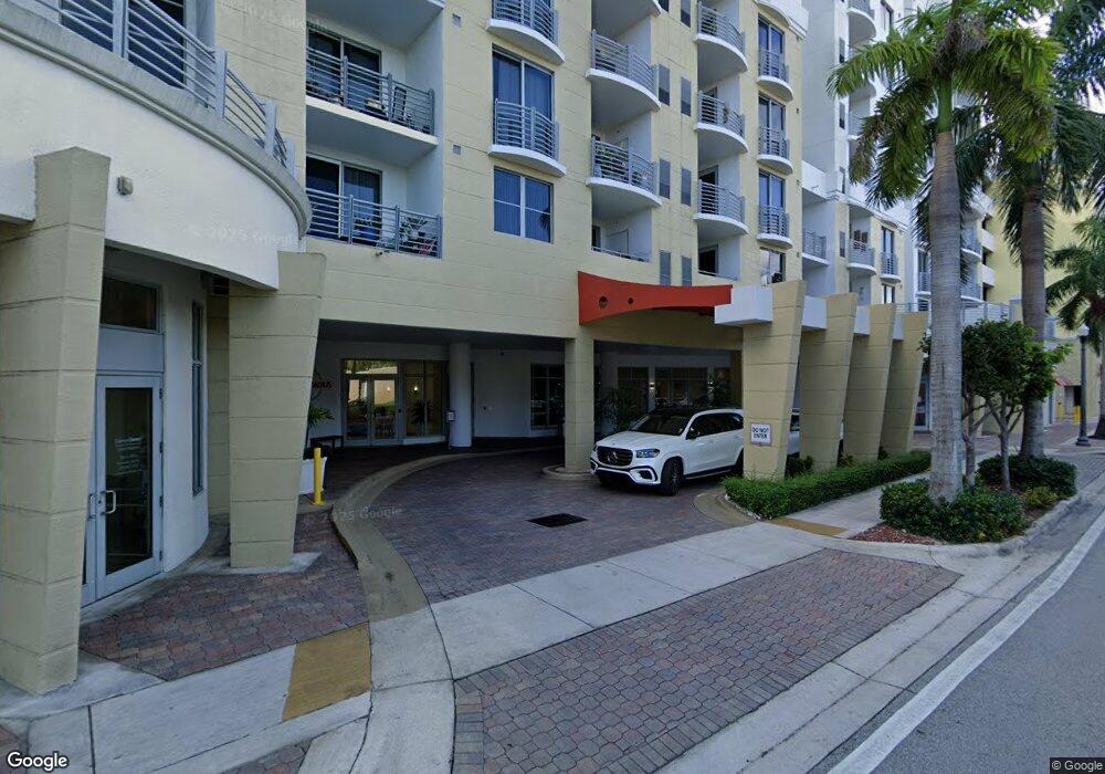
1830 Radius Dr Unit 1012 Hollywood, FL 33020
Royal Poinciana NeighborhoodEstimated Value: $363,000 - $396,000
2
Beds
2
Baths
1,164
Sq Ft
$326/Sq Ft
Est. Value
About This Home
This home is located at 1830 Radius Dr Unit 1012, Hollywood, FL 33020 and is currently estimated at $379,152, approximately $325 per square foot. 1830 Radius Dr Unit 1012 is a home located in Broward County with nearby schools including Hollywood Central Elementary School, Olsen Middle School, and South Broward High School.
Ownership History
Date
Name
Owned For
Owner Type
Purchase Details
Closed on
Nov 5, 2021
Sold by
Edwards Paul A and Edwards Jennifer M
Bought by
Edwards Paul A and Edwards Jennifer M
Current Estimated Value
Purchase Details
Closed on
Dec 11, 2015
Sold by
Edwards Paul A and Edwards Jennifer M
Bought by
Edwards Paul A and Edwards Jennifer M
Purchase Details
Closed on
Jan 30, 2008
Sold by
Hollywood Young Circle Lp
Bought by
Edwards Paul A and Edwards Jennifer M
Home Financials for this Owner
Home Financials are based on the most recent Mortgage that was taken out on this home.
Original Mortgage
$280,000
Outstanding Balance
$177,630
Interest Rate
6.17%
Mortgage Type
Purchase Money Mortgage
Estimated Equity
$201,522
Create a Home Valuation Report for This Property
The Home Valuation Report is an in-depth analysis detailing your home's value as well as a comparison with similar homes in the area
Home Values in the Area
Average Home Value in this Area
Purchase History
| Date | Buyer | Sale Price | Title Company |
|---|---|---|---|
| Edwards Paul A | -- | Accommodation | |
| Edwards Paul A | -- | None Available | |
| Edwards Paul A | $350,000 | Attorney |
Source: Public Records
Mortgage History
| Date | Status | Borrower | Loan Amount |
|---|---|---|---|
| Open | Edwards Paul A | $280,000 |
Source: Public Records
Tax History Compared to Growth
Tax History
| Year | Tax Paid | Tax Assessment Tax Assessment Total Assessment is a certain percentage of the fair market value that is determined by local assessors to be the total taxable value of land and additions on the property. | Land | Improvement |
|---|---|---|---|---|
| 2025 | $6,986 | $332,170 | $33,220 | $298,950 |
| 2024 | $6,688 | $332,170 | $33,220 | $298,950 |
| 2023 | $6,688 | $281,060 | $0 | $0 |
| 2022 | $5,744 | $255,510 | $0 | $0 |
| 2021 | $5,175 | $232,290 | $23,230 | $209,060 |
| 2020 | $5,190 | $232,830 | $23,280 | $209,550 |
| 2019 | $5,362 | $237,540 | $23,750 | $213,790 |
| 2018 | $5,110 | $231,430 | $23,140 | $208,290 |
| 2017 | $5,062 | $224,930 | $0 | $0 |
| 2016 | $4,891 | $204,490 | $0 | $0 |
| 2015 | $4,581 | $185,900 | $0 | $0 |
| 2014 | $4,268 | $169,000 | $0 | $0 |
| 2013 | -- | $173,430 | $17,340 | $156,090 |
Source: Public Records
Map
Nearby Homes
- 1830 Radius Dr Unit 810
- 1830 Radius Dr Unit 516
- 1830 Radius Dr Unit 1301
- 1830 Radius Dr Unit 609
- 1830 Radius Dr Unit 308
- 1830 Radius Dr Unit 604
- 1830 Radius Dr Unit 1119
- 1830 Radius Dr Unit 1024
- 1830 Radius Dr Unit 909
- 1830 Radius Dr Unit 1317
- 1830 Radius Dr Unit 1123
- 1830 Radius Dr Unit 421
- 1830 Radius Dr Unit 314
- 1830 Radius Dr Unit 1017
- 1830 Radius Dr Unit 605
- 1830 Radius Dr Unit 1203
- 1830 Radius Dr Unit 820
- 1830 Radius Dr Unit 405
- 1776 Polk St Unit 1410
- 1776 Polk St Unit 2310
- 1830 Radius Dr
- 1830 Radius Dr Unit PH04
- 1830 Radius Dr Unit Pentho
- 1830 Radius Dr Unit 1102
- 1830 Radius Dr Unit 823
- 1830 Radius Dr Unit 1315
- 1830 Radius Dr Unit 220
- 1830 Radius Dr Unit 900N
- 1830 Radius Dr Unit 825
- 1830 Radius Dr Unit 704
- 1830 Radius Dr Unit 1303
- 1830 Radius Dr Unit 608
- 1830 Radius Dr Unit 215
- 1830 Radius Dr Unit 812
- 1830 Radius Dr Unit 517
- 1830 Radius Dr Unit 607
- 1830 Radius Dr Unit 1010
- 1830 Radius Dr Unit 807
- 1830 Radius Dr Unit 801
- 1830 Radius Dr Unit 915