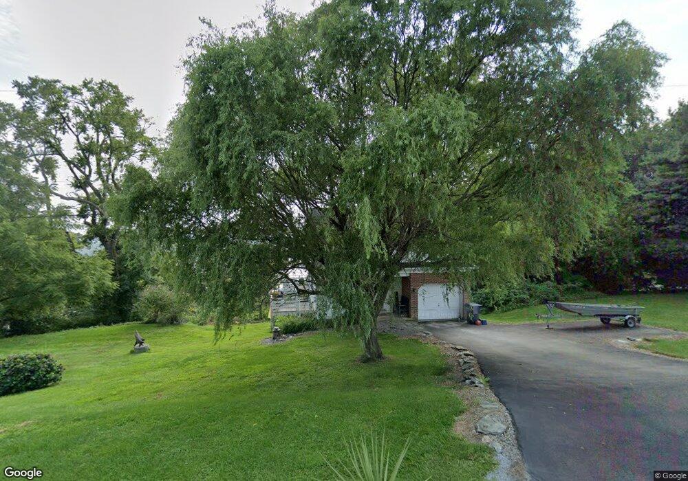
1830 Rivervue Dr N Drumore, PA 17518
Estimated Value: $327,967 - $434,000
1
Bed
1
Bath
1,143
Sq Ft
$327/Sq Ft
Est. Value
About This Home
This home is located at 1830 Rivervue Dr N, Drumore, PA 17518 and is currently estimated at $373,992, approximately $327 per square foot. 1830 Rivervue Dr N is a home located in Lancaster County with nearby schools including Smith Middle School and Solanco High School.
Ownership History
Date
Name
Owned For
Owner Type
Purchase Details
Closed on
Jan 31, 2002
Sold by
Raub Michael A and Kauffman Raub Bethany A
Bought by
Schlott Carl R
Current Estimated Value
Home Financials for this Owner
Home Financials are based on the most recent Mortgage that was taken out on this home.
Original Mortgage
$96,000
Outstanding Balance
$39,891
Interest Rate
7.13%
Estimated Equity
$334,101
Purchase Details
Closed on
Apr 15, 1999
Sold by
Dougherty James P and Dougherty Elizabeth G
Bought by
Raub Michael A and Kauffman Raub Bethany A
Home Financials for this Owner
Home Financials are based on the most recent Mortgage that was taken out on this home.
Original Mortgage
$104,900
Interest Rate
7.04%
Mortgage Type
FHA
Create a Home Valuation Report for This Property
The Home Valuation Report is an in-depth analysis detailing your home's value as well as a comparison with similar homes in the area
Home Values in the Area
Average Home Value in this Area
Purchase History
| Date | Buyer | Sale Price | Title Company |
|---|---|---|---|
| Schlott Carl R | $129,900 | -- | |
| Raub Michael A | $105,000 | Lawyers Title Insurance Corp |
Source: Public Records
Mortgage History
| Date | Status | Borrower | Loan Amount |
|---|---|---|---|
| Open | Schlott Carl R | $96,000 | |
| Previous Owner | Raub Michael A | $104,900 | |
| Closed | Schlott Carl R | $27,405 |
Source: Public Records
Tax History Compared to Growth
Tax History
| Year | Tax Paid | Tax Assessment Tax Assessment Total Assessment is a certain percentage of the fair market value that is determined by local assessors to be the total taxable value of land and additions on the property. | Land | Improvement |
|---|---|---|---|---|
| 2025 | $3,097 | $192,600 | $90,100 | $102,500 |
| 2024 | $3,097 | $192,600 | $90,100 | $102,500 |
| 2023 | $3,006 | $192,600 | $90,100 | $102,500 |
| 2022 | $2,908 | $192,600 | $90,100 | $102,500 |
| 2021 | $2,808 | $192,600 | $90,100 | $102,500 |
| 2020 | $2,808 | $192,600 | $90,100 | $102,500 |
| 2019 | $2,738 | $192,600 | $90,100 | $102,500 |
| 2018 | $724 | $192,600 | $90,100 | $102,500 |
| 2017 | $2,533 | $147,400 | $57,600 | $89,800 |
| 2016 | $2,533 | $147,400 | $57,600 | $89,800 |
| 2015 | $698 | $147,400 | $57,600 | $89,800 |
| 2014 | $1,668 | $147,400 | $57,600 | $89,800 |
Source: Public Records
Map
Nearby Homes
- 293 Grove Rd
- 2143 Bald Eagle Rd
- 117 Grove Rd
- 523 River Rd
- 1534 Benton Hollow Rd
- 1063 Hilldale Rd
- 1109 Susquehannock Dr
- 999 Hilldale Rd
- 65 W Mckinley Rd
- 121 Black Bear Rd
- 219 Center Rd
- 2 Anthony Ct
- 3 Anthony Ct
- 140 Arcadia Trace
- 115 Highfield Rd
- 90 Hilldale Rd
- 888 Hilldale Rd
- 55 Highfield Rd
- 103 Talton Dr
- 57 Pendyrus St
- 1826 Rivervue Dr N
- 1824 Rivervue N
- 1834 Rivervue N
- 1822 Rivervue Dr N
- 0 N Rivervue Dr Unit 130851
- 0 N Rivervue Dr Unit 138433
- 0 N Rivervue Dr Unit 156567
- 1838 Rivervue N
- 1848 Rivervue Dr N
- 1846 Rivervue Dr N
- 1850 Rivervue N
- 1852 Rivervue N
- 1854 Rivervue N
- 1864 Susquehannock Dr
- 1849 Susquehannock Dr
- 1856 Rivervue N
- 0 Rivervue Dr N Unit 2 1004671933
- 0 Rivervue Dr N Unit 2 1004666135
- 0 Rivervue Dr N Unit 2 1004568179
- 1772 Rivervue Dr N