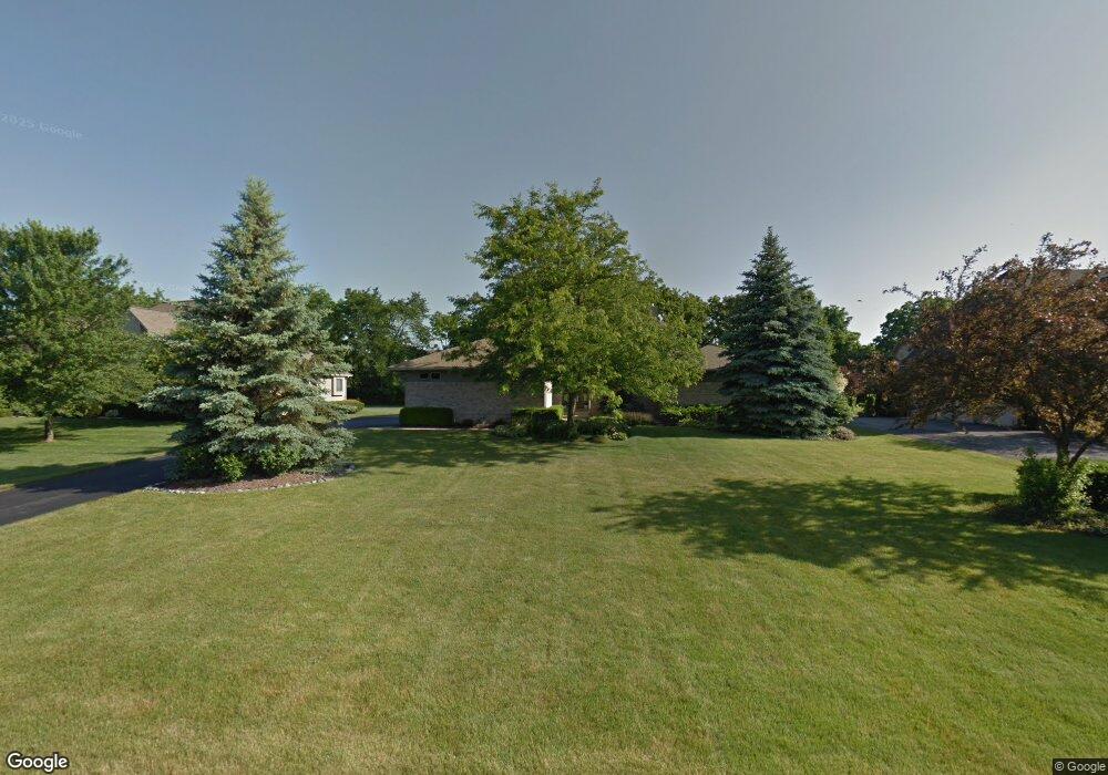
1830 Stonebridge Dr N Unit 155 Ann Arbor, MI 48108
Stonebridge NeighborhoodEstimated Value: $731,625 - $915,000
5
Beds
4
Baths
3,008
Sq Ft
$273/Sq Ft
Est. Value
About This Home
This home is located at 1830 Stonebridge Dr N Unit 155, Ann Arbor, MI 48108 and is currently estimated at $821,906, approximately $273 per square foot. 1830 Stonebridge Dr N Unit 155 is a home located in Washtenaw County with nearby schools including Bryant Elementary School, Pattengill Elementary School, and Tappan Middle School.
Ownership History
Date
Name
Owned For
Owner Type
Purchase Details
Closed on
Mar 31, 2016
Sold by
Bentz Joan D and Bentz Rodney R
Bought by
Bentz Joan D and Joan D Bentz Trust
Current Estimated Value
Purchase Details
Closed on
Jul 31, 2007
Sold by
Campbell J Michael and Campbell Patricia Anne
Bought by
Bentz Rodney R and Bentz Joan D
Home Financials for this Owner
Home Financials are based on the most recent Mortgage that was taken out on this home.
Original Mortgage
$300,000
Outstanding Balance
$190,623
Interest Rate
6.73%
Mortgage Type
Unknown
Estimated Equity
$631,283
Purchase Details
Closed on
Mar 15, 1996
Sold by
M W Morhous Co
Bought by
Campbell Michael J and Campbell Patricia
Home Financials for this Owner
Home Financials are based on the most recent Mortgage that was taken out on this home.
Original Mortgage
$250,000
Interest Rate
6.85%
Mortgage Type
New Conventional
Create a Home Valuation Report for This Property
The Home Valuation Report is an in-depth analysis detailing your home's value as well as a comparison with similar homes in the area
Home Values in the Area
Average Home Value in this Area
Purchase History
| Date | Buyer | Sale Price | Title Company |
|---|---|---|---|
| Bentz Joan D | -- | None Available | |
| Bentz Rodney R | $475,000 | Sst | |
| Campbell Michael J | $344,000 | -- |
Source: Public Records
Mortgage History
| Date | Status | Borrower | Loan Amount |
|---|---|---|---|
| Open | Bentz Rodney R | $300,000 | |
| Previous Owner | Campbell Michael J | $250,000 |
Source: Public Records
Tax History
| Year | Tax Paid | Tax Assessment Tax Assessment Total Assessment is a certain percentage of the fair market value that is determined by local assessors to be the total taxable value of land and additions on the property. | Land | Improvement |
|---|---|---|---|---|
| 2025 | $7,571 | $359,318 | $0 | $0 |
| 2024 | $7,390 | $342,204 | $0 | $0 |
| 2023 | $7,101 | $304,700 | $0 | $0 |
| 2022 | $10,661 | $286,200 | $0 | $0 |
| 2021 | $10,404 | $278,200 | $0 | $0 |
| 2020 | $10,206 | $274,800 | $0 | $0 |
| 2019 | $9,610 | $271,200 | $271,200 | $0 |
| 2018 | $9,459 | $271,200 | $0 | $0 |
| 2017 | $9,161 | $274,800 | $0 | $0 |
| 2016 | $5,902 | $232,076 | $0 | $0 |
| 2015 | -- | $231,382 | $0 | $0 |
| 2014 | -- | $224,153 | $0 | $0 |
| 2013 | -- | $224,153 | $0 | $0 |
Source: Public Records
Map
Nearby Homes
- 1989 Stonebridge Dr N
- 2040 Bay Hill Ct
- 1729 Monterey Ct Unit 69
- 2222 Stonebridge Dr N
- 4703 Sawgrass Dr W
- 2427 Moors Ct Unit 2
- 3959 Fox Glen Dr
- 1717 Foxdale Ln Unit 133
- 3824 Santa fe Trail
- 4641 Cottonwood Dr
- 1487 Saint James Blvd
- 2641 Aspen Rd
- 2243 Twin Islands Ct
- 1411 Whispering Maples Dr N
- 5428 Lohr Lake Dr
- 5421 Pinnacle Ct Unit 67
- 5322 Pinnacle Ct Unit 19
- 5391 Pinnacle Ct
- 3909 Ann Arbor-Saline Rd
- 1579 Oakfield Dr Unit 123
- 1796 Stonebridge Dr N
- 1856 Stonebridge Dr N Unit 154
- 1874 Stonebridge Dr N
- 1790 Stonebridge Dr N Unit 157
- 4481 Lake Forest Dr E
- 4479 Lake Forest Dr E
- 4483 Lake Forest Dr E
- 1784 Stonebridge Dr N
- 1876 Stonebridge Dr N
- 4485 Lake Forest Dr E
- 1831 Stonebridge Dr N
- 1811 Stonebridge Dr N
- 1845 Stonebridge Dr N
- 1795 Stonebridge Dr N Unit 10
- 4477 Lake Forest Dr E
- 1859 Stonebridge Dr N
- 1791 Stonebridge Dr N Unit 9
- 4487 Lake Forest Dr E
- 1873 Stonebridge Dr N
- 1888 Stonebridge Dr N
Your Personal Tour Guide
Ask me questions while you tour the home.