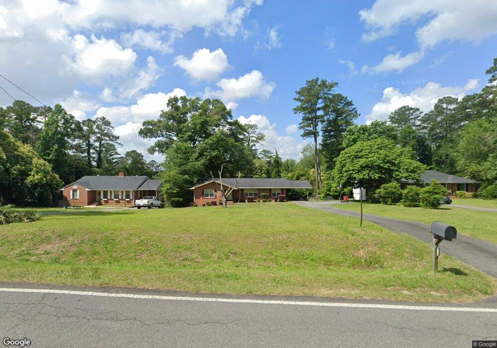
1830 Upper River Rd Macon, GA 31211
Shirley Hills Historic District NeighborhoodEstimated Value: $143,000 - $184,000
3
Beds
2
Baths
1,603
Sq Ft
$107/Sq Ft
Est. Value
About This Home
This home is located at 1830 Upper River Rd, Macon, GA 31211 and is currently estimated at $171,702, approximately $107 per square foot. 1830 Upper River Rd is a home located in Bibb County with nearby schools including Martin Luther King Jr. Elementary School, Appling Middle School, and Northeast High School.
Ownership History
Date
Name
Owned For
Owner Type
Purchase Details
Closed on
Dec 12, 2012
Sold by
James Melissa D
Bought by
Mccoy Melissa D
Current Estimated Value
Home Financials for this Owner
Home Financials are based on the most recent Mortgage that was taken out on this home.
Original Mortgage
$99,009
Outstanding Balance
$68,385
Interest Rate
3.38%
Mortgage Type
FHA
Estimated Equity
$103,317
Purchase Details
Closed on
May 23, 2006
Sold by
Lester Derek
Bought by
James Melissa D
Home Financials for this Owner
Home Financials are based on the most recent Mortgage that was taken out on this home.
Original Mortgage
$108,300
Interest Rate
6.41%
Mortgage Type
FHA
Purchase Details
Closed on
Jan 8, 2002
Create a Home Valuation Report for This Property
The Home Valuation Report is an in-depth analysis detailing your home's value as well as a comparison with similar homes in the area
Home Values in the Area
Average Home Value in this Area
Purchase History
| Date | Buyer | Sale Price | Title Company |
|---|---|---|---|
| Mccoy Melissa D | -- | None Available | |
| James Melissa D | $110,000 | None Available | |
| -- | $85,000 | -- |
Source: Public Records
Mortgage History
| Date | Status | Borrower | Loan Amount |
|---|---|---|---|
| Open | Mccoy Melissa D | $99,009 | |
| Previous Owner | James Melissa D | $108,300 |
Source: Public Records
Tax History
| Year | Tax Paid | Tax Assessment Tax Assessment Total Assessment is a certain percentage of the fair market value that is determined by local assessors to be the total taxable value of land and additions on the property. | Land | Improvement |
|---|---|---|---|---|
| 2025 | $1,498 | $60,960 | $14,352 | $46,608 |
| 2024 | $1,464 | $57,648 | $11,040 | $46,608 |
| 2023 | $1,310 | $51,569 | $11,040 | $40,529 |
| 2022 | $1,539 | $44,455 | $7,624 | $36,831 |
| 2021 | $1,418 | $37,322 | $6,630 | $30,692 |
| 2020 | $1,449 | $37,322 | $6,630 | $30,692 |
| 2019 | $1,187 | $37,322 | $6,630 | $30,692 |
| 2018 | $1,998 | $37,322 | $6,630 | $30,692 |
| 2017 | $1,136 | $37,322 | $6,630 | $30,692 |
| 2016 | $1,049 | $37,322 | $6,630 | $30,692 |
| 2015 | $1,485 | $37,322 | $6,630 | $30,692 |
| 2014 | $1,759 | $37,322 | $6,630 | $30,692 |
Source: Public Records
Map
Nearby Homes
- 1746 Hamilton Dr
- 1735 Foster Place
- 1715 Foster Place
- 1485 Lone Oak Dr
- 1916 Flintwood Dr
- 1949 Deerwood Place
- 1825 Flintwood Dr
- 1972 Wood Valley Rd
- 1954 Wood Valley Rd
- 1978 Wood Valley Rd
- 1898 Wood Valley Rd
- 1868 Waverland Dr
- 1987 Long Ridge Dr
- 1976 Long Ridge Dr
- 1971 Long Ridge Dr
- 1728 Waverland Cir
- 1825 Waverland Cir
- 1435 Twin Pines Dr
- 1464 Twin Pines Dr
- 1158 Jackson Springs Rd
- 1838 Upper River Rd
- 1824 Upper River Rd
- 1840 Upper River Rd
- 1816 Upper River Rd
- 1794 Lincoln Cir
- 1855 Lincoln Rd
- 1795 Lincoln Cir
- 1835 Upper River Rd
- 1856 Upper River Rd
- 1845 Lincoln Rd
- 1776 Foster Place
- 1831 Upper River Rd
- 1808 Upper River Rd
- 1772 Foster Place
- 1856 Lincoln Rd
- 1804 Kirkwood Dr
- 1862 Upper River Rd
- 1819 Lincoln Rd
- 1791 Lincoln Cir Unit L21 & L22
- 1791 Lincoln Cir
Your Personal Tour Guide
Ask me questions while you tour the home.