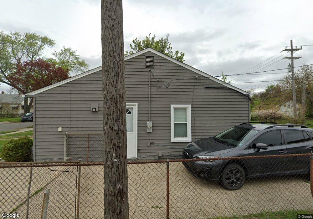
1830 Wrenson St Ferndale, MI 48220
Estimated Value: $175,000 - $203,000
2
Beds
1
Bath
672
Sq Ft
$276/Sq Ft
Est. Value
About This Home
This home is located at 1830 Wrenson St, Ferndale, MI 48220 and is currently estimated at $185,581, approximately $276 per square foot. 1830 Wrenson St is a home located in Oakland County with nearby schools including Hazel Park Junior High School and Hazel Park High School.
Ownership History
Date
Name
Owned For
Owner Type
Purchase Details
Closed on
Nov 22, 2024
Sold by
Rowlett William A
Bought by
Rowlett William A and Rowlett Leigh A
Current Estimated Value
Purchase Details
Closed on
Oct 13, 2020
Sold by
Rowlett Betty Lou
Bought by
Rowlett Betty Lou and Rowlett William A
Purchase Details
Closed on
Sep 13, 2020
Sold by
Rowlett William A and Betty Lou Rowlett Revocable Li
Bought by
Rowlett William A
Purchase Details
Closed on
Aug 26, 2010
Sold by
Rowlett Betty Lou and Rowlett Ardell
Bought by
Rowlett Betty Lou and Rowlett Ardell
Create a Home Valuation Report for This Property
The Home Valuation Report is an in-depth analysis detailing your home's value as well as a comparison with similar homes in the area
Home Values in the Area
Average Home Value in this Area
Purchase History
| Date | Buyer | Sale Price | Title Company |
|---|---|---|---|
| Rowlett William A | -- | None Listed On Document | |
| Rowlett William A | -- | None Listed On Document | |
| Rowlett Betty Lou | -- | None Listed On Document | |
| Rowlett William A | -- | None Available | |
| Rowlett Betty Lou | -- | None Available |
Source: Public Records
Tax History Compared to Growth
Tax History
| Year | Tax Paid | Tax Assessment Tax Assessment Total Assessment is a certain percentage of the fair market value that is determined by local assessors to be the total taxable value of land and additions on the property. | Land | Improvement |
|---|---|---|---|---|
| 2024 | $1,541 | $67,220 | $0 | $0 |
| 2023 | $1,574 | $63,390 | $0 | $0 |
| 2022 | $1,547 | $54,880 | $0 | $0 |
| 2021 | $1,237 | $46,450 | $0 | $0 |
| 2020 | $1,185 | $39,210 | $0 | $0 |
| 2019 | $1,197 | $32,820 | $0 | $0 |
| 2018 | $1,180 | $25,670 | $0 | $0 |
| 2017 | $1,338 | $23,700 | $0 | $0 |
| 2016 | $1,143 | $19,590 | $0 | $0 |
| 2015 | -- | $16,820 | $0 | $0 |
| 2014 | -- | $15,010 | $0 | $0 |
| 2011 | -- | $25,540 | $0 | $0 |
Source: Public Records
Map
Nearby Homes
- 1842 Wrenson St
- 1971 Leitch Rd
- 1986 Romeo St
- 2120 Wrenson St
- 2103 Leitch Rd
- 1909 E Troy St
- 2043 Pilgrim St
- 23067 Stauber Ave
- 2128 Romeo St
- 1942 E Troy St
- 23304 Stauber Ave
- 1803 Ardmore Dr
- 1741 Academy St
- 516 Orchard Ave
- 1873 Academy St
- 2105 Manatee St
- 23060 Berdeno Ave
- 1206 Rosewood St
- 1054 E Troy St
- 1900 College St
- 1858 Wrenson St
- 1701 E 9 Mile Rd
- 1835 Martin Rd
- 1845 Martin Rd
- 1904 Wrenson St
- 1859 Martin Rd
- 1833 Wrenson St
- 1845 Wrenson St
- 1914 Wrenson St
- 1905 Martin Rd
- 1905 Wrenson St
- 1915 Martin Rd
- 1920 Wrenson St
- 1915 Wrenson St
- 1921 Martin Rd
- 1844 Leitch Rd Unit 1st floor
- 1844 Leitch Rd Unit lower
- 1930 Wrenson St
- 1921 Wrenson St
- 1931 Martin Rd