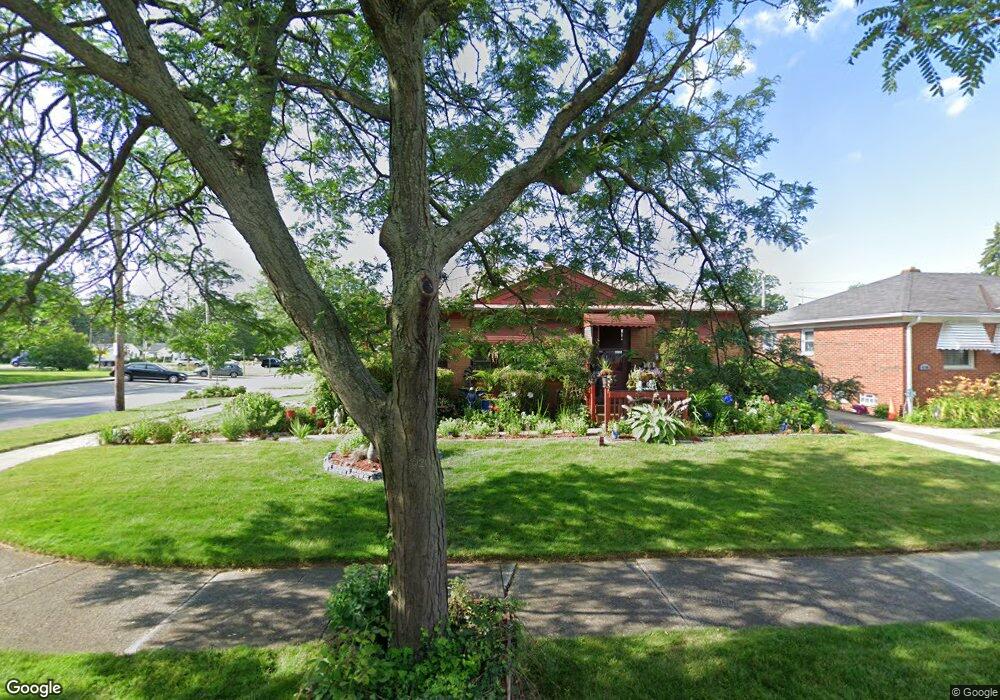
18301 Michael Ave Beachwood, OH 44122
Lee-Miles NeighborhoodEstimated Value: $114,624 - $158,000
3
Beds
1
Bath
1,097
Sq Ft
$121/Sq Ft
Est. Value
About This Home
This home is located at 18301 Michael Ave, Beachwood, OH 44122 and is currently estimated at $133,156, approximately $121 per square foot. 18301 Michael Ave is a home located in Cuyahoga County with nearby schools including Adlai Stevenson School, Andrew J. Rickoff School, and Bolton.
Ownership History
Date
Name
Owned For
Owner Type
Purchase Details
Closed on
Dec 17, 2007
Sold by
Foster Eleanor
Bought by
Foster Stephanie
Current Estimated Value
Purchase Details
Closed on
Dec 7, 2007
Sold by
Estate Of Obealus Baskin Lanham
Bought by
Foster Eleanor and Foster Stephanie
Purchase Details
Closed on
Jan 1, 1975
Bought by
Lanham Obealus
Create a Home Valuation Report for This Property
The Home Valuation Report is an in-depth analysis detailing your home's value as well as a comparison with similar homes in the area
Home Values in the Area
Average Home Value in this Area
Purchase History
| Date | Buyer | Sale Price | Title Company |
|---|---|---|---|
| Foster Stephanie | -- | None Available | |
| Foster Eleanor | -- | None Available | |
| Lanham Obealus | -- | -- |
Source: Public Records
Tax History Compared to Growth
Tax History
| Year | Tax Paid | Tax Assessment Tax Assessment Total Assessment is a certain percentage of the fair market value that is determined by local assessors to be the total taxable value of land and additions on the property. | Land | Improvement |
|---|---|---|---|---|
| 2024 | $2,696 | $41,125 | $7,595 | $33,530 |
| 2023 | $2,156 | $28,420 | $6,160 | $22,260 |
| 2022 | $2,143 | $28,420 | $6,160 | $22,260 |
| 2021 | $2,122 | $28,420 | $6,160 | $22,260 |
| 2020 | $2,098 | $24,290 | $5,250 | $19,040 |
| 2019 | $1,940 | $69,400 | $15,000 | $54,400 |
| 2018 | $1,716 | $24,290 | $5,250 | $19,040 |
| 2017 | $1,512 | $18,340 | $4,900 | $13,440 |
| 2016 | $1,501 | $18,340 | $4,900 | $13,440 |
| 2015 | $1,478 | $18,340 | $4,900 | $13,440 |
| 2014 | $1,478 | $18,000 | $4,800 | $13,200 |
Source: Public Records
Map
Nearby Homes
- 4004 E 190th St
- 18200 Lotus Dr
- 19102 Ridgewood Ave
- 3983 E 176th St
- 19207 Harvard Ave
- 3938 E 177th St
- 3915 E 177th St
- 3947 E 176th St
- 4146 Ascot Ln
- 19201 Hathaway Ln
- 3927 E 176th St
- 19207 Kings Hwy
- 4118 E 175th St
- 17502 Judson Dr
- 4234 E 187th St
- 4217 E 189th St
- 3853 Lee Heights Blvd
- 17403 Stockbridge Ave
- 18401 Garden Blvd
- 17215 Harvard Ave
- 18305 Michael Ave
- 18309 Michael Ave
- 18302 Harvard Ave
- 18306 Harvard Ave
- 4081 Feiner Dr
- 18310 Harvard Ave
- 18401 Michael Ave
- 4085 Feiner Dr
- 18400 Harvard Ave
- 4080 E 186th St
- 18405 Michael Ave
- 4089 Feiner Dr
- 4084 E 186th St
- 18404 Harvard Ave
- 4088 E 186th St
- 18501 Michael Ave
- 4093 Feiner Dr
- 18500 Harvard Ave
- 4092 E 186th St
- 4097 Feiner Dr