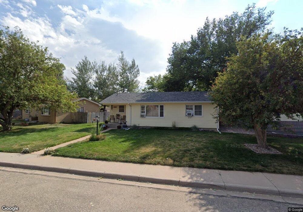
1831 Andover Dr Cheyenne, WY 82001
Estimated Value: $327,000 - $369,000
--
Bed
--
Bath
1,312
Sq Ft
$264/Sq Ft
Est. Value
About This Home
This home is located at 1831 Andover Dr, Cheyenne, WY 82001 and is currently estimated at $346,559, approximately $264 per square foot. 1831 Andover Dr is a home located in Laramie County with nearby schools including Henderson Elementary School, Carey Junior High School, and East High School.
Ownership History
Date
Name
Owned For
Owner Type
Purchase Details
Closed on
Apr 18, 2013
Sold by
Lewis Kim T and Lewis Rebecca J
Bought by
Heil Scott
Current Estimated Value
Home Financials for this Owner
Home Financials are based on the most recent Mortgage that was taken out on this home.
Original Mortgage
$142,448
Outstanding Balance
$100,912
Interest Rate
3.55%
Mortgage Type
FHA
Estimated Equity
$245,647
Create a Home Valuation Report for This Property
The Home Valuation Report is an in-depth analysis detailing your home's value as well as a comparison with similar homes in the area
Home Values in the Area
Average Home Value in this Area
Purchase History
| Date | Buyer | Sale Price | Title Company |
|---|---|---|---|
| Heil Scott | -- | None Available |
Source: Public Records
Mortgage History
| Date | Status | Borrower | Loan Amount |
|---|---|---|---|
| Open | Heil Scott | $142,448 |
Source: Public Records
Tax History Compared to Growth
Tax History
| Year | Tax Paid | Tax Assessment Tax Assessment Total Assessment is a certain percentage of the fair market value that is determined by local assessors to be the total taxable value of land and additions on the property. | Land | Improvement |
|---|---|---|---|---|
| 2025 | $1,864 | $20,453 | $3,170 | $17,283 |
| 2024 | $1,864 | $26,366 | $4,227 | $22,139 |
| 2023 | $1,903 | $26,919 | $4,227 | $22,692 |
| 2022 | $1,631 | $22,591 | $4,227 | $18,364 |
| 2021 | $1,548 | $21,399 | $4,227 | $17,172 |
| 2020 | $1,364 | $18,903 | $4,227 | $14,676 |
| 2019 | $1,311 | $18,151 | $4,227 | $13,924 |
| 2018 | $1,177 | $16,463 | $3,899 | $12,564 |
| 2017 | $1,162 | $16,094 | $3,899 | $12,195 |
| 2016 | $1,099 | $15,215 | $3,703 | $11,512 |
| 2015 | $1,030 | $14,254 | $3,703 | $10,551 |
| 2014 | $1,175 | $16,171 | $3,703 | $12,468 |
Source: Public Records
Map
Nearby Homes
- 1813 Andover Dr
- 1813 Newton Dr
- 1801 Milton Dr
- 1958 Newton Dr
- 3700 Essex Rd
- 3444 Dover Rd
- 1751 E Pershing Blvd
- 1731 E Pershing Blvd
- 1718 Newton Dr
- 3529 Concord Rd
- 1702 Newton Dr
- 1808 E 21st St
- 3561 Boston Rd
- 1610 E 20th St
- TBD Charles St
- TBD E Lincolnway
- 3628 Amherst Rd
- Lot 1 E Phipps Ave
- Tract 1 E Pershing Blvd
- 1408 E 22nd St
- 1825 Andover Dr
- 1837 Andover Dr
- 1819 Andover Dr
- 1828 Newton Dr
- 1847 Andover Dr
- 1834 Newton Dr
- 1824 Newton Dr
- 1838 Newton Dr
- 1826 Andover Dr
- 1820 Newton Dr
- 1832 Andover Dr
- 1842 Newton Dr
- 1822 Andover Dr
- 1836 Andover Dr
- 1840 Andover Dr
- 1812 Newton Dr
- 1809 Andover Dr
- 1814 Andover Dr
- 1848 Newton Dr
- 1846 Andover Dr