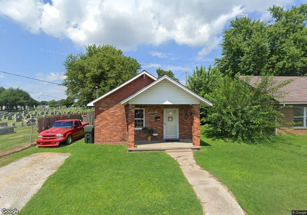
1831 Calhoun St Owensboro, KY 42301
Dogwood Azalea NeighborhoodEstimated Value: $102,000 - $156,122
1
Bed
1
Bath
720
Sq Ft
$168/Sq Ft
Est. Value
About This Home
This home is located at 1831 Calhoun St, Owensboro, KY 42301 and is currently estimated at $120,781, approximately $167 per square foot. 1831 Calhoun St is a home located in Daviess County with nearby schools including Foust Elementary School, Owensboro Middle School North, and Owensboro High School.
Ownership History
Date
Name
Owned For
Owner Type
Purchase Details
Closed on
Oct 27, 2021
Sold by
Adkins James and Adkins Yvonne
Bought by
Y M G Financial Inc
Current Estimated Value
Home Financials for this Owner
Home Financials are based on the most recent Mortgage that was taken out on this home.
Original Mortgage
$335,000
Outstanding Balance
$307,309
Interest Rate
3.07%
Mortgage Type
Construction
Estimated Equity
-$186,528
Create a Home Valuation Report for This Property
The Home Valuation Report is an in-depth analysis detailing your home's value as well as a comparison with similar homes in the area
Home Values in the Area
Average Home Value in this Area
Purchase History
| Date | Buyer | Sale Price | Title Company |
|---|---|---|---|
| Y M G Financial Inc | $339,700 | Attorney Only |
Source: Public Records
Mortgage History
| Date | Status | Borrower | Loan Amount |
|---|---|---|---|
| Open | Y M G Financial Inc | $335,000 |
Source: Public Records
Tax History Compared to Growth
Tax History
| Year | Tax Paid | Tax Assessment Tax Assessment Total Assessment is a certain percentage of the fair market value that is determined by local assessors to be the total taxable value of land and additions on the property. | Land | Improvement |
|---|---|---|---|---|
| 2025 | $261 | $99,900 | $0 | $0 |
| 2024 | $261 | $99,900 | $0 | $0 |
| 2023 | $1,040 | $99,900 | $0 | $0 |
| 2022 | $1,327 | $99,900 | $0 | $0 |
| 2021 | $468 | $35,000 | $0 | $0 |
| 2020 | $438 | $32,500 | $0 | $0 |
| 2019 | $8,990 | $32,500 | $0 | $0 |
| 2018 | $622 | $28,200 | $0 | $0 |
| 2017 | $620 | $28,200 | $0 | $0 |
| 2016 | $601 | $28,200 | $0 | $0 |
| 2015 | $73 | $28,200 | $0 | $0 |
| 2014 | $64 | $24,800 | $0 | $0 |
Source: Public Records
Map
Nearby Homes
- 1314 Werner Ave
- 1664 Roosevelt Rd
- 922 Hickman Ave
- 2500 Old Henderson Rd
- 2215 W 8th St
- 2020 York Dr
- 2304 W 7th St
- 2124 Griffith Ave
- 1326 Wayside Dr E
- 2323 N Stratford Dr
- 509 Omega St
- 1927 Eaton Ave
- 1101 W 11th St
- 1605 W 5th St
- 2258 N York St
- 2252 S York St
- 1929 Fleming Ave
- 1412 Ford Ave
- 2216A Bittel Rd
- 2216 Bittel Rd
- 1829 Calhoun St
- 1827 Calhoun St
- 1825 Calhoun St
- 1832 Calhoun St
- 1834 Calhoun St
- 1828 Calhoun St
- 1836 Calhoun St
- 1838 Calhoun St
- 1826 Calhoun St
- 1324 Independence Ave
- 1330 Independence Ave
- 1326 Independence Ave
- 1818 Calhoun St
- 1840 Calhoun St
- 1322 Independence Ave
- 1320 Independence Ave
- 1842 Calhoun St
- 1412 Independence Ave
- 1308 Independence Ave
- 1827 Willis Ave