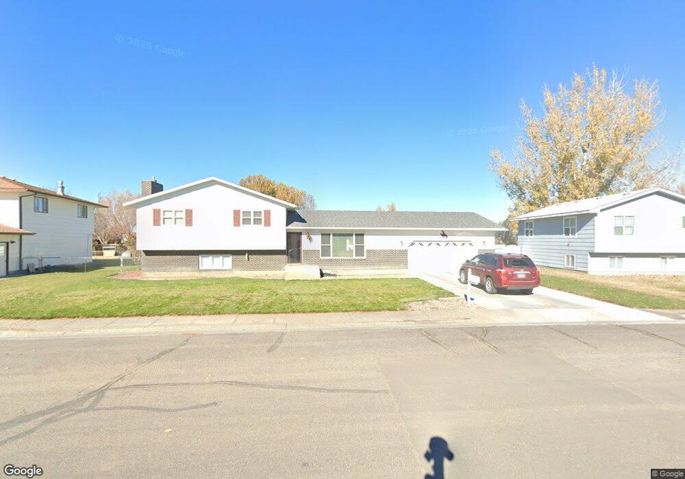
1831 Circle Rd Worland, WY 82401
Estimated Value: $294,000 - $337,000
3
Beds
3
Baths
1,984
Sq Ft
$162/Sq Ft
Est. Value
About This Home
This home is located at 1831 Circle Rd, Worland, WY 82401 and is currently estimated at $320,749, approximately $161 per square foot. 1831 Circle Rd is a home located in Washakie County with nearby schools including East Side Elementary School, South Side Elementary School, and West Side Elementary School.
Ownership History
Date
Name
Owned For
Owner Type
Purchase Details
Closed on
Feb 26, 2016
Sold by
Thiel Thomas F and Thiel Betty L
Bought by
Hake Jonathan A and Hake Sadami
Current Estimated Value
Home Financials for this Owner
Home Financials are based on the most recent Mortgage that was taken out on this home.
Original Mortgage
$100,000
Outstanding Balance
$79,852
Interest Rate
3.92%
Mortgage Type
New Conventional
Estimated Equity
$240,897
Create a Home Valuation Report for This Property
The Home Valuation Report is an in-depth analysis detailing your home's value as well as a comparison with similar homes in the area
Home Values in the Area
Average Home Value in this Area
Purchase History
| Date | Buyer | Sale Price | Title Company |
|---|---|---|---|
| Hake Jonathan A | -- | American Title |
Source: Public Records
Mortgage History
| Date | Status | Borrower | Loan Amount |
|---|---|---|---|
| Open | Hake Jonathan A | $100,000 |
Source: Public Records
Tax History Compared to Growth
Tax History
| Year | Tax Paid | Tax Assessment Tax Assessment Total Assessment is a certain percentage of the fair market value that is determined by local assessors to be the total taxable value of land and additions on the property. | Land | Improvement |
|---|---|---|---|---|
| 2025 | $1,669 | $21,914 | $2,352 | $19,562 |
| 2024 | $2,168 | $28,473 | $3,117 | $25,356 |
| 2023 | $2,304 | $30,260 | $3,584 | $26,676 |
| 2022 | $1,869 | $24,541 | $3,584 | $20,957 |
| 2021 | $1,738 | $22,828 | $3,584 | $19,244 |
| 2020 | $1,536 | $20,172 | $3,584 | $16,588 |
| 2019 | $1,440 | $18,916 | $3,584 | $15,332 |
| 2018 | $1,358 | $17,837 | $3,584 | $14,253 |
| 2017 | $1,345 | $17,665 | $3,610 | $14,055 |
| 2016 | $1,244 | $16,333 | $3,373 | $12,960 |
| 2015 | -- | $18,480 | $3,373 | $15,107 |
| 2014 | -- | $18,224 | $3,168 | $15,056 |
Source: Public Records
Map
Nearby Homes
- 1542 Cloud Peak Dr
- 1301 Pulliam Ave
- 1701 Coburn Ave
- 1221 Pulliam Ave
- 2007 Harkins Ave
- 225 S 22nd St
- 1300 Coburn Ave
- 1205 Coburn Ave
- 408 S 16th St
- 1012 Pulliam Ave
- 1015 Robertson Ave
- 0 U S 16
- 2396 U S 20
- 2386 U S 20
- 2366 U S 20
- 2916 Columbine Ln
- 814 Conant Ave
- 107 Country Dr
- TBD S 23rd St
- 708 S 16th St
- 1823 Circle Rd
- 1839 Circle Rd
- 511 Solitude Place
- 509 Solitude Place
- 1834 Circle Rd
- 1815 Circle Rd
- 513 Solitude Place
- 1730 Crest Way
- 1814 Circle Rd
- 1800 Crest Way
- 1901 Circle Rd
- 1726 Crest Way
- 515 Solitude Place
- 601 Solitude Place
- 1807 Circle Rd
- 1804 Crest Way
- 1900 Circle Rd
- 508 Meadowlark Ln
- 1722 Crest Way
- 1806 Circle Rd