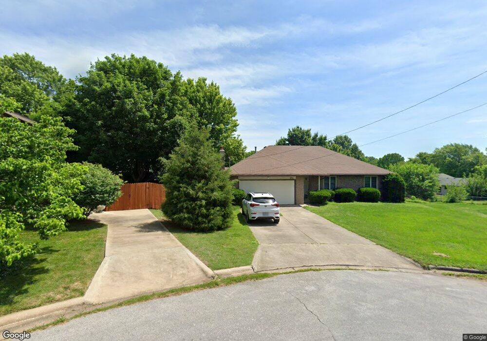
1831 E Vail Cir Springfield, MO 65803
Estimated Value: $237,000 - $269,000
3
Beds
2
Baths
1,629
Sq Ft
$151/Sq Ft
Est. Value
About This Home
This home is located at 1831 E Vail Cir, Springfield, MO 65803 and is currently estimated at $246,554, approximately $151 per square foot. 1831 E Vail Cir is a home located in Greene County with nearby schools including Pleasant View K-8 School, Hillcrest High School, and Dayspring Christian School.
Ownership History
Date
Name
Owned For
Owner Type
Purchase Details
Closed on
Aug 26, 2019
Sold by
Hook Terry Wayne
Bought by
Sneed Jacob and Sneed Dellini
Current Estimated Value
Home Financials for this Owner
Home Financials are based on the most recent Mortgage that was taken out on this home.
Original Mortgage
$127,000
Outstanding Balance
$111,694
Interest Rate
3.8%
Mortgage Type
VA
Estimated Equity
$134,860
Create a Home Valuation Report for This Property
The Home Valuation Report is an in-depth analysis detailing your home's value as well as a comparison with similar homes in the area
Purchase History
| Date | Buyer | Sale Price | Title Company |
|---|---|---|---|
| Sneed Jacob | $127,000 | None Available |
Source: Public Records
Mortgage History
| Date | Status | Borrower | Loan Amount |
|---|---|---|---|
| Open | Sneed Jacob | $127,000 |
Source: Public Records
Tax History
| Year | Tax Paid | Tax Assessment Tax Assessment Total Assessment is a certain percentage of the fair market value that is determined by local assessors to be the total taxable value of land and additions on the property. | Land | Improvement |
|---|---|---|---|---|
| 2025 | $1,726 | $31,920 | $8,320 | $23,600 |
| 2024 | $1,582 | $27,320 | $4,180 | $23,140 |
| 2023 | $1,573 | $27,320 | $4,180 | $23,140 |
| 2022 | $1,434 | $24,400 | $4,180 | $20,220 |
| 2021 | $1,372 | $24,400 | $4,180 | $20,220 |
| 2020 | $1,319 | $22,270 | $4,180 | $18,090 |
| 2019 | $1,282 | $22,270 | $4,180 | $18,090 |
| 2018 | $1,152 | $19,910 | $3,230 | $16,680 |
| 2017 | $1,141 | $19,910 | $3,230 | $16,680 |
| 2016 | $1,139 | $19,910 | $3,230 | $16,680 |
| 2015 | $1,131 | $19,910 | $3,230 | $16,680 |
| 2014 | $1,120 | $19,740 | $3,230 | $16,510 |
Source: Public Records
Map
Nearby Homes
- 1923 E Valley Water Mill Rd
- 3839 N Stewart Ave
- 3975 N Stewart Ave
- 4260 N State Highway H
- 3424 N Darwin Ave
- 3749 N Pickwick Ave
- 3753 N Pickwick Ave
- 3333 N Delaware Ave
- 3983 N Courtney Cir
- 1349 E Stoneridge St
- 2393 E Valley Water Mill Rd
- 1270 E Ogorman Ct
- 1255 E Bonaire Dr
- 1414 E Smith St
- 1502 E McClernon St
- 3957 N Springlawn Ave
- 3969 N Springlawn Ave
- 1339 E McClernon St
- 1626 E Farm Road 92
- Tract C N Farm Road 173
- 3662 N Stewart Ave
- 1850 E Arlington Dr
- 1844 E Arlington Dr
- 3643 N Aspen Cir
- 1832 E Arlington Dr
- 3649 N Aspen Cir
- 3637 N Aspen Cir
- 1902 E Arlington Dr
- 1824 E Arlington Dr
- 3632 N Stewart Ave
- 3631 N Aspen Cir
- 3657 N Stewart Ave
- 3649 N Stewart Ave
- 1853 E Arlington Dr
- 3701 N Stewart Ave
- 1849 E Arlington Dr
- 3641 N Stewart Ave
- 1861 E Arlington Dr
- 3624 N Stewart Ave
- 1839 E Arlington Dr
Your Personal Tour Guide
Ask me questions while you tour the home.