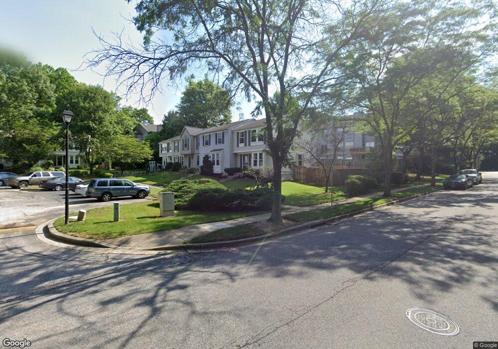
1831 Log Mill Place Crofton, MD 21114
Estimated Value: $351,972 - $401,000
Studio
3
Baths
1,126
Sq Ft
$342/Sq Ft
Est. Value
About This Home
This home is located at 1831 Log Mill Place, Crofton, MD 21114 and is currently estimated at $384,993, approximately $341 per square foot. 1831 Log Mill Place is a home located in Anne Arundel County with nearby schools including Crofton Meadows Elementary School, Crofton Middle School, and Crofton High School.
Ownership History
Date
Name
Owned For
Owner Type
Purchase Details
Closed on
Sep 10, 2004
Sold by
Wright Franklin H
Bought by
Anderson William
Current Estimated Value
Purchase Details
Closed on
Dec 14, 2001
Sold by
Milne Bill
Bought by
Wright Franklin H and Feinberg Kelly L
Purchase Details
Closed on
Jan 10, 1992
Sold by
Ryland Group Inc
Bought by
Milne Bill
Home Financials for this Owner
Home Financials are based on the most recent Mortgage that was taken out on this home.
Original Mortgage
$123,625
Interest Rate
8.23%
Create a Home Valuation Report for This Property
The Home Valuation Report is an in-depth analysis detailing your home's value as well as a comparison with similar homes in the area
Home Values in the Area
Average Home Value in this Area
Purchase History
| Date | Buyer | Sale Price | Title Company |
|---|---|---|---|
| Anderson William | $249,900 | -- | |
| Wright Franklin H | $145,900 | -- | |
| Milne Bill | $122,800 | -- |
Source: Public Records
Mortgage History
| Date | Status | Borrower | Loan Amount |
|---|---|---|---|
| Previous Owner | Milne Bill | $123,625 |
Source: Public Records
Tax History
| Year | Tax Paid | Tax Assessment Tax Assessment Total Assessment is a certain percentage of the fair market value that is determined by local assessors to be the total taxable value of land and additions on the property. | Land | Improvement |
|---|---|---|---|---|
| 2025 | $2,922 | $295,933 | -- | -- |
| 2024 | $2,922 | $281,967 | -- | -- |
| 2023 | $2,832 | $268,000 | $140,000 | $128,000 |
| 2022 | $2,796 | $267,600 | $0 | $0 |
| 2020 | $2,531 | $266,800 | $140,000 | $126,800 |
| 2019 | $4,860 | $255,467 | $0 | $0 |
| 2018 | $2,476 | $244,133 | $0 | $0 |
| 2017 | $2,304 | $232,800 | $0 | $0 |
| 2016 | -- | $226,133 | $0 | $0 |
| 2015 | -- | $219,467 | $0 | $0 |
| 2014 | -- | $212,800 | $0 | $0 |
Source: Public Records
Map
Nearby Homes
- 1928 Tilghman Dr
- 1681 Yorktown Ct
- 1822 Foxdale Ct
- 1753 Castleford Square
- 1910 Seven Oaks Terrace
- 1746 Underwood Rd
- 2004 Cambridge Dr
- 1648 New Windsor Ct
- 2059 Happy Ln Unit E
- 1426 Knights Bridge Turn
- 2517 Chelmsford Dr
- 1762 Lang Dr
- 1683 Hart Ct
- 1860 Yeoman Ct
- 2508 Stow Ct
- 1521 Fenway Rd
- 1600 Twigs Ct
- 1306 Persimmontree Ct
- 1555 Crofton Pkwy
- 2313 Westport Ln
- 1829 Log Mill Place
- 1833 Log Mill Place
- 1827 Log Mill Place
- 1825 Log Mill Place
- 1825 Log Mill Place Unit 1
- 1846 Whites Ferry Place Unit 2
- 1846 Whites Ferry Place
- 1844 Whites Ferry Place
- 1844 Whites Ferry Place Unit 3
- 1842 Whites Ferry Place
- 1842 Whites Ferry Place Unit 4
- 1848 Whites Ferry Place
- 1840 Whites Ferry Place Unit 5
- 1840 Whites Ferry Place
- 1828 Whites Ferry Place
- 1830 Whites Ferry Place
- 1821 Log Mill Place
- 1832 Whites Ferry Place
- 1834 Whites Ferry Place
- 1819 Log Mill Place
Your Personal Tour Guide
Ask me questions while you tour the home.