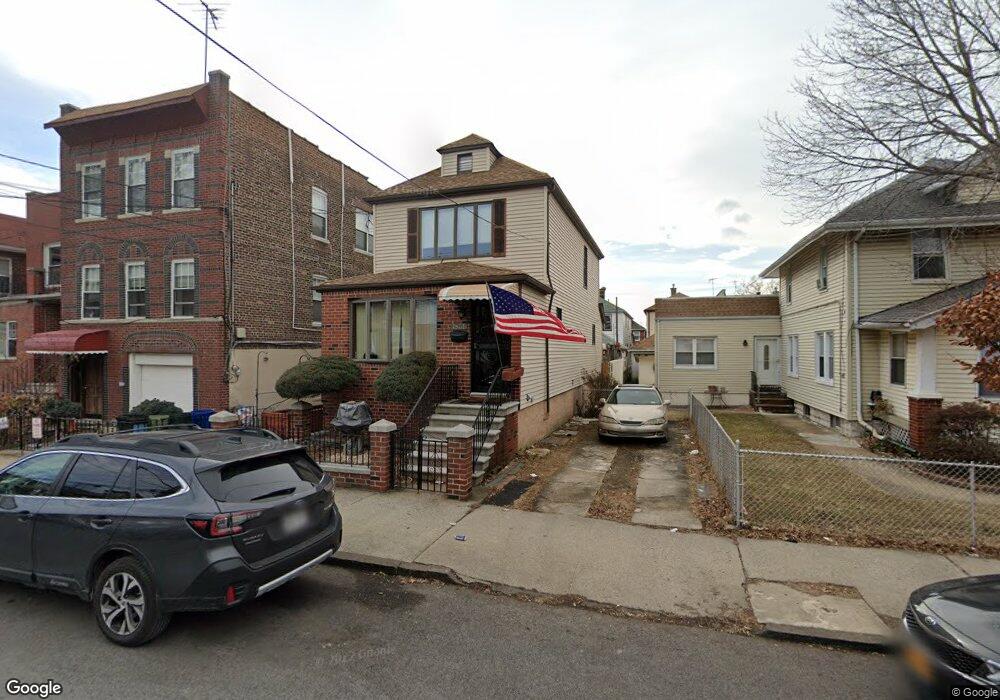
1831 Lurting Ave Bronx, NY 10461
Morris Park NeighborhoodEstimated Value: $734,000 - $818,000
--
Bed
--
Bath
1,512
Sq Ft
$510/Sq Ft
Est. Value
About This Home
This home is located at 1831 Lurting Ave, Bronx, NY 10461 and is currently estimated at $770,563, approximately $509 per square foot. 1831 Lurting Ave is a home located in Bronx County with nearby schools including P.S. 083 The Donald Hertz School, Icahn Charter School 2, and St. Clare of Assisi School.
Ownership History
Date
Name
Owned For
Owner Type
Purchase Details
Closed on
Jan 22, 2013
Sold by
Geller Debra and Geller Richard
Bought by
Geller Richard
Current Estimated Value
Home Financials for this Owner
Home Financials are based on the most recent Mortgage that was taken out on this home.
Original Mortgage
$675,000
Outstanding Balance
$470,862
Interest Rate
3.44%
Mortgage Type
Commercial
Estimated Equity
$299,701
Create a Home Valuation Report for This Property
The Home Valuation Report is an in-depth analysis detailing your home's value as well as a comparison with similar homes in the area
Home Values in the Area
Average Home Value in this Area
Purchase History
| Date | Buyer | Sale Price | Title Company |
|---|---|---|---|
| Geller Richard | -- | -- |
Source: Public Records
Mortgage History
| Date | Status | Borrower | Loan Amount |
|---|---|---|---|
| Open | Geller Richard | $675,000 |
Source: Public Records
Tax History Compared to Growth
Tax History
| Year | Tax Paid | Tax Assessment Tax Assessment Total Assessment is a certain percentage of the fair market value that is determined by local assessors to be the total taxable value of land and additions on the property. | Land | Improvement |
|---|---|---|---|---|
| 2025 | $5,301 | $31,999 | $7,295 | $24,704 |
| 2024 | $5,301 | $30,191 | $8,063 | $22,128 |
| 2023 | $5,126 | $28,483 | $7,172 | $21,311 |
| 2022 | $4,706 | $40,560 | $10,560 | $30,000 |
| 2021 | $4,944 | $35,760 | $10,560 | $25,200 |
| 2020 | $5,644 | $30,960 | $10,560 | $20,400 |
| 2019 | $5,263 | $29,460 | $10,560 | $18,900 |
| 2018 | $4,839 | $23,736 | $8,776 | $14,960 |
| 2017 | $4,565 | $22,394 | $7,594 | $14,800 |
| 2016 | $4,477 | $22,394 | $8,624 | $13,770 |
| 2015 | $2,328 | $22,222 | $10,172 | $12,050 |
| 2014 | $2,328 | $20,966 | $9,665 | $11,301 |
Source: Public Records
Map
Nearby Homes
- 1859 Hone Ave
- 1819 Haight Ave
- 1832 Haight Ave
- 1004 Rhinelander Ave
- 1725 Hone Ave
- 1917 Lurting Ave
- 1725 Paulding Ave
- 1116 Rhinelander Ave
- 1818 Tomlinson Ave
- 1903 Tomlinson Ave
- 1855 Williamsbridge Rd
- 1726 Radcliff Ave
- 1846 Williamsbridge Rd
- 987 van Nest Ave
- 1963 Hone Ave
- 1958 Colden Ave
- 1639 Hone Ave
- 959 van Nest Ave
- 1657 Colden Ave
- 930 Morris Park Ave
- 1829 Lurting Ave
- 1837 Lurting Ave
- 1827 Lurting Ave
- 1825 Lurting Ave
- 1839 Lurting Ave
- 1830 Hone Ave
- 1823 Lurting Ave
- 1841 Lurting Ave
- 1832 Hone Ave
- 1824 Hone Ave
- 1834 Hone Ave
- 1822 Hone Ave
- 1836 Hone Ave
- 1820 Hone Ave
- 1819 Lurting Ave
- 1843 Lurting Ave
- 1838 Hone Ave
- 1818 Hone Ave
- 1845 Lurting Ave
- 1830 Lurting Ave