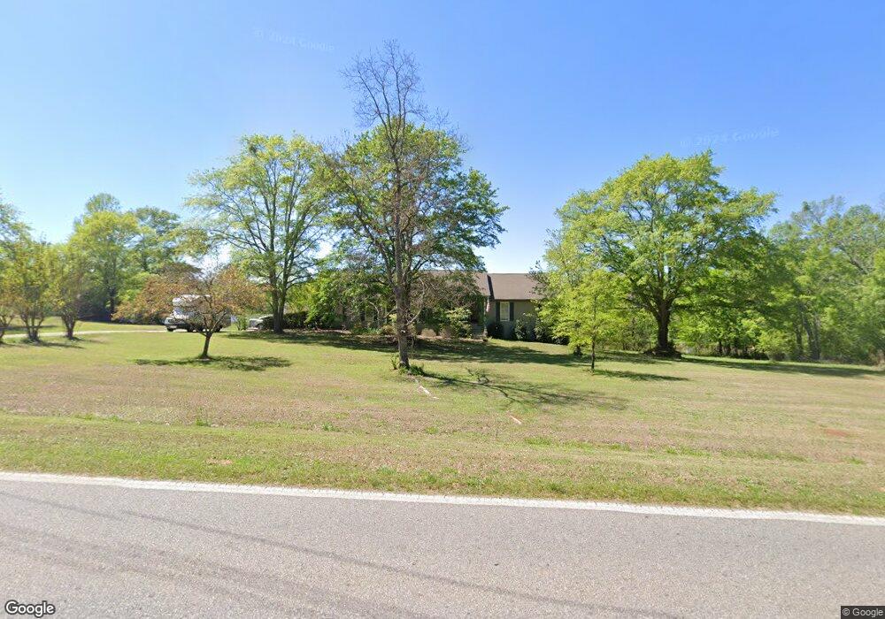
1831 Malcom Bridge Rd Bogart, GA 30622
Estimated Value: $575,000 - $710,000
4
Beds
4
Baths
2,124
Sq Ft
$298/Sq Ft
Est. Value
About This Home
This home is located at 1831 Malcom Bridge Rd, Bogart, GA 30622 and is currently estimated at $633,500, approximately $298 per square foot. 1831 Malcom Bridge Rd is a home located in Oconee County with nearby schools including Malcom Bridge Elementary School, Malcom Bridge Middle School, and North Oconee High School.
Ownership History
Date
Name
Owned For
Owner Type
Purchase Details
Closed on
Feb 1, 2008
Sold by
Not Provided
Bought by
Bischoff Robert J and Bischoff Janet A
Current Estimated Value
Home Financials for this Owner
Home Financials are based on the most recent Mortgage that was taken out on this home.
Original Mortgage
$190,000
Outstanding Balance
$119,847
Interest Rate
6.06%
Mortgage Type
New Conventional
Estimated Equity
$513,653
Purchase Details
Closed on
May 31, 2002
Sold by
Patterson Donald F
Bought by
Patterson Lisa Faye
Purchase Details
Closed on
Apr 19, 2000
Sold by
Sosbee Roy Lee
Bought by
Patterson Donald F
Create a Home Valuation Report for This Property
The Home Valuation Report is an in-depth analysis detailing your home's value as well as a comparison with similar homes in the area
Home Values in the Area
Average Home Value in this Area
Purchase History
| Date | Buyer | Sale Price | Title Company |
|---|---|---|---|
| Bischoff Robert J | $300,000 | -- | |
| Patterson Lisa Faye | -- | -- | |
| Patterson Donald F | $265,000 | -- |
Source: Public Records
Mortgage History
| Date | Status | Borrower | Loan Amount |
|---|---|---|---|
| Open | Bischoff Robert J | $190,000 |
Source: Public Records
Tax History Compared to Growth
Tax History
| Year | Tax Paid | Tax Assessment Tax Assessment Total Assessment is a certain percentage of the fair market value that is determined by local assessors to be the total taxable value of land and additions on the property. | Land | Improvement |
|---|---|---|---|---|
| 2024 | $3,121 | $188,285 | $65,160 | $123,125 |
| 2023 | $3,481 | $175,856 | $60,334 | $115,522 |
| 2022 | $3,184 | $150,433 | $48,268 | $102,165 |
| 2021 | $3,110 | $136,324 | $43,880 | $92,444 |
| 2020 | $2,926 | $128,189 | $39,891 | $88,298 |
| 2019 | $2,716 | $119,149 | $34,687 | $84,462 |
| 2018 | $2,548 | $109,588 | $31,534 | $78,054 |
| 2017 | $2,284 | $98,423 | $26,278 | $72,145 |
| 2016 | $2,206 | $95,138 | $23,890 | $71,248 |
| 2015 | $2,203 | $94,814 | $23,890 | $70,924 |
| 2014 | $2,147 | $90,398 | $21,718 | $68,680 |
| 2013 | -- | $88,669 | $21,419 | $67,249 |
Source: Public Records
Map
Nearby Homes
- 1496 Malcom Estates Dr
- 1224 Malcom Estates Point Unit Lot 67
- 2165 Harperfield Dr
- 1105 Harperfield Dr
- 1895 Vintage Place
- 1491 Virgil Langford Rd
- 1010 Long Creek Dr
- 1479 Mcfall Ct
- 1071 Oaklake Cir
- 1381 Mayfair Way
- 1190 Wareview Ct
- 3065 Brookhaven Dr
- 1021 Bedford Trail
- 1336 Prince Place
- 0 Clotfelter Rd Unit 1025303
- 2082 Wade Dr
- 0 Malcom Bridge Rd Unit CM940815
- 00 5 Ac On Malcom Bridge Rd
- 00 5 Acres On Malcom Bridge Rd
- 0 Malcom Bridge Rd Unit CM932403
- 0 Malcom Bridge Rd Unit CM929468
- 0 Malcom Bridge Rd Unit 947672
- 0 Malcom Bridge Rd Unit 984959
- 0 Malcom Bridge Rd Unit 8459908
- 0 Malcom Bridge Rd Unit 7616950
- 0 Malcom Bridge Rd Unit 3186483
- 0 Malcom Bridge Rd Unit 7029732
- 0 Malcom Bridge Rd Unit 7025744
- 0 Malcom Bridge Rd Unit 9063068
- 0 Malcom Bridge Rd Unit 9062857
- 0 Malcom Bridge Rd Unit 8982812
- 0 Malcom Bridge Rd Unit 8776329
- 0 Malcom Bridge Rd Unit 2927365
- 0 Malcom Bridge Rd Unit 7430353
- 0 Malcom Bridge Rd Unit 8321659
- 1741 Malcom Bridge Rd Unit LOT 43