1831 N Bunn Rd Unit Bldg-Unit Hillsdale, MI 49242
Estimated Value: $166,000 - $281,000
3
Beds
2
Baths
1,368
Sq Ft
$156/Sq Ft
Est. Value
About This Home
This home is located at 1831 N Bunn Rd Unit Bldg-Unit, Hillsdale, MI 49242 and is currently estimated at $213,181, approximately $155 per square foot. 1831 N Bunn Rd Unit Bldg-Unit is a home located in Hillsdale County with nearby schools including Bailey Early Childhood Center, Gier Elementary School, and Davis Middle School.
Ownership History
Date
Name
Owned For
Owner Type
Purchase Details
Closed on
Mar 9, 2009
Sold by
U S Bank National Association
Bought by
Potter Craig L and Potter Linda J
Current Estimated Value
Home Financials for this Owner
Home Financials are based on the most recent Mortgage that was taken out on this home.
Original Mortgage
$37,600
Outstanding Balance
$23,858
Interest Rate
5.09%
Mortgage Type
Future Advance Clause Open End Mortgage
Estimated Equity
$189,323
Purchase Details
Closed on
Apr 21, 1995
Bought by
Land Desc
Create a Home Valuation Report for This Property
The Home Valuation Report is an in-depth analysis detailing your home's value as well as a comparison with similar homes in the area
Home Values in the Area
Average Home Value in this Area
Purchase History
| Date | Buyer | Sale Price | Title Company |
|---|---|---|---|
| Potter Craig L | $47,000 | Attorneys Title Agency Llc | |
| Land Desc | -- | -- |
Source: Public Records
Mortgage History
| Date | Status | Borrower | Loan Amount |
|---|---|---|---|
| Open | Potter Craig L | $37,600 |
Source: Public Records
Tax History Compared to Growth
Tax History
| Year | Tax Paid | Tax Assessment Tax Assessment Total Assessment is a certain percentage of the fair market value that is determined by local assessors to be the total taxable value of land and additions on the property. | Land | Improvement |
|---|---|---|---|---|
| 2025 | -- | $64,663 | $0 | $64,663 |
| 2024 | -- | $54,271 | $0 | $54,271 |
| 2023 | -- | $47,412 | $0 | $47,412 |
| 2022 | -- | $42,384 | $0 | $42,384 |
| 2021 | $910 | $70,644 | $26,196 | $44,448 |
| 2020 | $910 | $57,870 | $0 | $0 |
| 2019 | $870 | $48,470 | $0 | $0 |
| 2018 | $772 | $42,610 | $0 | $0 |
| 2017 | $39 | $45,710 | $0 | $0 |
| 2016 | $39 | $37,230 | $0 | $0 |
| 2015 | $394 | $37,230 | $0 | $0 |
| 2013 | $381 | $38,360 | $0 | $0 |
| 2012 | $340 | $31,010 | $0 | $0 |
Source: Public Records
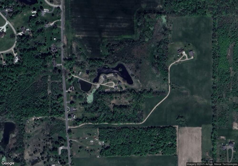
Map
Nearby Homes
- 2298 Pondbrooke Dr
- 1741 N Bunn Rd
- 3900 W Bacon Rd
- 3440 W Bacon Rd
- 3190 W Bacon Rd
- 4300 W Bacon Rd
- 2931 W Hallett Rd
- 3544 Mechanic Rd
- 4190 Fitzpatrick Rd
- 1391 S Lake Wilson Rd
- 1806 Barr St
- 108 Stony Ridge Ct
- 4048 Bankers Rd
- 181 Spring St
- 3911 W Carleton Rd
- 3150 Bankers Rd
- 97 W Hallett St
- 32 Mcclellan St
- 55 Mcclellan St
- 104 Mcclellan St
- 1831 N Bunn Rd
- 1811 N Bunn Rd
- 1759 N Bunn Rd
- 1755 N Bunn Rd
- 1860 N Bunn Rd
- 1841 N Bunn Rd
- 1870 N Bunn Rd
- 1752 N Bunn Rd
- 1881 N Bunn Rd
- 1725 N Bunn Rd
- 1716 N Bunn Rd
- 1980 N Bunn Rd
- 2276 Pondbrooke Dr
- 2276 Pondbrooke Dr
- 2280 Pondbrooke Dr
- 2280 Pondbrooke Dr
- 2273 Pondbrooke Dr
- 2273 Pondbrooke Dr
- 2000 Block N Bunn Rd Unit 1
- 2270 Pondbrooke Dr