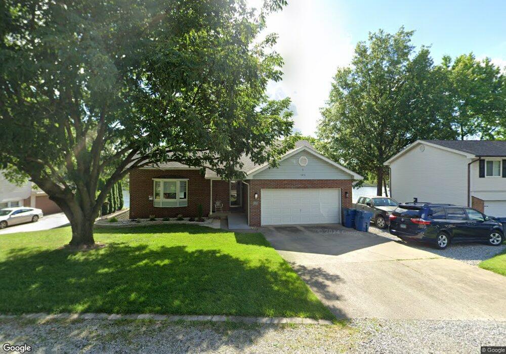
1831 Port Ln Worden, IL 62097
Estimated Value: $436,000 - $500,000
4
Beds
3
Baths
1,812
Sq Ft
$257/Sq Ft
Est. Value
About This Home
This home is located at 1831 Port Ln, Worden, IL 62097 and is currently estimated at $464,923, approximately $256 per square foot. 1831 Port Ln is a home located in Madison County with nearby schools including Midway Elementary School, Worden Elementary School, and Lincoln Middle School.
Ownership History
Date
Name
Owned For
Owner Type
Purchase Details
Closed on
Jan 3, 2014
Sold by
Suhre Karen A
Bought by
Spitze Daniel and Hellmann Spitze Teresa
Current Estimated Value
Home Financials for this Owner
Home Financials are based on the most recent Mortgage that was taken out on this home.
Original Mortgage
$150,000
Outstanding Balance
$113,718
Interest Rate
4.5%
Mortgage Type
New Conventional
Estimated Equity
$351,205
Purchase Details
Closed on
Oct 12, 2010
Sold by
Suhre Karen A
Bought by
Suhre Karen A
Home Financials for this Owner
Home Financials are based on the most recent Mortgage that was taken out on this home.
Original Mortgage
$201,900
Interest Rate
3.25%
Mortgage Type
New Conventional
Purchase Details
Closed on
Feb 9, 2006
Sold by
Suhre Karen A and Krist Karen A
Bought by
Suhre Karen A
Purchase Details
Closed on
Aug 8, 2005
Sold by
Chapman Ervin W and Chapman Sandra J
Bought by
Krist Karen A
Home Financials for this Owner
Home Financials are based on the most recent Mortgage that was taken out on this home.
Original Mortgage
$216,000
Interest Rate
5.66%
Mortgage Type
Fannie Mae Freddie Mac
Purchase Details
Closed on
Nov 2, 2004
Sold by
Chapman Ervin W and Chapman Sandra J
Bought by
Ervin W & Sandra J Chapman Revocable Tru
Create a Home Valuation Report for This Property
The Home Valuation Report is an in-depth analysis detailing your home's value as well as a comparison with similar homes in the area
Home Values in the Area
Average Home Value in this Area
Purchase History
| Date | Buyer | Sale Price | Title Company |
|---|---|---|---|
| Spitze Daniel | $245,000 | First American Title Ins Co | |
| Suhre Karen A | -- | None Available | |
| Suhre Karen A | -- | None Available | |
| Krist Karen A | $270,000 | First American Title Ins Co | |
| Ervin W & Sandra J Chapman Revocable Tru | -- | First American Title Ins Co |
Source: Public Records
Mortgage History
| Date | Status | Borrower | Loan Amount |
|---|---|---|---|
| Open | Spitze Daniel | $150,000 | |
| Previous Owner | Suhre Karen A | $201,900 | |
| Previous Owner | Krist Karen A | $216,000 |
Source: Public Records
Tax History Compared to Growth
Tax History
| Year | Tax Paid | Tax Assessment Tax Assessment Total Assessment is a certain percentage of the fair market value that is determined by local assessors to be the total taxable value of land and additions on the property. | Land | Improvement |
|---|---|---|---|---|
| 2024 | $7,024 | $118,280 | $34,790 | $83,490 |
| 2023 | $7,024 | $108,310 | $31,860 | $76,450 |
| 2022 | $6,856 | $98,890 | $29,090 | $69,800 |
| 2021 | $6,179 | $95,150 | $27,990 | $67,160 |
| 2020 | $5,894 | $90,390 | $26,590 | $63,800 |
| 2019 | $5,851 | $89,360 | $26,290 | $63,070 |
| 2018 | $5,630 | $83,630 | $24,600 | $59,030 |
| 2017 | $5,495 | $80,770 | $23,760 | $57,010 |
| 2016 | $4,865 | $80,770 | $23,760 | $57,010 |
| 2015 | $4,656 | $79,930 | $23,510 | $56,420 |
| 2014 | $4,656 | $79,930 | $23,510 | $56,420 |
| 2013 | $4,656 | $78,940 | $23,220 | $55,720 |
Source: Public Records
Map
Nearby Homes
- 1982 Sextant Dr
- 1934 Brigantine Cir
- 1802 Captains Dr
- 1019 Bermuda Dr
- 1738 Fountainbleu Dr
- 1149 Bermuda Dr
- 1145 Nassau Dr
- 1366 Biscay Dr
- 1396 Britany Ct
- 1590 Su Twan Dr
- 405 Westview Dr
- 1302 Carribean Dr
- 1411 Biscay Dr
- 1602 Waikiki Dr
- 321 High Point Dr
- 0 Birchwood Lot 9 Dr Unit MAR24071295
- 0 Birchwood Lot 7 Dr Unit MAR24071279
- 0 River Birch Lot 6 Dr Unit MAR24071268
- 588 Westview Dr
- 606 Westview Dr
- 1832 Port Ln
- 1830 Port Ln
- 1833 Sextant Dr
- 1829 Port Ln
- 1816 Port Ln
- 1834 Sextant Dr
- 1834 Sextant Dr
- 1828 Port Ln
- 1818 Port Ln
- 1921 Sextant Dr
- 1835 Sextant Dr
- 1918 Sextant Dr
- 1827 Port Ln
- 1937 Sextant Dr
- 1815 Sextant Dr
- 1820 Port Ln
- 2090 Anchor Ln
- 1938 Sextant Dr
- 1836 Sextant Dr
- 1919 Sextant 1918 Captain's