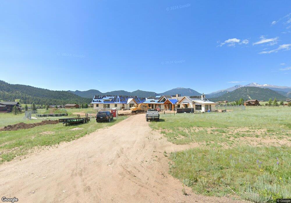
1831 Stonegate Dr Estes Park, CO 80517
Estimated Value: $1,049,000 - $1,897,198
3
Beds
5
Baths
5,176
Sq Ft
$285/Sq Ft
Est. Value
About This Home
This home is located at 1831 Stonegate Dr, Estes Park, CO 80517 and is currently estimated at $1,473,099, approximately $284 per square foot. 1831 Stonegate Dr is a home located in Larimer County with nearby schools including Estes Park K-5 School, Estes Park Middle School, and Estes Park High School.
Ownership History
Date
Name
Owned For
Owner Type
Purchase Details
Closed on
Jun 13, 2018
Sold by
Lopez Eduardo J and Lopez Eva M
Bought by
Fulton Tommy Gene and Fulton Laurie Paige
Current Estimated Value
Purchase Details
Closed on
Jun 28, 2006
Sold by
Earnshaw Lawrence L and Earnshaw Ruby J
Bought by
Lopez Eduardo J and Lopez Eva M
Home Financials for this Owner
Home Financials are based on the most recent Mortgage that was taken out on this home.
Original Mortgage
$232,500
Interest Rate
6.58%
Mortgage Type
Purchase Money Mortgage
Purchase Details
Closed on
Feb 6, 1998
Sold by
Schmidt Lester
Bought by
Earnshaw Lawrence L and Earnshaw Ruby J
Purchase Details
Closed on
Sep 1, 1994
Sold by
Shelton Cecil
Bought by
Schmidt Lester
Create a Home Valuation Report for This Property
The Home Valuation Report is an in-depth analysis detailing your home's value as well as a comparison with similar homes in the area
Home Values in the Area
Average Home Value in this Area
Purchase History
| Date | Buyer | Sale Price | Title Company |
|---|---|---|---|
| Fulton Tommy Gene | $340,000 | Fidelity National Title | |
| Lopez Eduardo J | $310,000 | None Available | |
| Earnshaw Lawrence L | $149,000 | -- | |
| Schmidt Lester | $105,000 | -- |
Source: Public Records
Mortgage History
| Date | Status | Borrower | Loan Amount |
|---|---|---|---|
| Previous Owner | Lopez Eduardo J | $232,500 |
Source: Public Records
Tax History
| Year | Tax Paid | Tax Assessment Tax Assessment Total Assessment is a certain percentage of the fair market value that is determined by local assessors to be the total taxable value of land and additions on the property. | Land | Improvement |
|---|---|---|---|---|
| 2025 | $3,942 | $137,801 | $31,563 | $106,238 |
| 2024 | $3,897 | $58,873 | $33,835 | $25,038 |
| 2022 | $6,982 | $93,670 | $93,670 | $0 |
| 2021 | $6,968 | $93,670 | $93,670 | $0 |
| 2020 | $7,006 | $92,800 | $92,800 | $0 |
| 2019 | $6,954 | $92,800 | $92,800 | $0 |
| 2018 | $7,288 | $94,250 | $94,250 | $0 |
| 2017 | $7,329 | $94,250 | $94,250 | $0 |
| 2016 | $6,532 | $87,000 | $87,000 | $0 |
| 2015 | $6,450 | $87,000 | $87,000 | $0 |
| 2014 | $5,962 | $82,650 | $82,650 | $0 |
Source: Public Records
Map
Nearby Homes
- 1770 Gray Hawk Ct
- 880 Crabapple Ln
- 1630 Continental Peaks Cir
- 1640 Continental Peaks Cir
- 1728 Continental Peaks Cir
- 1720 Continental Peaks Cir
- 1616 Continental Peaks Cir
- 1734 Wildfire Rd Unit 102
- 1734 Wildfire Rd Unit 301
- 1707 Continental Peaks Cir
- 1665 Continental Peaks Cir
- 1750 Continental Peaks Cir
- 1760 Continental Peaks Cir
- 1770 Continental Peaks Cir
- 1780 Continental Peaks Cir
- 1790 Continental Peaks Cir
- 1802 Wildfire Rd Unit 204
- 1700 Continental Peaks Cir
- 1690 Continental Peaks Cir
- 1680 Continental Peaks Cir
- 1865 Stonegate Dr
- 1723 Stonegate Dr
- 1877 Ptarmigan Trail
- 1844 Stonegate Dr
- 1830 Stonegate Dr
- 1717 Ptarmigan Trail
- 1903 Ptarmigan Trail
- 0 Ptarmigan Trail
- 1722 Stonegate Dr
- 1926 Stonegate Dr
- 1681 Ptarmigan Ln
- 1915 Ptarmigan Trail
- 1856 Stonegate Dr
- 1868 Stonegate Dr
- 1645 Ptarmigan Ln
- 1711 Stonegate Dr
- 1710 Stonegate Dr
- 1901 Ptarmigan Trail
- 1680 Ptarmigan Ln
- 1730 Devils Gulch Rd
Your Personal Tour Guide
Ask me questions while you tour the home.