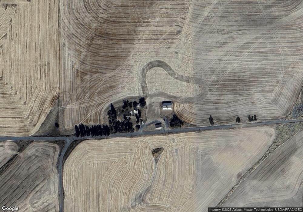
18311 E Adams Rd Fairfield, WA 99012
Estimated Value: $469,000 - $710,000
3
Beds
1
Bath
1,100
Sq Ft
$557/Sq Ft
Est. Value
About This Home
This home is located at 18311 E Adams Rd, Fairfield, WA 99012 and is currently estimated at $612,286, approximately $556 per square foot. 18311 E Adams Rd is a home located in Spokane County with nearby schools including Liberty Elementary/Junior High School and Liberty High School.
Ownership History
Date
Name
Owned For
Owner Type
Purchase Details
Closed on
Aug 21, 2019
Sold by
Henry Treede Supporting Organization Fnd
Bought by
Hemmingson Farms Llc
Current Estimated Value
Home Financials for this Owner
Home Financials are based on the most recent Mortgage that was taken out on this home.
Original Mortgage
$1,789,500
Outstanding Balance
$1,567,271
Interest Rate
3.7%
Mortgage Type
Commercial
Estimated Equity
-$954,985
Purchase Details
Closed on
Mar 4, 2002
Sold by
Washington Trust Bank
Bought by
Henry Treede Supporting Organization and Henry Fou
Create a Home Valuation Report for This Property
The Home Valuation Report is an in-depth analysis detailing your home's value as well as a comparison with similar homes in the area
Purchase History
| Date | Buyer | Sale Price | Title Company |
|---|---|---|---|
| Hemmingson Farms Llc | $3,578,989 | Spokane County Title Company | |
| Henry Treede Supporting Organization | -- | -- |
Source: Public Records
Mortgage History
| Date | Status | Borrower | Loan Amount |
|---|---|---|---|
| Open | Hemmingson Farms Llc | $1,789,500 |
Source: Public Records
Tax History
| Year | Tax Paid | Tax Assessment Tax Assessment Total Assessment is a certain percentage of the fair market value that is determined by local assessors to be the total taxable value of land and additions on the property. | Land | Improvement |
|---|---|---|---|---|
| 2025 | $2,812 | $647,460 | $375,760 | $271,700 |
| 2024 | $2,812 | $617,460 | $375,760 | $241,700 |
| 2023 | $2,639 | $637,100 | $386,300 | $250,800 |
| 2022 | $2,669 | $621,900 | $386,300 | $235,600 |
| 2021 | $2,683 | $477,650 | $287,150 | $190,500 |
| 2020 | $2,587 | $423,370 | $251,070 | $172,300 |
| 2019 | $2,413 | $410,370 | $251,070 | $159,300 |
| 2018 | $2,756 | $356,560 | $201,460 | $155,100 |
| 2017 | $2,532 | $341,860 | $201,460 | $140,400 |
| 2016 | $2,163 | $327,560 | $201,460 | $126,100 |
| 2015 | $2,221 | $292,380 | $165,380 | $127,000 |
| 2014 | -- | $285,980 | $165,380 | $120,600 |
| 2013 | -- | $0 | $0 | $0 |
Source: Public Records
Map
Nearby Homes
- 735 N Main St
- 209 E Ticknor St
- 11900 E Hays Rd Unit Lot A - Parcel 9030
- 38521 Tekoa Idaho Rd Unit 39204 Cove Rd
- 19207 S Harvard Rd
- NKA Merideth
- 1047 Merideth Rd
- 199 Bremerman Ln
- XXXXX Vacant Land
- 32311 S North Pine Creek Rd
- 521 N Ramsey Rd
- 231 W Poplar St
- 105 Sprague St
- lot 1 Mundt Rd
- NNA Mundt Rd
- NKA E Stringham Rd
- 218 Cliff Ct
- LOT 4 Pebblestone Dr
- XXX Truax St
- 121 Lake St
Your Personal Tour Guide
Ask me questions while you tour the home.
