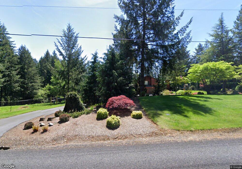
18313 NE 219th St Battle Ground, WA 98604
Estimated Value: $734,419 - $804,000
4
Beds
3
Baths
1,681
Sq Ft
$458/Sq Ft
Est. Value
About This Home
This home is located at 18313 NE 219th St, Battle Ground, WA 98604 and is currently estimated at $769,105, approximately $457 per square foot. 18313 NE 219th St is a home located in Clark County with nearby schools including Tukes Valley Primary School, Tukes Valley Middle School, and Battle Ground High School.
Ownership History
Date
Name
Owned For
Owner Type
Purchase Details
Closed on
Nov 25, 2002
Sold by
Norum Wayne T and Norum Elaine
Bought by
Osborn Donald and Osborn Kimberly
Current Estimated Value
Home Financials for this Owner
Home Financials are based on the most recent Mortgage that was taken out on this home.
Original Mortgage
$203,650
Outstanding Balance
$86,722
Interest Rate
6.12%
Estimated Equity
$682,383
Create a Home Valuation Report for This Property
The Home Valuation Report is an in-depth analysis detailing your home's value as well as a comparison with similar homes in the area
Home Values in the Area
Average Home Value in this Area
Purchase History
| Date | Buyer | Sale Price | Title Company |
|---|---|---|---|
| Osborn Donald | $254,600 | Fidelity National Title |
Source: Public Records
Mortgage History
| Date | Status | Borrower | Loan Amount |
|---|---|---|---|
| Open | Osborn Donald | $203,650 |
Source: Public Records
Tax History Compared to Growth
Tax History
| Year | Tax Paid | Tax Assessment Tax Assessment Total Assessment is a certain percentage of the fair market value that is determined by local assessors to be the total taxable value of land and additions on the property. | Land | Improvement |
|---|---|---|---|---|
| 2025 | $5,591 | $750,867 | $307,936 | $442,931 |
| 2024 | $5,003 | $673,773 | $307,936 | $365,837 |
| 2023 | $5,305 | $692,320 | $321,545 | $370,775 |
| 2022 | $4,943 | $671,290 | $294,350 | $376,940 |
| 2021 | $4,977 | $544,781 | $209,314 | $335,467 |
| 2020 | $4,963 | $501,634 | $224,103 | $277,531 |
| 2019 | $4,315 | $488,054 | $211,163 | $276,891 |
| 2018 | $4,996 | $487,364 | $0 | $0 |
| 2017 | $4,275 | $429,688 | $0 | $0 |
| 2016 | $4,292 | $401,471 | $0 | $0 |
| 2015 | $4,287 | $370,022 | $0 | $0 |
| 2014 | -- | $349,626 | $0 | $0 |
| 2013 | -- | $318,501 | $0 | $0 |
Source: Public Records
Map
Nearby Homes
- 22814 NE 182nd Ave
- 21405 NE 167th Ave
- 20205 NE 190th Ave
- 22405 NE 167th Ave
- 19911 NE 179th Ct
- 20015 NE 234th St
- 18426 NE 191st Cir
- 0 NE 212th Ave
- 19815 NE Allworth Rd
- 16105 NE 241st Cir
- 21017 NE Risto Rd
- 18205 NE 249th St
- 19301 NE 249th St
- 2312 SE Eaton Blvd
- 2004 SE 15th St
- 20607 NE Allworth Rd
- 19119 NE 204th Ave
- 1308 NE 18th Ave
- 18511 NE 181st St
- 2344 SE 27th St
- 21619 NE 182nd Ave
- 21707 NE 182nd Ave
- 18301 NE 219th St
- 18503 NE 219th St
- 21415 NE 182nd Ave
- 21706 NE 182nd Ave
- 18114 NE 215th St
- 21716 NE 182nd Ave
- 21909 NE 182nd Ave
- 18605 NE 219th St
- 21413 NE 182nd Ave
- 18012 NE 215th St
- 21912 NE 182nd Ave
- 18107 NE 215th St
- 18610 NE 219th St
- 18709 NE 219th St
- 17917 NE 219th St
- 22008 NE 182nd Ave
- 17916 NE 215th St (S)
- 17916 NE 215th St