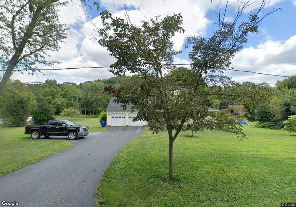
18313 Preston Rd New Freedom, PA 17349
Estimated Value: $444,451 - $495,000
3
Beds
3
Baths
2,100
Sq Ft
$225/Sq Ft
Est. Value
About This Home
This home is located at 18313 Preston Rd, New Freedom, PA 17349 and is currently estimated at $473,363, approximately $225 per square foot. 18313 Preston Rd is a home located in York County with nearby schools including Susquehannock High School, Shrewsbury Christian Academy, and St John The Baptist Catholic School.
Ownership History
Date
Name
Owned For
Owner Type
Purchase Details
Closed on
Feb 19, 1999
Sold by
Vencil William C and Vencil Colleen R
Bought by
Bobbitt Jay N and Bobbitt Denise J
Current Estimated Value
Home Financials for this Owner
Home Financials are based on the most recent Mortgage that was taken out on this home.
Original Mortgage
$163,680
Outstanding Balance
$38,775
Interest Rate
6.75%
Estimated Equity
$434,588
Purchase Details
Closed on
Apr 12, 1994
Bought by
Vencil William L
Create a Home Valuation Report for This Property
The Home Valuation Report is an in-depth analysis detailing your home's value as well as a comparison with similar homes in the area
Home Values in the Area
Average Home Value in this Area
Purchase History
| Date | Buyer | Sale Price | Title Company |
|---|---|---|---|
| Bobbitt Jay N | $190,000 | -- | |
| Vencil William L | $185,500 | -- |
Source: Public Records
Mortgage History
| Date | Status | Borrower | Loan Amount |
|---|---|---|---|
| Open | Bobbitt Jay N | $163,680 |
Source: Public Records
Tax History Compared to Growth
Tax History
| Year | Tax Paid | Tax Assessment Tax Assessment Total Assessment is a certain percentage of the fair market value that is determined by local assessors to be the total taxable value of land and additions on the property. | Land | Improvement |
|---|---|---|---|---|
| 2025 | $7,111 | $256,960 | $70,350 | $186,610 |
| 2024 | $6,908 | $256,960 | $70,350 | $186,610 |
| 2023 | $6,908 | $256,960 | $70,350 | $186,610 |
| 2022 | $6,908 | $256,960 | $70,350 | $186,610 |
| 2021 | $6,636 | $256,960 | $70,350 | $186,610 |
| 2020 | $6,636 | $256,960 | $70,350 | $186,610 |
| 2019 | $6,579 | $256,960 | $70,350 | $186,610 |
| 2018 | $6,458 | $256,960 | $70,350 | $186,610 |
| 2017 | $6,340 | $256,960 | $70,350 | $186,610 |
| 2016 | $0 | $256,960 | $70,350 | $186,610 |
| 2015 | -- | $256,960 | $70,350 | $186,610 |
| 2014 | -- | $256,960 | $70,350 | $186,610 |
Source: Public Records
Map
Nearby Homes
- 2 Dutton Rd
- 21525 York Rd
- 21618 York Rd
- 21521 York Rd
- 452 Hilltop Ct
- 606 Freeland Rd
- 677 Keller Rd
- MARGATE York Rd
- Hamilton York Rd
- 17453 Reddale Dr
- 521 Windy Hill Rd
- Lot #1 Norland Way Unit COVINGTON
- 111 Penny Ln
- 17217 Russett Farm Dr
- 318 Eliza Rd
- 411 Peggy Ln
- 15 Foundry Rd
- 20834 Old York Rd
- 0 Five Forks Rd Unit PAYK2095070
- 0 Five Forks Rd Unit PAYK2095050
- 18273 Preston Rd
- 18349 Preston Rd
- 18310 Preston Rd
- 18380 Preston Rd
- 4 Hayfield Ct
- 3 Heritage Farm Dr
- 3 Hayfield Ct
- 5 Hayfield Ct
- 2 Hayfield Ct
- 5 Heritage Farm Dr
- 1 Hayfield Ct
- 18497 Preston Rd
- 7 Heritage Farm Dr
- 7 Heritage Farm Dr
- 7B Heritage Farm Dr
- 18117 Fielding Ct
- 3 Still Pond Dr
- 18101 Fielding Ct
- 1 Still Pond Dr
- 4 Heritage Farm Dr