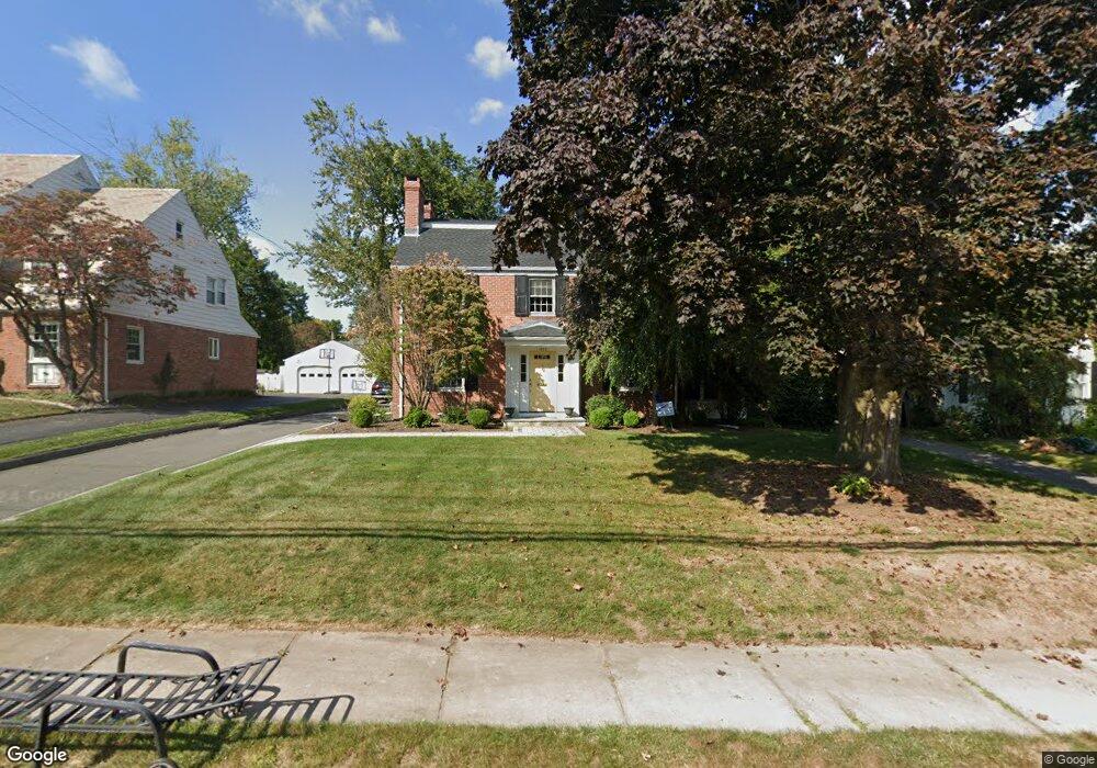
1832 Asylum Ave West Hartford, CT 06117
Estimated Value: $560,000 - $731,000
4
Beds
3
Baths
2,443
Sq Ft
$276/Sq Ft
Est. Value
About This Home
This home is located at 1832 Asylum Ave, West Hartford, CT 06117 and is currently estimated at $673,466, approximately $275 per square foot. 1832 Asylum Ave is a home located in Hartford County with nearby schools including Morley School, King Philip Middle School, and Hall High School.
Ownership History
Date
Name
Owned For
Owner Type
Purchase Details
Closed on
Apr 28, 2006
Sold by
Harris Frederick B and Harris Jori P
Bought by
Steinberg Adam and Steinberg Amy
Current Estimated Value
Purchase Details
Closed on
May 28, 2004
Sold by
Kremidas Steve H and Kremidas Tara E
Bought by
Harris Frederick B and Harris Jori P
Purchase Details
Closed on
Aug 28, 1995
Sold by
Farrell Edward and Farrell Susan
Bought by
Kremidas Steve and Kremidas Tara
Purchase Details
Closed on
Aug 17, 1987
Sold by
Kneller Gloria W
Bought by
Farrell E J
Create a Home Valuation Report for This Property
The Home Valuation Report is an in-depth analysis detailing your home's value as well as a comparison with similar homes in the area
Home Values in the Area
Average Home Value in this Area
Purchase History
| Date | Buyer | Sale Price | Title Company |
|---|---|---|---|
| Steinberg Adam | $467,500 | -- | |
| Harris Frederick B | $400,000 | -- | |
| Kremidas Steve | $190,000 | -- | |
| Farrell E J | $280,000 | -- |
Source: Public Records
Mortgage History
| Date | Status | Borrower | Loan Amount |
|---|---|---|---|
| Open | Farrell E J | $402,550 | |
| Closed | Farrell E J | $412,000 |
Source: Public Records
Tax History Compared to Growth
Tax History
| Year | Tax Paid | Tax Assessment Tax Assessment Total Assessment is a certain percentage of the fair market value that is determined by local assessors to be the total taxable value of land and additions on the property. | Land | Improvement |
|---|---|---|---|---|
| 2025 | $13,447 | $300,280 | $90,700 | $209,580 |
| 2024 | $12,717 | $300,280 | $90,700 | $209,580 |
| 2023 | $12,287 | $300,280 | $90,700 | $209,580 |
| 2022 | $12,215 | $300,280 | $90,700 | $209,580 |
| 2021 | $12,198 | $287,560 | $90,700 | $196,860 |
| 2020 | $12,020 | $287,560 | $92,300 | $195,260 |
| 2019 | $12,020 | $287,560 | $92,260 | $195,300 |
| 2018 | $11,790 | $287,560 | $92,260 | $195,300 |
| 2017 | $11,801 | $287,560 | $92,260 | $195,300 |
| 2016 | $11,857 | $300,090 | $98,490 | $201,600 |
| 2015 | $11,496 | $300,090 | $98,490 | $201,600 |
| 2014 | $11,214 | $300,090 | $98,490 | $201,600 |
Source: Public Records
Map
Nearby Homes
- 1294 Trout Brook Dr
- 129 Middlebrook Rd
- 62 Blue Ridge Ln
- 1272 Trout Brook Dr
- 1268 Trout Brook Dr
- 132 N Main St
- 47 Flagg Rd
- 11 Lawler Rd
- 2581 Albany Ave
- 30 Farmstead Ln
- 1196 Trout Brook Dr
- 56 Fox Chase Ln
- 139 Mohawk Dr
- 50 Magnolia Hill
- 1110 Trout Brook Dr
- 3 Pilgrim Rd
- 183 Loomis Dr Unit 109
- 11 Rye Ridge Pkwy
- 3 Trumbull Ln
- 105 Ardmore Rd
- 1836 Asylum Ave
- 1828 Asylum Ave
- 1838 Asylum Ave
- 7 Sunny Slope Dr
- 7 Lincoln Ave
- 9 Sunny Slope Dr
- 11 Sunny Slope Dr
- 1829 Asylum Ave
- 1833 Asylum Ave
- 3 Sunny Slope Dr
- 1840 Asylum Ave
- 1827 Asylum Ave
- 1837 Asylum Ave
- 1825 Asylum Ave
- 8 Brighton Rd
- 4 Brighton Rd
- 2 Lincoln Ave
- 1841 Asylum Ave
- 10 Brighton Rd
- 1823 Asylum Ave