1832 Fox Ridge Dr E Springfield, OH 45503
Estimated Value: $243,000 - $270,000
2
Beds
2
Baths
1,623
Sq Ft
$158/Sq Ft
Est. Value
About This Home
This home is located at 1832 Fox Ridge Dr E, Springfield, OH 45503 and is currently estimated at $255,971, approximately $157 per square foot. 1832 Fox Ridge Dr E is a home located in Clark County with nearby schools including Northridge Elementary School, Kenton Ridge Middle & High School, and Emmanuel Christian Academy.
Ownership History
Date
Name
Owned For
Owner Type
Purchase Details
Closed on
Jan 8, 2013
Sold by
Mcfarland Norma Jean
Bought by
Hopkins Megan Elizabeth
Current Estimated Value
Home Financials for this Owner
Home Financials are based on the most recent Mortgage that was taken out on this home.
Original Mortgage
$107,350
Outstanding Balance
$73,597
Interest Rate
3.3%
Mortgage Type
New Conventional
Estimated Equity
$182,374
Purchase Details
Closed on
Nov 4, 1994
Sold by
Miki Hufford Co Inc
Bought by
Hutslar Lois B
Create a Home Valuation Report for This Property
The Home Valuation Report is an in-depth analysis detailing your home's value as well as a comparison with similar homes in the area
Home Values in the Area
Average Home Value in this Area
Purchase History
| Date | Buyer | Sale Price | Title Company |
|---|---|---|---|
| Hopkins Megan Elizabeth | $113,000 | None Available | |
| Hopkins Megan Elizabeth | $113,000 | None Available | |
| Hutslar Lois B | $93,456 | -- | |
| Hutslar Lois B | $93,456 | -- |
Source: Public Records
Mortgage History
| Date | Status | Borrower | Loan Amount |
|---|---|---|---|
| Open | Hopkins Megan Elizabeth | $107,350 |
Source: Public Records
Tax History
| Year | Tax Paid | Tax Assessment Tax Assessment Total Assessment is a certain percentage of the fair market value that is determined by local assessors to be the total taxable value of land and additions on the property. | Land | Improvement |
|---|---|---|---|---|
| 2025 | $2,307 | $82,120 | $13,480 | $68,640 |
| 2024 | $2,232 | $52,770 | $11,730 | $41,040 |
| 2023 | $2,232 | $52,770 | $11,730 | $41,040 |
| 2022 | $2,240 | $52,770 | $11,730 | $41,040 |
| 2021 | $2,262 | $45,170 | $8,750 | $36,420 |
| 2020 | $2,264 | $45,170 | $8,750 | $36,420 |
| 2019 | $2,307 | $45,170 | $8,750 | $36,420 |
| 2018 | $2,148 | $40,370 | $8,930 | $31,440 |
| 2017 | $1,841 | $40,376 | $8,925 | $31,451 |
| 2016 | $1,828 | $40,376 | $8,925 | $31,451 |
| 2015 | $1,775 | $40,201 | $8,750 | $31,451 |
| 2014 | $1,775 | $40,201 | $8,750 | $31,451 |
| 2013 | $1,332 | $40,201 | $8,750 | $31,451 |
Source: Public Records
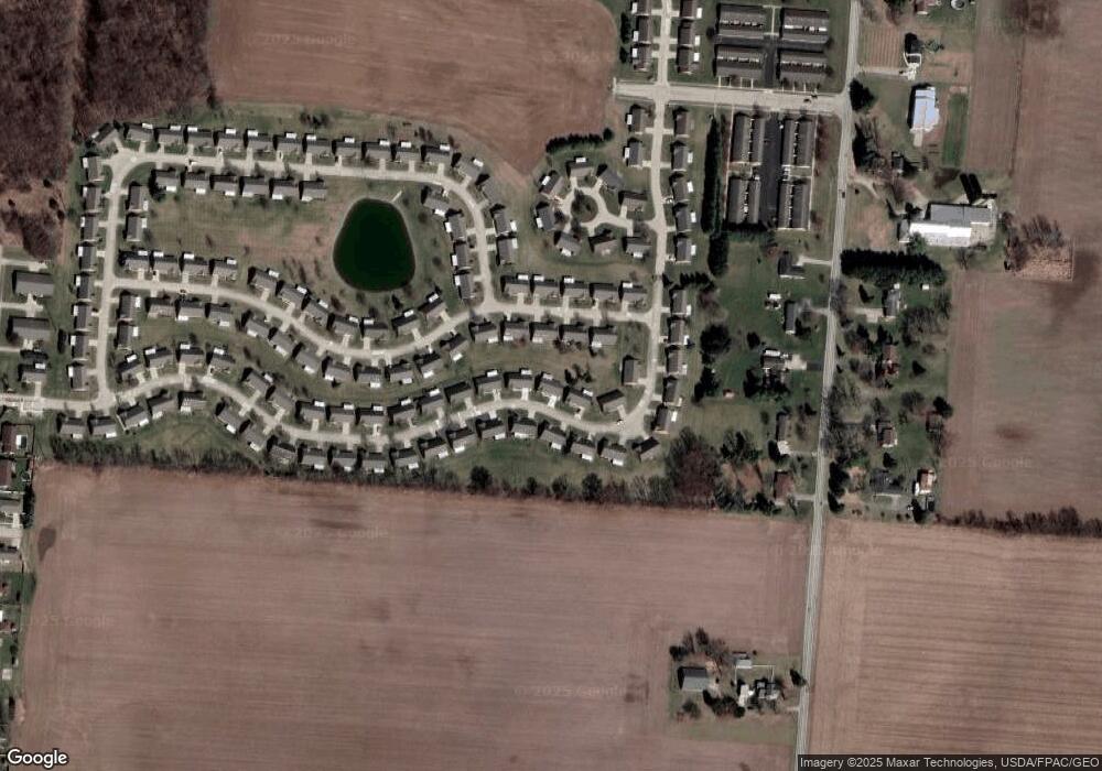
Map
Nearby Homes
- 1977 Willoughby Ave
- 5564 Ridgewood Rd E Unit 7
- 1495 Victorian Way
- 1398 Elizabeth Ct Unit 66
- 5564 Ridgewood Rd W
- 1521 Erika Dr
- 1470 Oldham Dr Unit 12
- 5033 Ridgewood Rd E
- 5235 W Ridgewood Rd
- 4890 Brannan Dr W Unit 4890
- 4732 Lehigh Dr
- 937 Willow Rd
- 4652 Reno Ln Unit 15
- 4802 Willowbrook Dr
- 4577 Reno Ln Unit 2
- 4741 Cullen Ave
- 5300 Brookshire Ln
- 4446 Ridgewood Rd E Unit 3
- 4733 Curtis Dr
- 335 Willow Rd
- 1832 Fox Ridge Dr E
- 1842 Fox Ridge Dr E
- 1842 Fox Ridge Dr E Unit 77
- 1826 Fox Ridge Dr E Unit 79
- 1826 Fox Ridge Dr E
- 1826 Fox Ridge Dr E
- 1823 Fox Ridge Dr E Unit 40
- 1823 Fox Ridge Dr E
- 1835 Fox Ridge Dr E
- 1835 Fox Ridge Dr E Unit 39
- 1839 Berwick Dr
- 1839 Berwick Dr Unit 72
- 1845 Berwick Dr
- 1818 Fox Ridge Dr E Unit 80
- 1818 Fox Ridge Dr E
- 1818 Fox Ridge Dr E
- 1818 Fox Ridge Dr E
- 1852 Fox Ridge Dr E Unit 76
- 1831 Berwick Dr
- 1831 Berwick Dr Unit 71
Your Personal Tour Guide
Ask me questions while you tour the home.