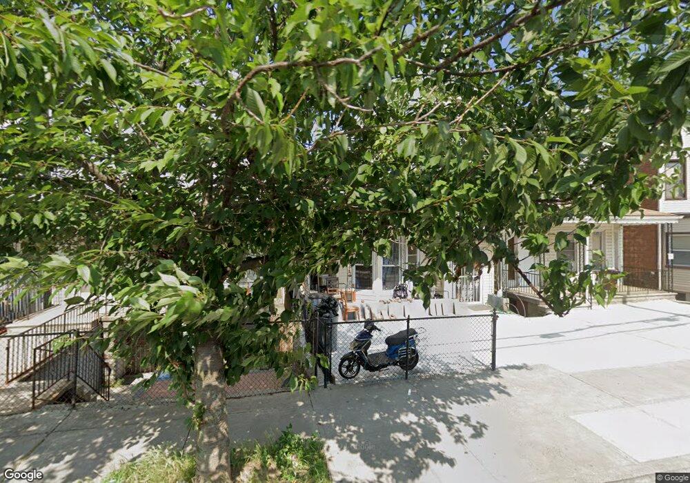
1832 Holland Ave Bronx, NY 10462
Van Nest NeighborhoodEstimated Value: $836,377 - $964,000
About This Home
This home is located at 1832 Holland Ave, Bronx, NY 10462 and is currently estimated at $901,344, approximately $330 per square foot. 1832 Holland Ave is a home located in Bronx County with nearby schools including P.S. 105 Senator Abraham Bernstein, Pelham Academy, and Bronx Green Middle School.
Ownership History
We collect this data history from publicly available records. To have your information removed, we recommend requesting removal directly through your county’s website.
Purchase Details
Home Financials for this Owner
Home Financials are based on the most recent Mortgage that was taken out on this home.Purchase Details
Home Financials for this Owner
Home Financials are based on the most recent Mortgage that was taken out on this home.Purchase Details
Home Financials for this Owner
Home Financials are based on the most recent Mortgage that was taken out on this home.Purchase Details
Home Financials for this Owner
Home Financials are based on the most recent Mortgage that was taken out on this home.Purchase Details
Home Financials for this Owner
Home Financials are based on the most recent Mortgage that was taken out on this home.Home Values in the Area
Average Home Value in this Area
Purchase History
We collect this data history from publicly available records. To have your information removed, we recommend requesting removal directly through your county’s website.
| Date | Buyer | Sale Price | Title Company |
|---|---|---|---|
| $530,000 | -- | ||
| $530,000 | -- | ||
| $355,000 | -- | ||
| $355,000 | -- | ||
| $283,500 | Fidelity National Title Ins | ||
| $206,000 | -- | ||
| $92,000 | Ticor Title Guarantee Compan |
Mortgage History
We collect this data history from publicly available records. To have your information removed, we recommend requesting removal directly through your county’s website.
| Date | Status | Borrower | Loan Amount |
|---|---|---|---|
| Open | $424,000 | ||
| Closed | $424,000 | ||
| Previous Owner | $337,250 | ||
| Previous Owner | $262,800 | ||
| Previous Owner | $164,800 | ||
| Previous Owner | $89,600 |
Tax History
We collect this data history from publicly available records. To have your information removed, we recommend requesting removal directly through your county’s website.
| Year | Tax Paid | Tax Assessment Tax Assessment Total Assessment is a certain percentage of the fair market value that is determined by local assessors to be the total taxable value of land and additions on the property. | Land | Improvement |
|---|---|---|---|---|
| 2026 | $6,631 | $33,264 | $6,063 | $27,201 |
| 2025 | $6,256 | $33,014 | $6,097 | $26,917 |
| 2024 | $6,256 | $31,146 | $6,093 | $25,053 |
| 2023 | $5,967 | $29,383 | $5,846 | $23,537 |
| 2022 | $5,534 | $47,280 | $9,120 | $38,160 |
| 2021 | $5,834 | $46,140 | $9,120 | $37,020 |
| 2020 | $5,823 | $39,900 | $9,120 | $30,780 |
| 2019 | $5,430 | $33,900 | $9,120 | $24,780 |
| 2018 | $4,991 | $24,486 | $6,842 | $17,644 |
| 2017 | $4,709 | $23,100 | $9,120 | $13,980 |
| 2016 | $4,786 | $23,940 | $9,120 | $14,820 |
| 2015 | $2,517 | $23,869 | $8,750 | $15,119 |
| 2014 | $2,517 | $22,519 | $8,552 | $13,967 |
Map
- 1822 Hunt Ave
- 1817 Barnes Ave
- 733 Rhinelander Ave
- 1839 Matthews Ave
- 1914 Holland Ave
- 1871 Matthews Ave
- 1918 Holland Ave
- 1918 Hunt Ave
- 1934 Hunt Ave
- 1923 Barnes Ave
- 1916 Barnes Ave
- 1843 Muliner Ave
- 1837 Victor St
- 1731 White Plains Rd
- 760 van Nest Ave
- 732 van Nest Ave
- 1727 Victor St
- 679 van Nest Ave
- 1823 Amethyst St
- 1961 Wallace Ave
- 1836 Holland Ave
- 1830 Holland Ave
- 1838 Holland Ave
- 1828 Holland Ave
- 1840 Holland Ave
- 1826 Holland Ave
- 1833 Wallace Ave
- 1837 Wallace Ave
- 1842 Holland Ave
- 1822 Holland Ave
- 1839 Wallace Ave
- 1839 Wallace Ave Unit 2
- 1829 Wallace Ave
- 1843 Wallace Ave
- 1827 Wallace Ave
- 1846 Holland Ave
- 1820 Holland Ave
- 1818 Holland Ave Unit 2
- 1818 Holland Ave
- 1845 Wallace Ave
Ask me questions while you tour the home.