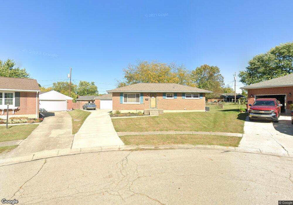
1832 Kimberly Ct Springfield, OH 45503
Estimated Value: $204,349 - $223,000
3
Beds
1
Bath
1,075
Sq Ft
$200/Sq Ft
Est. Value
About This Home
This home is located at 1832 Kimberly Ct, Springfield, OH 45503 and is currently estimated at $215,087, approximately $200 per square foot. 1832 Kimberly Ct is a home located in Clark County with nearby schools including Northridge Elementary School, Kenton Ridge Middle & High School, and Emmanuel Christian Academy.
Ownership History
Date
Name
Owned For
Owner Type
Purchase Details
Closed on
Jul 7, 2023
Sold by
Mills Alan L and Mills Debra R
Bought by
Mills Family Irrevocable Trust and Mills
Current Estimated Value
Purchase Details
Closed on
Jun 24, 1996
Sold by
Koman Christopher F
Bought by
Mills Alan L and Mills Debra
Home Financials for this Owner
Home Financials are based on the most recent Mortgage that was taken out on this home.
Original Mortgage
$78,650
Interest Rate
8.29%
Mortgage Type
New Conventional
Purchase Details
Closed on
May 30, 1986
Create a Home Valuation Report for This Property
The Home Valuation Report is an in-depth analysis detailing your home's value as well as a comparison with similar homes in the area
Home Values in the Area
Average Home Value in this Area
Purchase History
| Date | Buyer | Sale Price | Title Company |
|---|---|---|---|
| Mills Family Irrevocable Trust | -- | None Listed On Document | |
| Mills Family Irrevocable Trust | -- | None Listed On Document | |
| Mills Alan L | $92,550 | -- | |
| -- | $48,900 | -- |
Source: Public Records
Mortgage History
| Date | Status | Borrower | Loan Amount |
|---|---|---|---|
| Previous Owner | Mills Alan L | $78,650 |
Source: Public Records
Tax History
| Year | Tax Paid | Tax Assessment Tax Assessment Total Assessment is a certain percentage of the fair market value that is determined by local assessors to be the total taxable value of land and additions on the property. | Land | Improvement |
|---|---|---|---|---|
| 2025 | $1,760 | $64,550 | $14,530 | $50,020 |
| 2024 | $1,728 | $50,040 | $12,870 | $37,170 |
| 2023 | $1,728 | $50,040 | $12,870 | $37,170 |
| 2022 | $0 | $50,040 | $12,870 | $37,170 |
| 2021 | $1,474 | $38,190 | $9,980 | $28,210 |
| 2020 | $1,476 | $38,190 | $9,980 | $28,210 |
| 2019 | $1,504 | $38,190 | $9,980 | $28,210 |
| 2018 | $1,296 | $33,100 | $9,150 | $23,950 |
| 2017 | $1,110 | $34,507 | $9,153 | $25,354 |
| 2016 | $1,103 | $34,507 | $9,153 | $25,354 |
| 2015 | $1,162 | $34,241 | $8,887 | $25,354 |
| 2014 | $1,162 | $34,241 | $8,887 | $25,354 |
| 2013 | $1,135 | $34,241 | $8,887 | $25,354 |
Source: Public Records
Map
Nearby Homes
- 1921 Elaina Dr
- 1644 Delmar Dr
- 3942 Harris Ln
- 4028 Ryland Dr Unit 4028
- 1811 Saint Andrews Ct
- 1505 Kingsgate Rd
- 1503 Kingsgate Rd
- 1507 Kingsgate Rd
- 4256 Midfield St Unit 9
- 1500 Kingsgate Rd Unit 19430
- 1502 Kingsgate Rd Unit 19432
- 1500 Kingsgate Rd
- 1502 Kingsgate Rd
- 3631 Kingsgate Ln
- 4322 Midfield St Unit 15
- 4446 Ridgewood Rd E Unit 3
- 4577 Reno Ln Unit 2
- 1341 Student Ave
- 4652 Reno Ln Unit 15
- 1201 Kingsgate Rd
- 1838 Kimberly Ct
- 1826 Kimberly Ct
- 1929 Delmar Dr
- 1921 Delmar Dr
- 1915 Delmar Dr
- 1951 Elaina Dr
- 1844 Kimberly Ct
- 1937 Delmar Dr
- 1947 Elaina Dr
- 1821 Kimberly Ct
- 1907 Delmar Dr
- 1941 Elaina Dr
- 3952 Kimberly Dr
- 1813 Kimberly Ct
- 1807 Kimberly Ct
- 1927 Elaina Dr
- 3956 Kimberly Dr
- 1918 Elaina Dr
- 1908 Elaina Dr
- 1801 Kimberly Ct
Your Personal Tour Guide
Ask me questions while you tour the home.