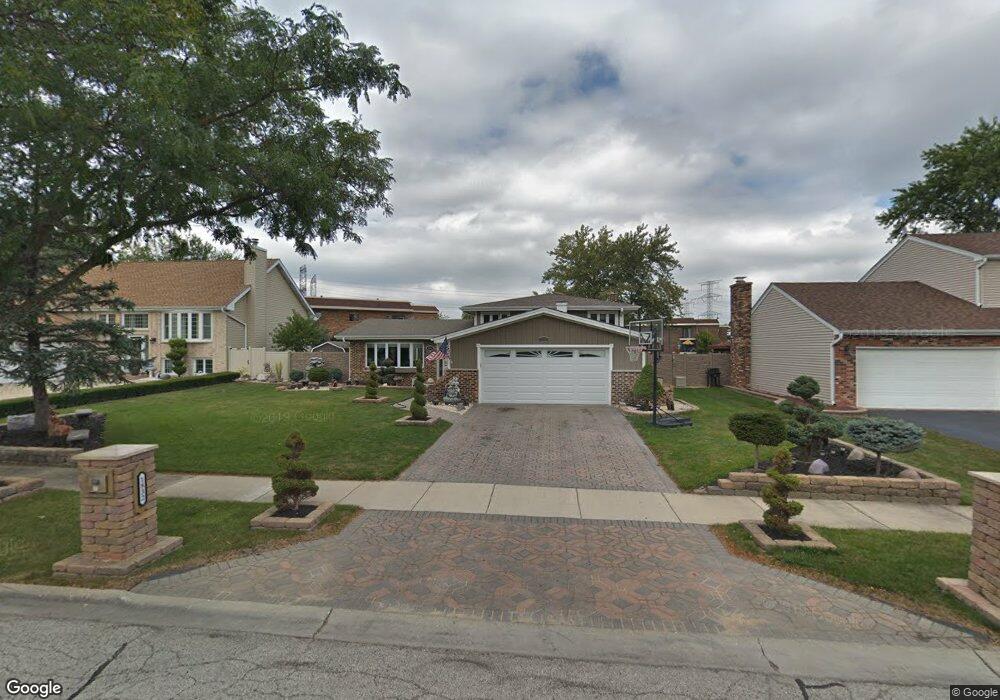
1832 Kings Point Dr N Addison, IL 60101
Estimated Value: $393,320 - $496,000
3
Beds
2
Baths
1,919
Sq Ft
$231/Sq Ft
Est. Value
About This Home
This home is located at 1832 Kings Point Dr N, Addison, IL 60101 and is currently estimated at $444,080, approximately $231 per square foot. 1832 Kings Point Dr N is a home located in DuPage County with nearby schools including Stone Elementary School, Indian Trail Jr High School, and Addison Trail High School.
Ownership History
Date
Name
Owned For
Owner Type
Purchase Details
Closed on
May 12, 1999
Sold by
Bakievski Romeo
Bought by
Bakievski Romeo and Bakievski Kimberly
Current Estimated Value
Purchase Details
Closed on
Jan 10, 1994
Sold by
Altpeter Ronald W and Altpeter Patricia F
Bought by
Bakievski Romeo
Home Financials for this Owner
Home Financials are based on the most recent Mortgage that was taken out on this home.
Original Mortgage
$64,000
Interest Rate
7.35%
Create a Home Valuation Report for This Property
The Home Valuation Report is an in-depth analysis detailing your home's value as well as a comparison with similar homes in the area
Home Values in the Area
Average Home Value in this Area
Purchase History
| Date | Buyer | Sale Price | Title Company |
|---|---|---|---|
| Bakievski Romeo | -- | Chicago Title Insurance Co | |
| Bakievski Romeo | $164,000 | -- |
Source: Public Records
Mortgage History
| Date | Status | Borrower | Loan Amount |
|---|---|---|---|
| Closed | Bakievski Romeo | $64,000 |
Source: Public Records
Tax History
| Year | Tax Paid | Tax Assessment Tax Assessment Total Assessment is a certain percentage of the fair market value that is determined by local assessors to be the total taxable value of land and additions on the property. | Land | Improvement |
|---|---|---|---|---|
| 2024 | $7,787 | $119,060 | $38,491 | $80,569 |
| 2023 | $7,387 | $108,880 | $35,200 | $73,680 |
| 2022 | $7,257 | $104,450 | $34,980 | $69,470 |
| 2021 | $6,893 | $99,230 | $33,230 | $66,000 |
| 2020 | $6,830 | $96,810 | $32,420 | $64,390 |
| 2019 | $6,799 | $93,030 | $31,150 | $61,880 |
| 2018 | $6,505 | $85,850 | $28,620 | $57,230 |
| 2017 | $6,138 | $79,570 | $26,530 | $53,040 |
| 2016 | $5,970 | $73,640 | $24,550 | $49,090 |
| 2015 | $5,882 | $68,720 | $22,910 | $45,810 |
| 2014 | $5,512 | $64,320 | $22,070 | $42,250 |
| 2013 | $5,483 | $66,520 | $22,820 | $43,700 |
Source: Public Records
Map
Nearby Homes
- 953 N Rohlwing Rd Unit GB
- 940 N Rohlwing Rd Unit 201A
- 823 N Harrow Ct
- 865 N Tamarac Blvd
- 881 N Swift Rd Unit 206
- 941 N Swift Rd Unit 302
- 1770 W Windmill Ct
- 1651 W Goldengate Dr
- 5N210 Central Rd
- 1210 N Foxdale Dr Unit 109
- 1354 W Byron Ave Unit D
- 1200 N Foxdale Dr Unit 205
- 1200 N Foxdale Dr Unit 100
- 551 N Plamondon Dr
- 1306 W Byron Ave
- 1259 W Lake St Unit 203
- 1227 N Ashley Ln
- 5N464 Neva Terrace
- 360 Erie Cir
- 1113 N Itasca Rd
- 1828 Kings Point Dr N
- 1836 Kings Point Dr N
- 1838 Kings Point Dr N
- 1826 Kings Point Dr N
- 1827 Kings Point Dr N
- 847 N Wyncroft Place
- 1822 Kings Point Dr N
- 1842 Kings Point Dr N
- 848 N Cambridge Row
- 973 N Route 53 Unit 101A
- 972 N Rohlwing Rd Unit 201A
- 972 N Rohlwing Rd Unit 201B
- 972 N Rohlwing Rd Unit 101
- 972 N Rohlwing Rd Unit GA
- 972 N Rohlwing Rd Unit 101B
- 972 N Rohlwing Rd Unit GB
- 972 N Rohlwing Rd Unit 201E
- 972 N Rohlwing Rd
- 974 N Rohlwing Rd Unit 101B
- 975 N Rohlwing Rd Unit 101A
Your Personal Tour Guide
Ask me questions while you tour the home.