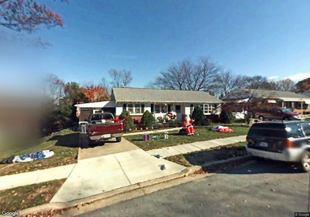
1832 Palo Cir Halethorpe, MD 21227
Estimated Value: $377,461 - $420,000
--
Bed
2
Baths
1,118
Sq Ft
$349/Sq Ft
Est. Value
About This Home
This home is located at 1832 Palo Cir, Halethorpe, MD 21227 and is currently estimated at $390,115, approximately $348 per square foot. 1832 Palo Cir is a home located in Baltimore County with nearby schools including Relay Elementary School, Arbutus Middle School, and Lansdowne High School.
Ownership History
Date
Name
Owned For
Owner Type
Purchase Details
Closed on
Jun 23, 2006
Sold by
Allen Evelyn A
Bought by
Vanorsdale Vernon and Vanorsdale Cynthia A
Current Estimated Value
Home Financials for this Owner
Home Financials are based on the most recent Mortgage that was taken out on this home.
Original Mortgage
$28,600
Outstanding Balance
$16,771
Interest Rate
6.62%
Mortgage Type
Purchase Money Mortgage
Estimated Equity
$373,344
Purchase Details
Closed on
May 23, 2006
Sold by
Allen Evelyn A
Bought by
Vanorsdale Vernon and Vanorsdale Cynthia A
Home Financials for this Owner
Home Financials are based on the most recent Mortgage that was taken out on this home.
Original Mortgage
$28,600
Outstanding Balance
$16,771
Interest Rate
6.62%
Mortgage Type
Purchase Money Mortgage
Estimated Equity
$373,344
Create a Home Valuation Report for This Property
The Home Valuation Report is an in-depth analysis detailing your home's value as well as a comparison with similar homes in the area
Home Values in the Area
Average Home Value in this Area
Purchase History
| Date | Buyer | Sale Price | Title Company |
|---|---|---|---|
| Vanorsdale Vernon | $286,000 | -- | |
| Vanorsdale Vernon | $286,000 | -- |
Source: Public Records
Mortgage History
| Date | Status | Borrower | Loan Amount |
|---|---|---|---|
| Open | Vanorsdale Vernon | $28,600 | |
| Open | Vanorsdale Vernon | $228,000 | |
| Closed | Vanorsdale Vernon | $28,600 | |
| Closed | Vanorsdale Vernon | $228,000 |
Source: Public Records
Tax History Compared to Growth
Tax History
| Year | Tax Paid | Tax Assessment Tax Assessment Total Assessment is a certain percentage of the fair market value that is determined by local assessors to be the total taxable value of land and additions on the property. | Land | Improvement |
|---|---|---|---|---|
| 2025 | $4,040 | $293,033 | -- | -- |
| 2024 | $4,040 | $268,100 | $73,000 | $195,100 |
| 2023 | $1,931 | $259,900 | $0 | $0 |
| 2022 | $3,783 | $251,700 | $0 | $0 |
| 2021 | $3,637 | $243,500 | $73,000 | $170,500 |
| 2020 | $3,637 | $238,433 | $0 | $0 |
| 2019 | $3,651 | $233,367 | $0 | $0 |
| 2018 | $3,449 | $228,300 | $73,000 | $155,300 |
| 2017 | $3,225 | $220,533 | $0 | $0 |
| 2016 | $3,190 | $212,767 | $0 | $0 |
| 2015 | $3,190 | $205,000 | $0 | $0 |
| 2014 | $3,190 | $205,000 | $0 | $0 |
Source: Public Records
Map
Nearby Homes
- 1204 Oakland Ct
- 5742 1st Ave
- 5712 Richardson Mews Square
- 19 Piedmont Ct
- 5701 1st Ave
- 1810 Arbutus Ave
- 1173 Kelfield Dr
- 4606 Ridge Ave
- 5627 Oakland Rd
- 1130 Kelfield Dr
- 6 Ingate Terrace
- 1127 Ingate Rd
- 1132 Ingate Rd
- 1816 Fairview Ave
- 1709 Woodside Ave
- 1942 Catanna Ave
- 1537 S Rolling Rd
- 2040 Northeast Ave
- 1246 Elm Rd
- 1807 Sutton Ave