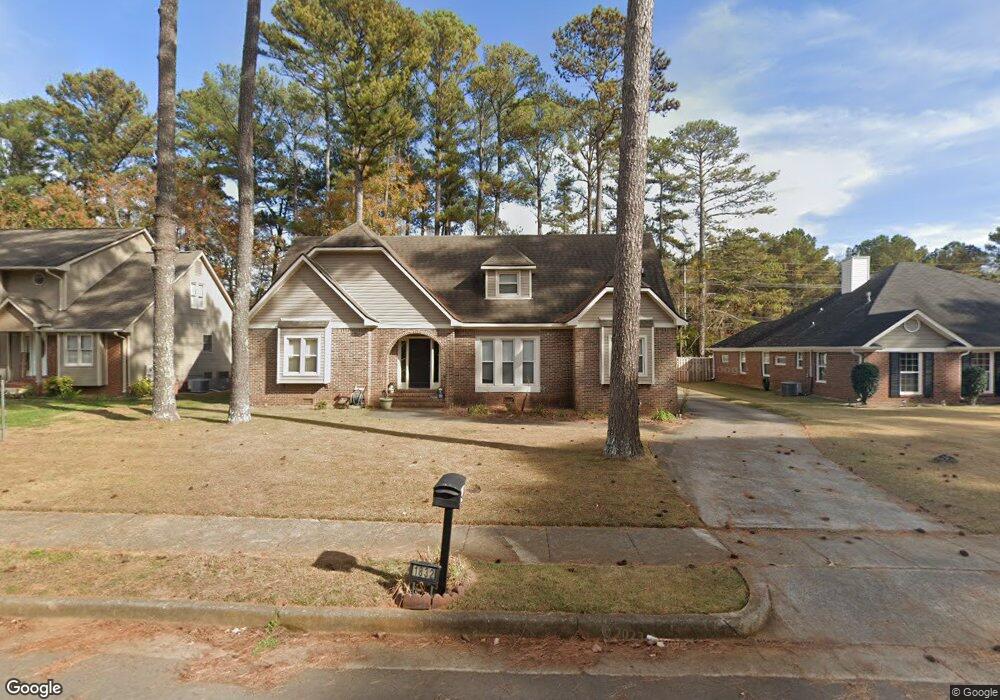
1832 Shellbrook Dr NW Huntsville, AL 35806
Research Park NeighborhoodEstimated Value: $381,000 - $407,000
4
Beds
3
Baths
2,450
Sq Ft
$160/Sq Ft
Est. Value
About This Home
This home is located at 1832 Shellbrook Dr NW, Huntsville, AL 35806 and is currently estimated at $391,980, approximately $159 per square foot. 1832 Shellbrook Dr NW is a home located in Madison County with nearby schools including Providence Elementary School, Williams Middle School, and Columbia High School.
Ownership History
Date
Name
Owned For
Owner Type
Purchase Details
Closed on
Aug 17, 2009
Sold by
Tom Munoz Inc
Bought by
Anderson Rusty A
Current Estimated Value
Home Financials for this Owner
Home Financials are based on the most recent Mortgage that was taken out on this home.
Original Mortgage
$190,988
Outstanding Balance
$124,398
Interest Rate
5.19%
Mortgage Type
New Conventional
Estimated Equity
$267,582
Purchase Details
Closed on
Apr 9, 2009
Sold by
Baraty Hamid
Bought by
Central Mortgage Co
Purchase Details
Closed on
Sep 25, 2006
Sold by
Saied Ali
Bought by
Baraty Hamid
Home Financials for this Owner
Home Financials are based on the most recent Mortgage that was taken out on this home.
Original Mortgage
$144,000
Interest Rate
6.17%
Mortgage Type
New Conventional
Create a Home Valuation Report for This Property
The Home Valuation Report is an in-depth analysis detailing your home's value as well as a comparison with similar homes in the area
Home Values in the Area
Average Home Value in this Area
Purchase History
| Date | Buyer | Sale Price | Title Company |
|---|---|---|---|
| Anderson Rusty A | -- | -- | |
| Central Mortgage Co | $141,470 | -- | |
| Baraty Hamid | -- | -- |
Source: Public Records
Mortgage History
| Date | Status | Borrower | Loan Amount |
|---|---|---|---|
| Open | Anderson Rusty A | $190,988 | |
| Previous Owner | Baraty Hamid | $144,000 |
Source: Public Records
Tax History Compared to Growth
Tax History
| Year | Tax Paid | Tax Assessment Tax Assessment Total Assessment is a certain percentage of the fair market value that is determined by local assessors to be the total taxable value of land and additions on the property. | Land | Improvement |
|---|---|---|---|---|
| 2024 | $1,760 | $31,180 | $6,000 | $25,180 |
| 2023 | $1,760 | $30,260 | $6,000 | $24,260 |
| 2022 | $1,487 | $26,460 | $5,000 | $21,460 |
| 2021 | $1,400 | $24,960 | $5,000 | $19,960 |
| 2020 | $1,292 | $23,090 | $4,500 | $18,590 |
| 2019 | $1,243 | $22,260 | $4,500 | $17,760 |
| 2018 | $1,169 | $20,980 | $0 | $0 |
| 2017 | $1,169 | $20,980 | $0 | $0 |
| 2016 | $1,169 | $20,980 | $0 | $0 |
| 2015 | $1,169 | $20,980 | $0 | $0 |
| 2014 | $1,176 | $21,100 | $0 | $0 |
Source: Public Records
Map
Nearby Homes
- 1916 Shellbrook Dr NW
- 1857 Shellbrook Dr NW
- 14 Cranston St NW
- 14 Pawtucket St NW
- 1 Chalkstone St NW
- 215 Turtle Creek Dr
- 17 Chalkstone St NW
- 21 Braxton St NW
- 30 Beck St NW
- 33 Meeting St
- 17 Biltmore Dr NW
- 445 Providence Main St NW Unit 409
- 63 Town Center Dr NW
- 120 Preswick Place NW
- 52 Pine St NW
- 94 Hillcrest Ave NW
- 38 Pine St NW
- 34 Pine St NW
- 43 Pine St NW
- 21 Bridgham St NW
- 1834 Shellbrook Dr NW
- 1830 Shellbrook Dr NW
- 1836 Shellbrook Dr NW
- 1828 Shellbrook Dr NW
- 1827 Shellbrook Dr NW
- 1831 Shellbrook Dr NW
- 1838 Shellbrook Dr NW
- 1833 Shellbrook Dr NW
- 1825 Shellbrook Dr NW
- 1835 Shellbrook Dr NW
- 100 Cedar Falls Ct
- 1840 Shellbrook Dr NW
- 1826 Shellbrook Dr NW
- 1823 Shellbrook Dr NW
- 1718 Weymouth Ln NW
- 1720 Weymouth Ln NW
- 1837 Shellbrook Dr NW
- 1821 Shellbrook Dr NW
- 1842 Shellbrook Dr NW
- 1722 Weymouth Ln NW