1832 W Union St Canton, PA 17724
Estimated Value: $880,000 - $880,360
4
Beds
2
Baths
4,116
Sq Ft
$214/Sq Ft
Est. Value
About This Home
This home is located at 1832 W Union St, Canton, PA 17724 and is currently estimated at $880,180, approximately $213 per square foot. 1832 W Union St is a home located in Tioga County with nearby schools including Canton Area Elementary School and Canton Junior/Senior High School.
Ownership History
Date
Name
Owned For
Owner Type
Purchase Details
Closed on
Nov 27, 2017
Sold by
Sadlon Margaret
Bought by
Sadlon Bruce R
Current Estimated Value
Home Financials for this Owner
Home Financials are based on the most recent Mortgage that was taken out on this home.
Original Mortgage
$225,000
Interest Rate
3.88%
Mortgage Type
New Conventional
Purchase Details
Closed on
Dec 9, 2010
Sold by
Mobus Robert A and Sadlon Margaret
Bought by
Sadlon Margaret
Create a Home Valuation Report for This Property
The Home Valuation Report is an in-depth analysis detailing your home's value as well as a comparison with similar homes in the area
Home Values in the Area
Average Home Value in this Area
Purchase History
| Date | Buyer | Sale Price | Title Company |
|---|---|---|---|
| Sadlon Bruce R | -- | None Available | |
| Sadlon Margaret | -- | None Available |
Source: Public Records
Mortgage History
| Date | Status | Borrower | Loan Amount |
|---|---|---|---|
| Closed | Sadlon Bruce R | $225,000 |
Source: Public Records
Tax History Compared to Growth
Tax History
| Year | Tax Paid | Tax Assessment Tax Assessment Total Assessment is a certain percentage of the fair market value that is determined by local assessors to be the total taxable value of land and additions on the property. | Land | Improvement |
|---|---|---|---|---|
| 2025 | $6,668 | $486,020 | $44,060 | $441,960 |
| 2024 | $10,909 | $486,020 | $44,060 | $441,960 |
| 2023 | $6,836 | $253,090 | $15,910 | $237,180 |
| 2022 | $6,883 | $253,090 | $15,910 | $237,180 |
| 2021 | $6,875 | $253,090 | $15,910 | $237,180 |
| 2020 | $7,142 | $253,090 | $15,910 | $237,180 |
| 2019 | $6,919 | $253,090 | $15,910 | $237,180 |
| 2018 | $4,256 | $155,400 | $15,910 | $139,490 |
| 2017 | -- | $155,750 | $16,260 | $139,490 |
| 2016 | $4,256 | $210,200 | $70,710 | $139,490 |
| 2015 | -- | $155,750 | $16,260 | $139,490 |
| 2014 | -- | $155,750 | $16,260 | $139,490 |
Source: Public Records
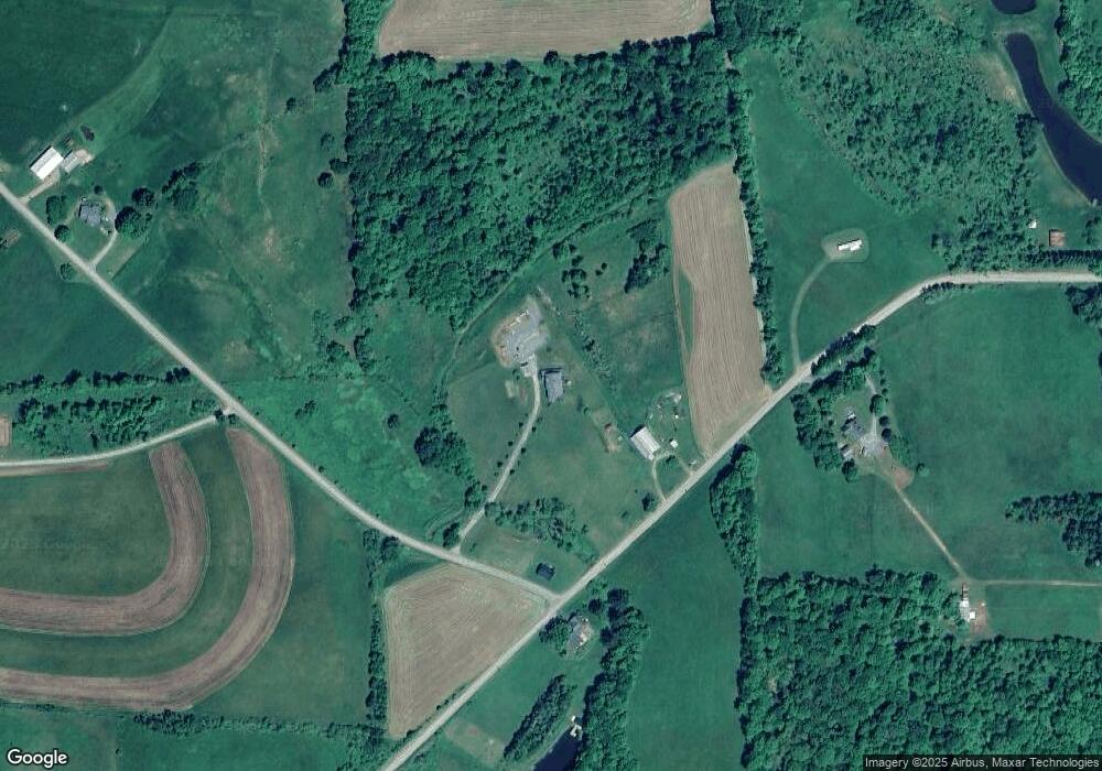
Map
Nearby Homes
- 1616 W Union Rd
- 1616 W Union St
- 55 Clinton St
- 19 Lovell Ln
- 49-51 T-329
- 0 Upper Mountain Rd
- Upper Mountain Rd Lot Unit WP001
- 127 Troy St
- 386 Troy St
- 290 Troy St
- 94 N Center St
- 374 S Minnequa Ave
- 85 N Minnequa Ave
- 108 S Washington St
- 118 E South Ave
- 63 Brann St
- 417 Furman Rd
- 7129 Route 14
- 13632 Route 414
- 1909 Mill Hill Rd
- 1875 W Union St
- 1785 W Union St
- 160 Soper Hill Rd
- 1694 W Union St
- 1679 W Union St
- 97 Soper Hill Rd
- 2030 W Union St
- 1672 W Union St
- 156 Mae Case Rd
- 186 Mae Case Rd
- 51 Porter Rd
- 170 Porter Rd
- 291 Mae Case Rd
- 2171 W Union St
- 389 Mae Case Rd
- 411 Mae Case Rd
- 101 Porter Rd
- 110 Sterling Hill Rd
- 1533 W Union St
- 15607 Route 414