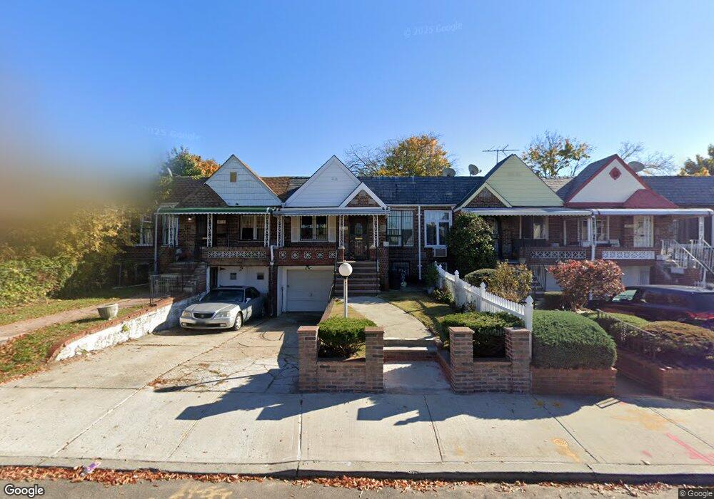
18328 Dunlop Ave Saint Albans, NY 11412
Hollis NeighborhoodEstimated Value: $706,000 - $832,000
--
Bed
--
Bath
1,694
Sq Ft
$445/Sq Ft
Est. Value
About This Home
This home is located at 18328 Dunlop Ave, Saint Albans, NY 11412 and is currently estimated at $754,050, approximately $445 per square foot. 18328 Dunlop Ave is a home located in Queens County with nearby schools including P.S. 118 Lorraine Hansberry, I.S. 192 The Linden, and True Deliverance Christian School.
Ownership History
Date
Name
Owned For
Owner Type
Purchase Details
Closed on
May 1, 2002
Sold by
Moultrie Maxine
Bought by
Powell Junior and Henry Devlyn
Current Estimated Value
Home Financials for this Owner
Home Financials are based on the most recent Mortgage that was taken out on this home.
Original Mortgage
$185,250
Interest Rate
6.64%
Create a Home Valuation Report for This Property
The Home Valuation Report is an in-depth analysis detailing your home's value as well as a comparison with similar homes in the area
Home Values in the Area
Average Home Value in this Area
Purchase History
| Date | Buyer | Sale Price | Title Company |
|---|---|---|---|
| Powell Junior | -- | -- |
Source: Public Records
Mortgage History
| Date | Status | Borrower | Loan Amount |
|---|---|---|---|
| Previous Owner | Powell Junior | $185,250 |
Source: Public Records
Tax History Compared to Growth
Tax History
| Year | Tax Paid | Tax Assessment Tax Assessment Total Assessment is a certain percentage of the fair market value that is determined by local assessors to be the total taxable value of land and additions on the property. | Land | Improvement |
|---|---|---|---|---|
| 2025 | $4,796 | $26,794 | $6,878 | $19,916 |
| 2024 | $4,808 | $25,280 | $7,078 | $18,202 |
| 2023 | $4,572 | $24,163 | $7,492 | $16,671 |
| 2022 | $4,537 | $29,340 | $10,920 | $18,420 |
| 2021 | $4,685 | $27,300 | $10,920 | $16,380 |
| 2020 | $4,430 | $25,500 | $10,920 | $14,580 |
| 2019 | $4,114 | $21,840 | $10,920 | $10,920 |
| 2018 | $3,807 | $20,136 | $10,779 | $9,357 |
| 2017 | $3,805 | $20,136 | $9,695 | $10,441 |
| 2016 | $3,633 | $20,136 | $9,695 | $10,441 |
| 2015 | $2,071 | $18,607 | $10,412 | $8,195 |
| 2014 | $2,071 | $17,556 | $9,823 | $7,733 |
Source: Public Records
Map
Nearby Homes
- 183-29 Brinkerhoff Ave
- 183-12 Elmira Ave
- 183-09 Dunlop Ave
- 183-67 Dunlop Ave
- 183-34 Fonda Ave
- 187-23 Brinkerhoff Ave
- 186-16 Hilburn Ave
- 104-11 188th St
- 188-31 Jordan Ave
- 187-44 Jordan Ave
- 11176 180th St
- 10533 Farmers Blvd
- 18823 Mangin Ave
- 188-25 Mangin Ave
- 102-13 183rd Place
- 188-07 Mangin Ave
- 111-06 Farmers Blvd
- 102-35 187th St
- 19027 109th Rd
- 18833 Keeseville Ave
- 18330 Dunlop Ave
- 18326 Dunlop Ave
- 183-24 Dunlop Ave
- 18324 Dunlop Ave
- 18332 Dunlop Ave
- 18334 Dunlop Ave
- 18322 Dunlop Ave
- 18336 Dunlop Ave
- 18320 Dunlop Ave
- 18320 Dunlop Ave
- 18333 Elmira Ave
- 18337 Elmira Ave
- 18329 Elmira Ave
- 18338 Dunlop Ave
- 18316 Dunlop Ave
- 18341 Elmira Ave
- 18325 Elmira Ave
- 18340 Dunlop Ave
- 18314 Dunlop Ave
- 18345 Elmira Ave