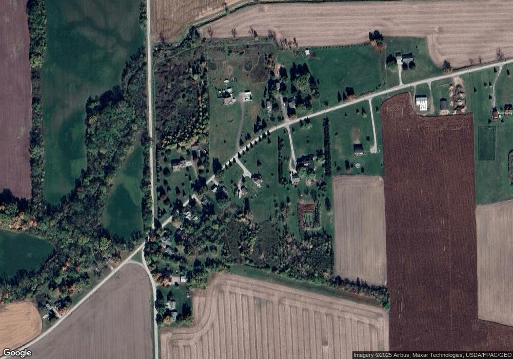
18329 Kent Rd Dundee, MI 48131
Estimated Value: $322,000 - $484,000
3
Beds
3
Baths
1,784
Sq Ft
$213/Sq Ft
Est. Value
About This Home
This home is located at 18329 Kent Rd, Dundee, MI 48131 and is currently estimated at $380,536, approximately $213 per square foot. 18329 Kent Rd is a home located in Monroe County with nearby schools including Dundee Middle School, Dundee Elementary School, and Dundee Community High School.
Ownership History
Date
Name
Owned For
Owner Type
Purchase Details
Closed on
Jul 26, 2017
Sold by
Laginess Dale F and Laginess Linda A
Bought by
Laginess Jeff A and Laginess Chelsea Ann
Current Estimated Value
Home Financials for this Owner
Home Financials are based on the most recent Mortgage that was taken out on this home.
Original Mortgage
$195,750
Outstanding Balance
$162,984
Interest Rate
3.88%
Mortgage Type
Purchase Money Mortgage
Estimated Equity
$217,552
Purchase Details
Closed on
Dec 4, 2002
Sold by
Federal National Mortgage Association
Bought by
Dawson Jeff
Home Financials for this Owner
Home Financials are based on the most recent Mortgage that was taken out on this home.
Original Mortgage
$166,250
Interest Rate
4.37%
Mortgage Type
New Conventional
Purchase Details
Closed on
Aug 29, 2002
Sold by
Servicing Olympus
Bought by
Dawson Jeff
Purchase Details
Closed on
May 24, 2000
Sold by
J J R K Llc
Bought by
Namyslowski Albert and Namyslowski Denise
Create a Home Valuation Report for This Property
The Home Valuation Report is an in-depth analysis detailing your home's value as well as a comparison with similar homes in the area
Home Values in the Area
Average Home Value in this Area
Purchase History
| Date | Buyer | Sale Price | Title Company |
|---|---|---|---|
| Laginess Jeff A | $236,000 | Lawyers Title | |
| Dawson Jeff | $175,000 | -- | |
| Dawson Jeff | $247,602 | -- | |
| Namyslowski Albert | $32,000 | -- |
Source: Public Records
Mortgage History
| Date | Status | Borrower | Loan Amount |
|---|---|---|---|
| Open | Laginess Jeff A | $195,750 | |
| Previous Owner | Dawson Jeff | $166,250 |
Source: Public Records
Tax History
| Year | Tax Paid | Tax Assessment Tax Assessment Total Assessment is a certain percentage of the fair market value that is determined by local assessors to be the total taxable value of land and additions on the property. | Land | Improvement |
|---|---|---|---|---|
| 2025 | $984 | $152,750 | $152,750 | $0 |
| 2024 | $954 | $147,320 | $0 | $0 |
| 2023 | $2,326 | $113,150 | $0 | $0 |
| 2022 | $866 | $113,150 | $0 | $0 |
| 2021 | $2,245 | $119,930 | $0 | $0 |
| 2020 | $2,219 | $98,240 | $0 | $0 |
| 2019 | $811 | $98,240 | $0 | $0 |
| 2018 | $2,128 | $91,970 | $0 | $0 |
| 2017 | $2,028 | $91,970 | $0 | $0 |
| 2016 | $1,993 | $88,900 | $0 | $0 |
| 2015 | $1,980 | $71,700 | $0 | $0 |
| 2014 | $2,048 | $71,700 | $0 | $0 |
| 2013 | $1,999 | $68,110 | $0 | $0 |
Source: Public Records
Map
Nearby Homes
- V/L Wilcox Rd
- 16488 Tecumseh St
- V L Wilcox Rd
- 16484 Tecumseh St
- 0 Tecumseh St
- 179 Timberbrook Ln
- 454 Tecumseh St
- 6859 N Ann Arbor Rd
- 469 Corinth
- 150 Waterstradt Commerce Dr
- 512 Brooks Hollow Ct
- 504 Brooks Hollow Ct
- 626 Plank St
- 5024 Chatsworth St
- 264 Ypsilanti St
- 251 Midway St
- 000 Lloyd Rd
- 1930 Petersburg Rd
- 583 Falcon Dr
- 535 Falcon Dr
Your Personal Tour Guide
Ask me questions while you tour the home.