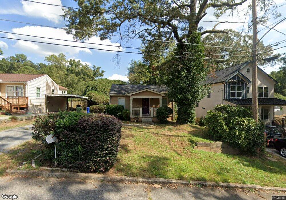
1833 William Place NW Atlanta, GA 30318
Hills Park NeighborhoodEstimated Value: $313,000 - $374,000
2
Beds
2
Baths
945
Sq Ft
$366/Sq Ft
Est. Value
About This Home
This home is located at 1833 William Place NW, Atlanta, GA 30318 and is currently estimated at $345,609, approximately $365 per square foot. 1833 William Place NW is a home located in Fulton County with nearby schools including Bolton Academy, Sutton Middle School, and North Atlanta High School.
Ownership History
Date
Name
Owned For
Owner Type
Purchase Details
Closed on
Jul 23, 2015
Sold by
Craft Amy Hargraves
Bought by
Brunson Trenise N
Current Estimated Value
Home Financials for this Owner
Home Financials are based on the most recent Mortgage that was taken out on this home.
Original Mortgage
$148,265
Outstanding Balance
$114,630
Interest Rate
3.62%
Mortgage Type
FHA
Estimated Equity
$230,979
Purchase Details
Closed on
Jan 31, 2008
Sold by
Hulsman Eric and Hulsman Lori
Bought by
Hargraves-Smith Amy
Home Financials for this Owner
Home Financials are based on the most recent Mortgage that was taken out on this home.
Original Mortgage
$162,000
Interest Rate
6.17%
Mortgage Type
New Conventional
Purchase Details
Closed on
Apr 2, 2002
Sold by
Green Billie H
Bought by
Hulsman Eric and Hulsman Lori
Purchase Details
Closed on
Apr 7, 1997
Sold by
Smith Eddie
Bought by
Green Billie H
Home Financials for this Owner
Home Financials are based on the most recent Mortgage that was taken out on this home.
Original Mortgage
$31,500
Interest Rate
7.69%
Mortgage Type
New Conventional
Create a Home Valuation Report for This Property
The Home Valuation Report is an in-depth analysis detailing your home's value as well as a comparison with similar homes in the area
Home Values in the Area
Average Home Value in this Area
Purchase History
| Date | Buyer | Sale Price | Title Company |
|---|---|---|---|
| Brunson Trenise N | $151,000 | -- | |
| Hargraves-Smith Amy | $164,000 | -- | |
| Hulsman Eric | $46,300 | -- | |
| Green Billie H | $42,000 | -- |
Source: Public Records
Mortgage History
| Date | Status | Borrower | Loan Amount |
|---|---|---|---|
| Open | Brunson Trenise N | $148,265 | |
| Previous Owner | Hargraves-Smith Amy | $162,000 | |
| Previous Owner | Green Billie H | $31,500 |
Source: Public Records
Tax History Compared to Growth
Tax History
| Year | Tax Paid | Tax Assessment Tax Assessment Total Assessment is a certain percentage of the fair market value that is determined by local assessors to be the total taxable value of land and additions on the property. | Land | Improvement |
|---|---|---|---|---|
| 2025 | $3,183 | $161,040 | $94,120 | $66,920 |
| 2023 | $6,836 | $165,120 | $109,280 | $55,840 |
| 2022 | $2,120 | $111,200 | $84,800 | $26,400 |
| 2021 | $2,094 | $111,200 | $84,800 | $26,400 |
| 2020 | $2,496 | $129,080 | $84,800 | $44,280 |
| 2019 | $485 | $97,720 | $36,480 | $61,240 |
| 2018 | $1,433 | $64,800 | $15,640 | $49,160 |
| 2017 | $1,326 | $60,400 | $16,720 | $43,680 |
| 2016 | $1,322 | $60,400 | $16,720 | $43,680 |
| 2015 | $2,896 | $55,920 | $15,480 | $40,440 |
| 2014 | $2,058 | $45,400 | $10,840 | $34,560 |
Source: Public Records
Map
Nearby Homes
- 1621 Duncan Dr NW
- 1900 Francis Ave NW
- 1808 Ellen St NW
- 1785 Ellen St NW
- 1814 Alma St NW
- 1647 Dupont Commons Dr NW
- 1660 Gilstrap Ln NW
- 1697 Barfield Run NW
- 1671 Laurel Ave NW
- 1638 Gilstrap Ln NW
- 1612 Gilstrap Ln NW
- 1837 Brooks Dr NW
- 1831 Brooks Dr NW
- 1607 Carroll Dr NW
- 1608 Carroll Dr NW
- 1914 Coal Place
- 1923 Coal Place
- 2099 Adams Dr NW
- 1839 William Place NW
- 1829 William Place NW Unit 11
- 1829 William Place NW
- 1823 William Place NW
- 0 William Place NW
- 1817 William Place NW
- 1811 William Place NW
- 1846 Marietta Rd NW Unit B TOP LEVEL OF
- 1846 Marietta Rd NW Unit B
- 1846 Marietta Rd NW
- 1832 Spring Ave NW
- 1836 Spring Ave NW
- 1840 Spring Ave NW
- 1846 Marietta Rd NW Unit B
- 1851 Francis Ave NW
- 1850 Francis Ave NW
- 1826 Dupont Ave NW
- 1822 Dupont Ave NW
- 1830 Dupont Ave NW
- 1818 Dupont Ave NW