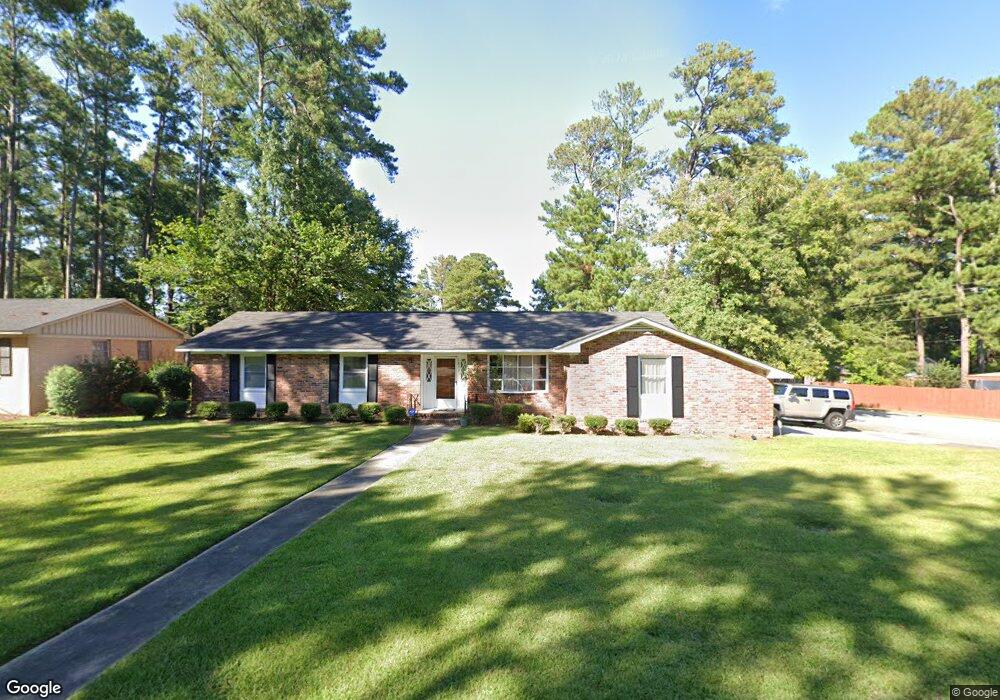
1833 Woodtrail Dr Columbia, SC 29210
Saint Andrews NeighborhoodEstimated Value: $198,136 - $229,000
3
Beds
2
Baths
1,527
Sq Ft
$140/Sq Ft
Est. Value
About This Home
This home is located at 1833 Woodtrail Dr, Columbia, SC 29210 and is currently estimated at $213,784, approximately $140 per square foot. 1833 Woodtrail Dr is a home located in Richland County with nearby schools including Sandel Elementary School, St. Andrews Middle School, and Columbia High School.
Ownership History
Date
Name
Owned For
Owner Type
Purchase Details
Closed on
Sep 28, 1999
Sold by
Hud
Bought by
Smith Claudia
Current Estimated Value
Home Financials for this Owner
Home Financials are based on the most recent Mortgage that was taken out on this home.
Original Mortgage
$67,465
Outstanding Balance
$20,464
Interest Rate
7.89%
Mortgage Type
FHA
Estimated Equity
$193,320
Purchase Details
Closed on
Apr 22, 1999
Sold by
Blocker William K and Blocker Nevetta W
Bought by
Hud
Create a Home Valuation Report for This Property
The Home Valuation Report is an in-depth analysis detailing your home's value as well as a comparison with similar homes in the area
Home Values in the Area
Average Home Value in this Area
Purchase History
| Date | Buyer | Sale Price | Title Company |
|---|---|---|---|
| Smith Claudia | $70,000 | -- | |
| Hud | $500 | -- |
Source: Public Records
Mortgage History
| Date | Status | Borrower | Loan Amount |
|---|---|---|---|
| Open | Smith Claudia | $67,465 |
Source: Public Records
Tax History Compared to Growth
Tax History
| Year | Tax Paid | Tax Assessment Tax Assessment Total Assessment is a certain percentage of the fair market value that is determined by local assessors to be the total taxable value of land and additions on the property. | Land | Improvement |
|---|---|---|---|---|
| 2024 | $1,093 | $105,200 | $0 | $0 |
| 2023 | $1,049 | $3,660 | $0 | $0 |
| 2022 | $952 | $91,500 | $12,800 | $78,700 |
| 2021 | $944 | $3,660 | $0 | $0 |
| 2020 | $957 | $3,660 | $0 | $0 |
| 2019 | $929 | $3,660 | $0 | $0 |
| 2018 | $842 | $3,300 | $0 | $0 |
| 2017 | $822 | $3,280 | $0 | $0 |
| 2016 | $819 | $3,280 | $0 | $0 |
| 2015 | $800 | $3,280 | $0 | $0 |
| 2014 | $778 | $81,900 | $0 | $0 |
| 2013 | -- | $3,280 | $0 | $0 |
Source: Public Records
Map
Nearby Homes
- 1917 Chandler Ave
- 2006 Mary Hill Dr
- 2116 Chandler Ave
- 1917 Kathleen Dr
- 1904 Elise Dr
- 2103 Marley Dr
- 1509 Nunamaker Dr
- 2717 Diane Dr
- 2229 Hertford Dr
- 2225 Hertford Dr
- 529 Cambout St
- 1605 Kathleen Dr
- 2214 Rolling Hills Rd
- 1913 Grays Inn Rd
- 321 Cambout St
- 1533 Westchester Dr
- 1825 Woodsboro Dr
- 2135 Rolling Hills Rd
- 1810 Saint Michaels Rd
- 1900 Rolling Hills Rd
- 1829 Woodtrail Dr
- 1705 Nunamaker Dr
- 1901 Woodtrail Dr
- 1704 Nunamaker Dr
- 1830 Woodtrail Dr
- 1825 Woodtrail Dr
- 1708 Nunamaker Dr
- 1826 Woodtrail Dr
- 1709 Nunamaker Dr
- 1916 Chandler Ave
- 1905 Woodtrail Dr
- 1822 Woodtrail Dr
- 1821 Woodtrail Dr
- 1912 Chandler Ave
- 1625 Nunamaker Dr
- 1900 Woodtrail Dr
- 1920 Chandler Ave
- 1908 Chandler Ave
- 2005 Mary Hill Dr
- 1816 Woodtrail Dr